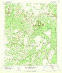
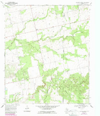
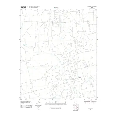
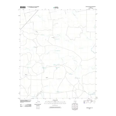
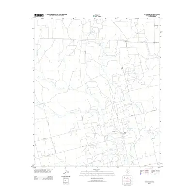
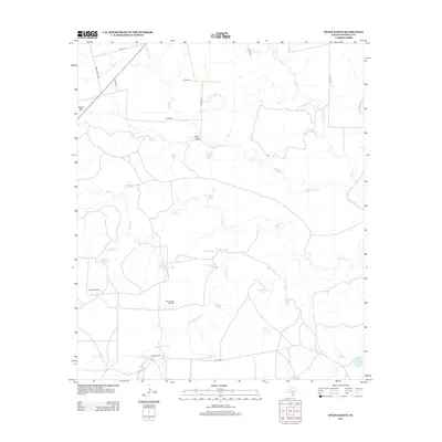
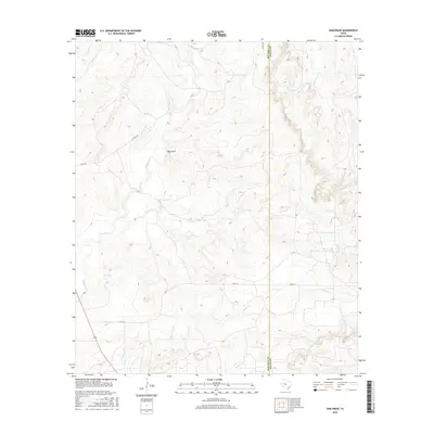
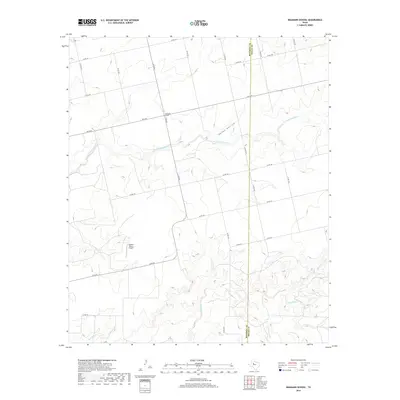
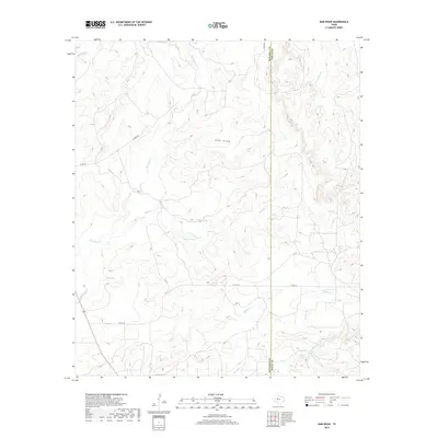
1962 Map of Hyman NE
USGS Topo · Published 1964About this map
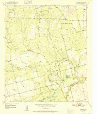
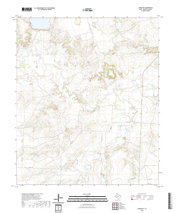
Beals Creek winds through the high plains of Mitchell County, defining a landscape shaped by intermittent water and early ranching infrastructure. During the early 1960s, this area of West Texas relied heavily on artificial water catchments like Vowell Tank, Meteor Tank, and Calf Creek Tank to support livestock in a semi-arid environment. The confluence of Hackberry Creek and Mustang Creek reveals a drainage system that cuts through the prominent Beals Mountain, creating a complex network of draws including Dry Hollow. Traces of the region's logistical history are visible at Spring Sta, while a Gravel Pit and the specifically named Calf Pasture Well point to the local economy's focus on land improvement and grazing operations.
Find a feature on this map
11 named features on this map. Tap any name to fly to it.
Don’t see what you’re looking for? This feature index may not catch every label — zoom into the map to look around manually.
Map Details
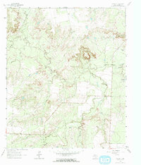
Editions of this 1962 Hyman NE Map
2 editions found
Historical Maps of Mitchell County Through Time
48 maps found
1950 Cedar Bend
Mitchell County, TX
1950 Colorado City SE
Mitchell County, TX
1952 Cuthbert
Mitchell County, TX
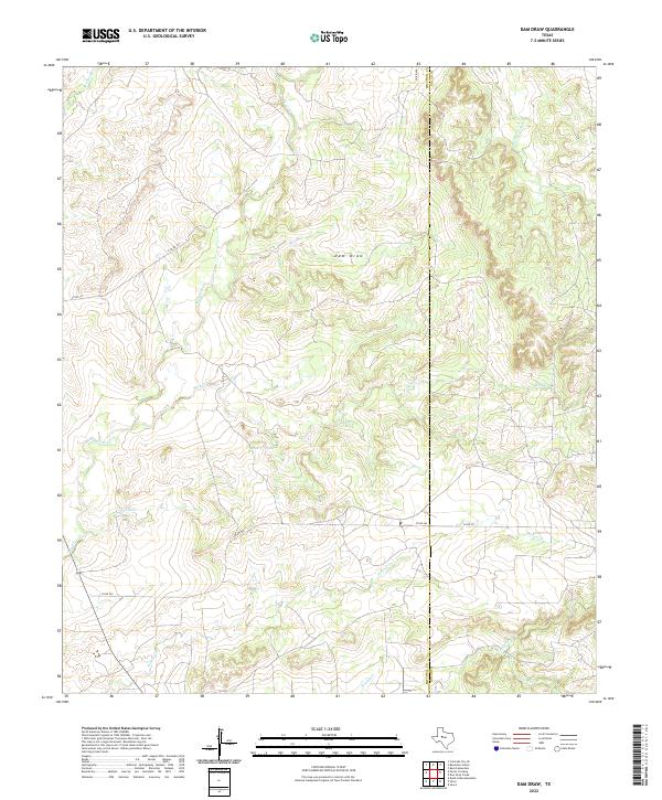
1959 Dam Draw
Mitchell County, TX
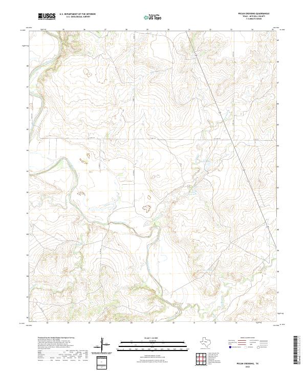
1959 Pecan Crossing
Mitchell County, TX
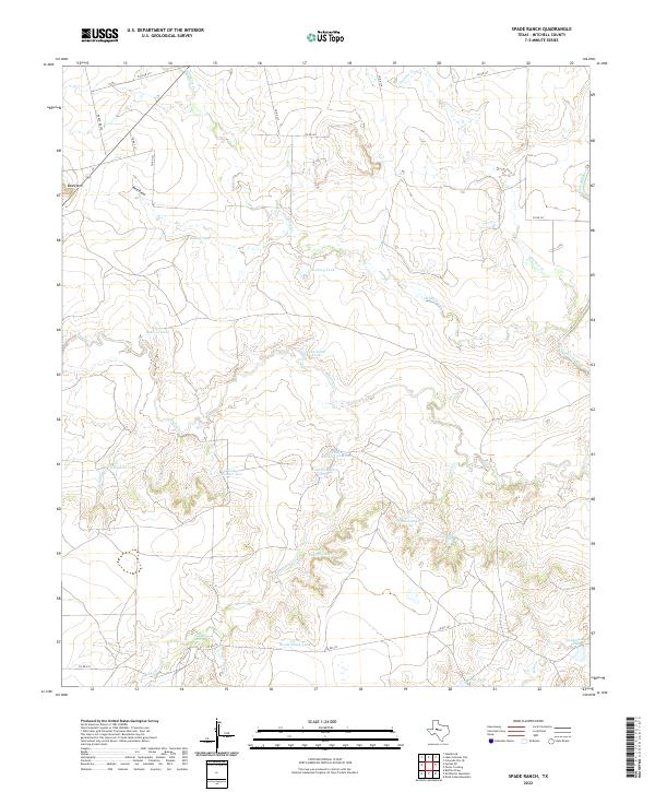
1959 Spade Ranch
Mitchell County, TX
1962 Hyman NE
Mitchell County, TX
1969 Baumann School
Mitchell County, TX
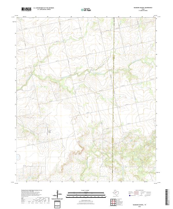
2010 Baumann School
Mitchell County, TX
2010 Cedar Bend
Mitchell County, TX
2010 Colorado City SE
Mitchell County, TX
2010 Cuthbert
Mitchell County, TX
2010 Dam Draw
Mitchell County, TX
2010 Hyman NE
Mitchell County, TX
2010 Pecan Crossing
Mitchell County, TX
2010 Spade Ranch
Mitchell County, TX
2012 Baumann School
Mitchell County, TX
2012 Cedar Bend
Mitchell County, TX
2012 Colorado City SE
Mitchell County, TX
2012 Cuthbert
Mitchell County, TX
2012 Dam Draw
Mitchell County, TX
2012 Hyman NE
Mitchell County, TX
2012 Pecan Crossing
Mitchell County, TX
2012 Spade Ranch
Mitchell County, TX
2016 Baumann School
Mitchell County, TX

2016 Cedar Bend
Mitchell County, TX
2016 Colorado City SE
Mitchell County, TX
2016 Cuthbert
Mitchell County, TX
2016 Dam Draw
Mitchell County, TX
2016 Hyman NE
Mitchell County, TX
2016 Pecan Crossing
Mitchell County, TX
2016 Spade Ranch
Mitchell County, TX
2019 Baumann School
Mitchell County, TX
2019 Cedar Bend
Mitchell County, TX
2019 Colorado City SE
Mitchell County, TX
2019 Cuthbert
Mitchell County, TX
2019 Dam Draw
Mitchell County, TX
2019 Hyman NE
Mitchell County, TX
2019 Pecan Crossing
Mitchell County, TX
2019 Spade Ranch
Mitchell County, TX
2022 Baumann School
Mitchell County, TX
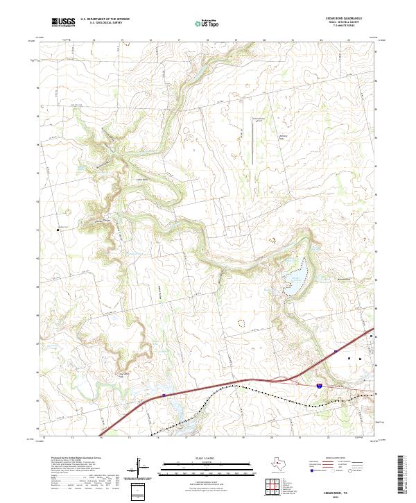
2022 Cedar Bend
Mitchell County, TX
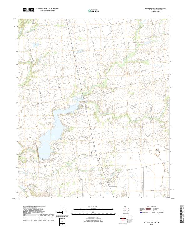
2022 Colorado City SE
Mitchell County, TX
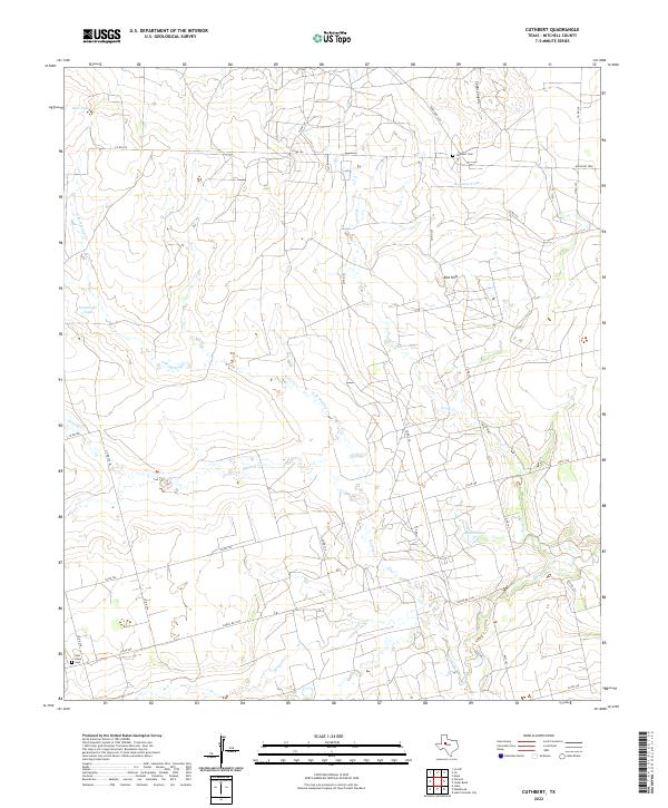
2022 Cuthbert
Mitchell County, TX
2022 Dam Draw
Mitchell County, TX
2022 Hyman NE
Mitchell County, TX
2022 Pecan Crossing
Mitchell County, TX
2022 Spade Ranch
Mitchell County, TX