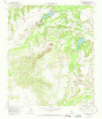
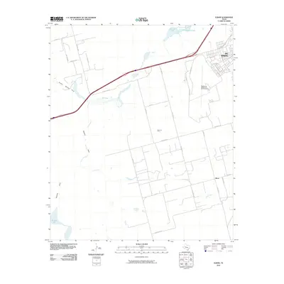
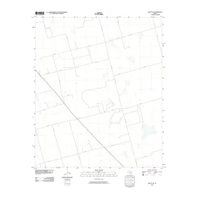
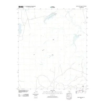
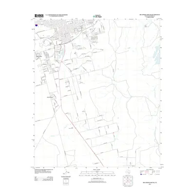
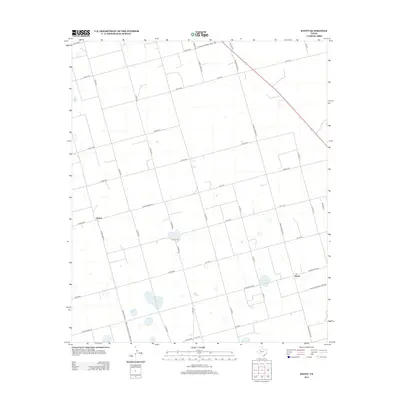
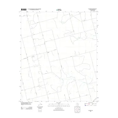
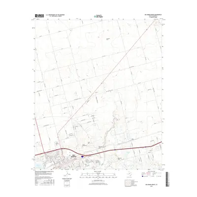
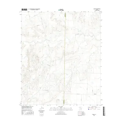
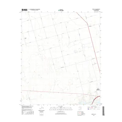
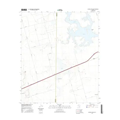
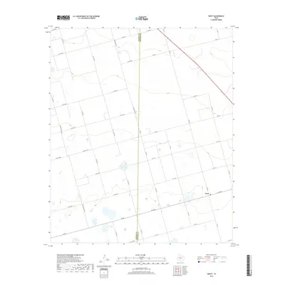
1952 Map of Iatan
USGS Topo · Published 1952About this map
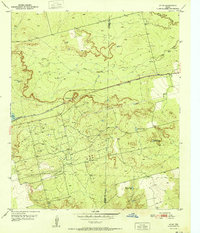
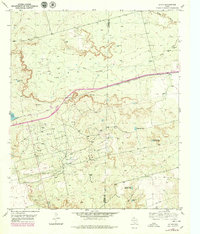
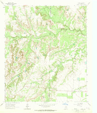
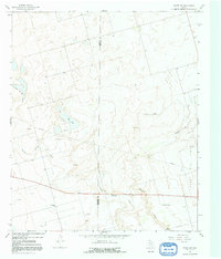
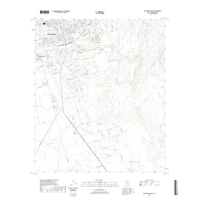
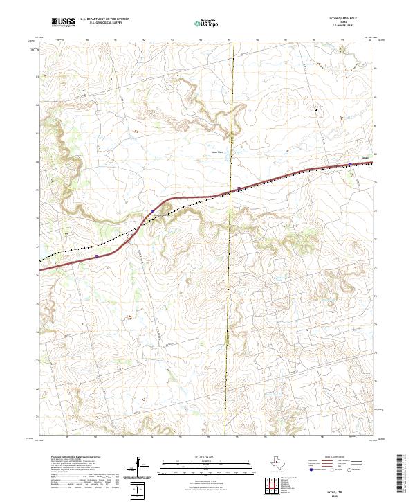
Industrial development and vast ranchlands define this portion of the Permian Basin in the early 1950s. The landscape of Iatan Flats is dominated by the energy infrastructure of the East Field, where an extensive network of pipe lines and a central Tank Farm indicate the area's mid-century petroleum activity. The Texas and Pacific railroad cuts a straight line through the center of the sheet, paralleling the course of Iatan Creek and passing near the northern edge of Iatan Lake. Water management for livestock is evident through numerous landmarks such as California Tank, Willow Tank, and Watson Tank. Geologic features like Rattlesnake Gap and the seasonal flows of Morgan Creek contrast with the man-made Caliche Pit operations, while the Iatan Cem provides a specific point of interest for genealogists researching early Howard County families.
Find a feature on this map
17 named features on this map. Tap any name to fly to it.
Don’t see what you’re looking for? This feature index may not catch every label — zoom into the map to look around manually.
Map Details
Editions of this 1952 Iatan Map
This is the sole edition of this map. No revisions or reprints were ever made.
Historical Maps of Iatan Through Time
92 maps found

1941 Big Spring South
Howard County, TX

1941 Morita
Howard County, TX

1942 Big Spring North
Howard County, TX

1942 Big Spring South
Howard County, TX

1949 Morita
Howard County, TX
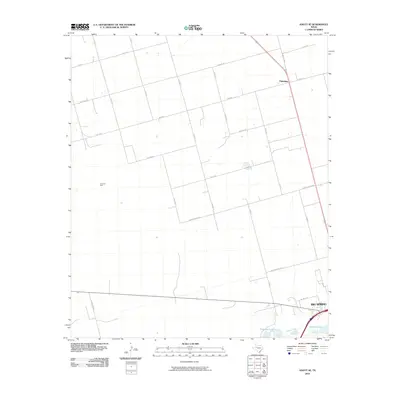
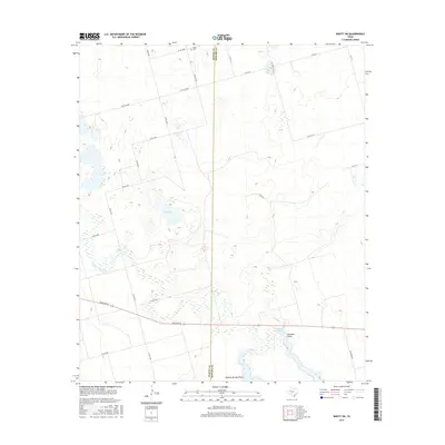
1951 Iatan
Howard County, TX
1951 Vincent
Howard County, TX
1952 Iatan
Howard County, TX

1954 Big Spring North
Howard County, TX
1954 Big Spring North NE
Howard County, TX
1963 Hyman
Howard County, TX

1965 Big Spring North
Howard County, TX

1966 Elbow
Howard County, TX
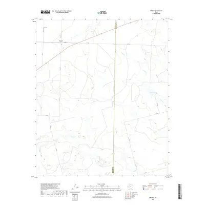
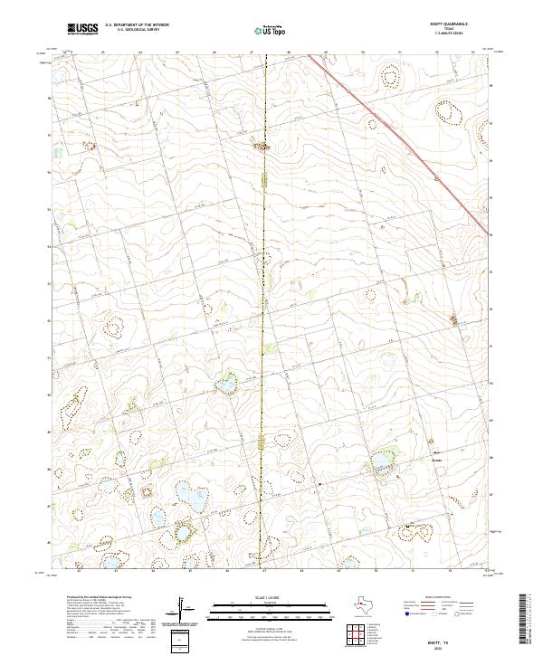
1966 Knott
Howard County, TX
1966 Knott NE
Howard County, TX
1966 Knott SE
Howard County, TX
1966 Knott SW
Howard County, TX
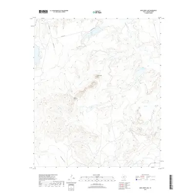
1966 Natural Dam Lake
Howard County, TX

1971 Big Spring North
Howard County, TX
1971 Big Spring South
Howard County, TX
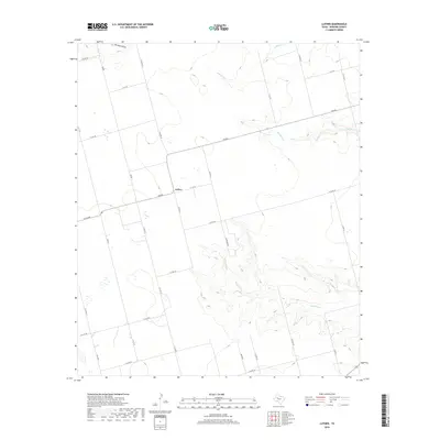
1971 Luther
Howard County, TX
1971 Moss Creek Lake
Howard County, TX
2010 Big Spring North
Howard County, TX
2010 Big Spring North NE
Howard County, TX
2010 Big Spring South
Howard County, TX
2010 Elbow
Howard County, TX
2010 Hyman
Howard County, TX
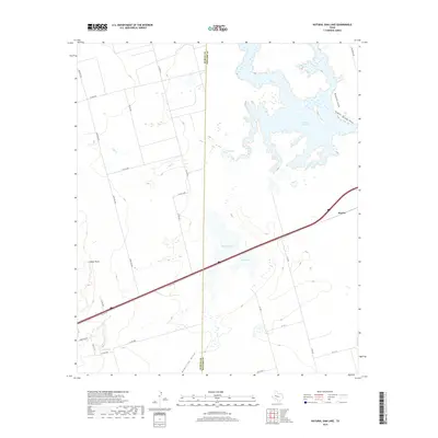
2010 Iatan
Howard County, TX
2010 Knott
Howard County, TX
2010 Knott NE
Howard County, TX
2010 Knott SE
Howard County, TX
2010 Knott SW
Howard County, TX
2010 Luther
Howard County, TX
2010 Moss Creek Lake
Howard County, TX

2010 Natural Dam Lake
Howard County, TX
2010 Vincent
Howard County, TX
2012 Big Spring North
Howard County, TX
2012 Big Spring North NE
Howard County, TX
2012 Big Spring South
Howard County, TX
2012 Elbow
Howard County, TX
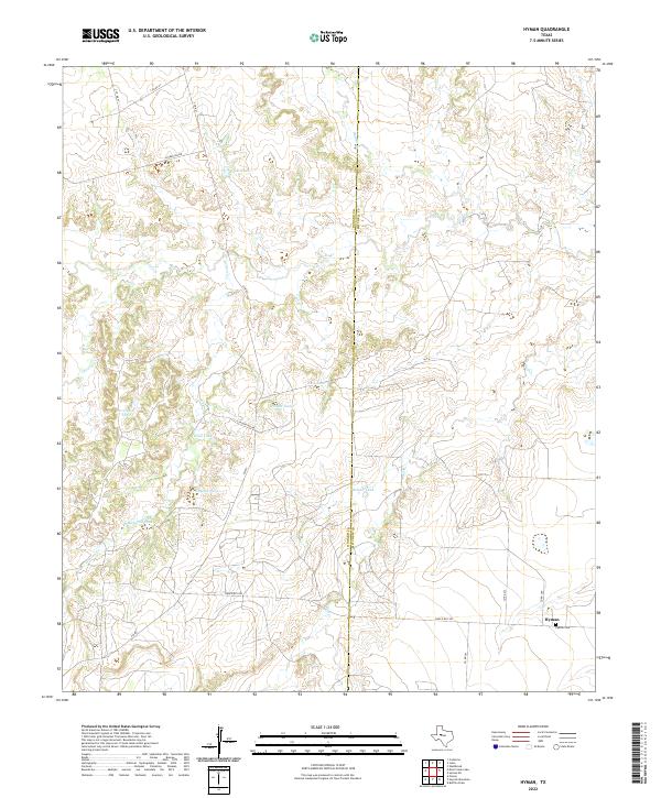
2012 Hyman
Howard County, TX
2012 Iatan
Howard County, TX
2012 Knott
Howard County, TX
2012 Knott NE
Howard County, TX
2012 Knott SE
Howard County, TX
2012 Knott SW
Howard County, TX
2012 Luther
Howard County, TX
2012 Moss Creek Lake
Howard County, TX
2012 Natural Dam Lake
Howard County, TX
2012 Vincent
Howard County, TX
2016 Big Spring North
Howard County, TX
2016 Big Spring North NE
Howard County, TX
2016 Big Spring South
Howard County, TX
2016 Elbow
Howard County, TX
2016 Hyman
Howard County, TX
2016 Iatan
Howard County, TX
2016 Knott
Howard County, TX
2016 Knott NE
Howard County, TX
2016 Knott SE
Howard County, TX
2016 Knott SW
Howard County, TX
2016 Luther
Howard County, TX
2016 Moss Creek Lake
Howard County, TX
2016 Natural Dam Lake
Howard County, TX
2016 Vincent
Howard County, TX
2019 Big Spring North
Howard County, TX
2019 Big Spring North NE
Howard County, TX
2019 Big Spring South
Howard County, TX
2019 Elbow
Howard County, TX
2019 Hyman
Howard County, TX
2019 Iatan
Howard County, TX
2019 Knott
Howard County, TX
2019 Knott NE
Howard County, TX
2019 Knott SE
Howard County, TX
2019 Knott SW
Howard County, TX
2019 Luther
Howard County, TX
2019 Moss Creek Lake
Howard County, TX
2019 Natural Dam Lake
Howard County, TX
2019 Vincent
Howard County, TX
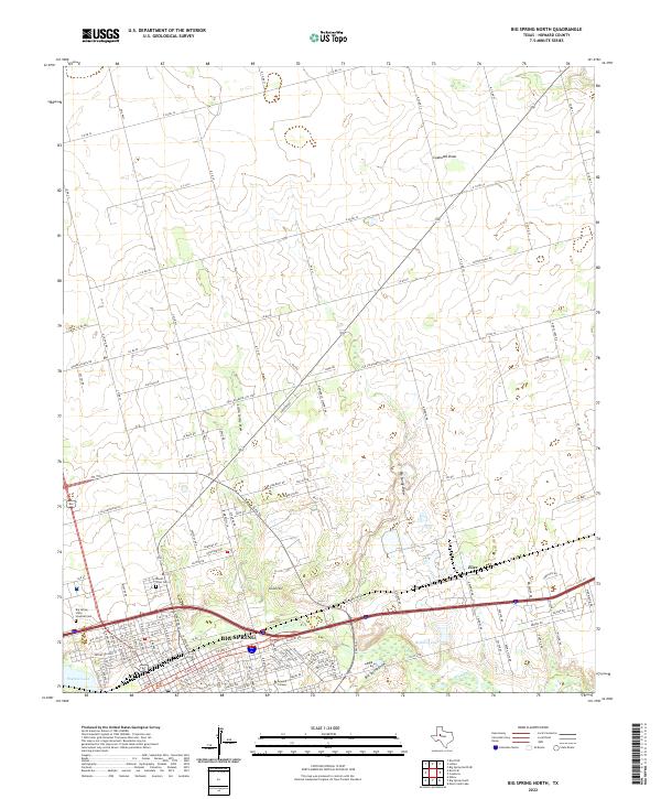
2022 Big Spring North
Howard County, TX
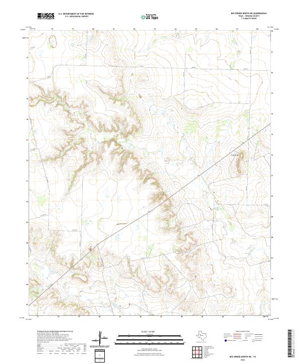
2022 Big Spring North NE
Howard County, TX
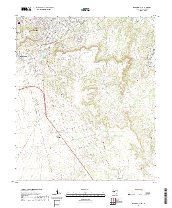
2022 Big Spring South
Howard County, TX
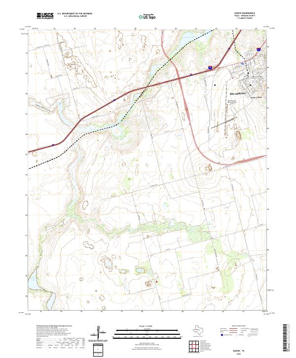
2022 Elbow
Howard County, TX
2022 Hyman
Howard County, TX
2022 Iatan
Howard County, TX
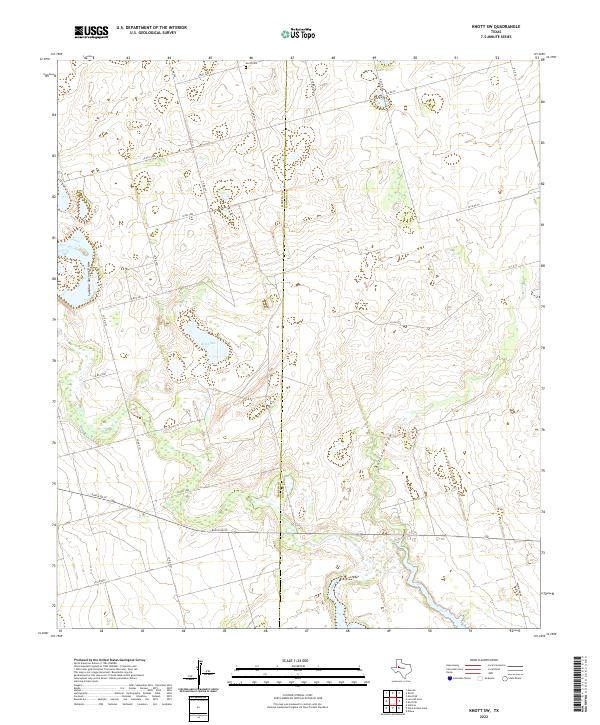
2022 Knott
Howard County, TX
2022 Knott NE
Howard County, TX
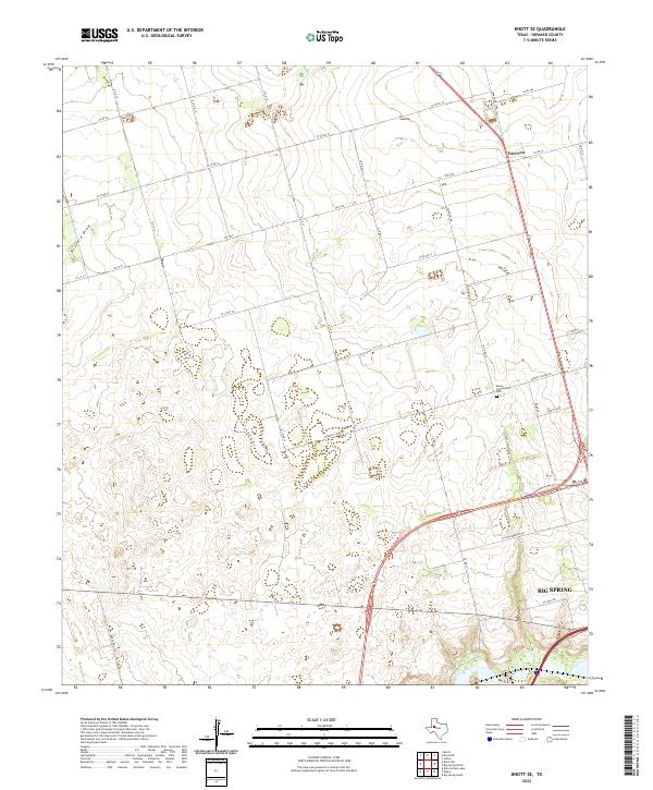
2022 Knott SE
Howard County, TX
2022 Knott SW
Howard County, TX
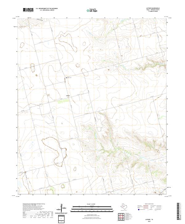
2022 Luther
Howard County, TX
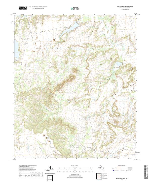
2022 Moss Creek Lake
Howard County, TX
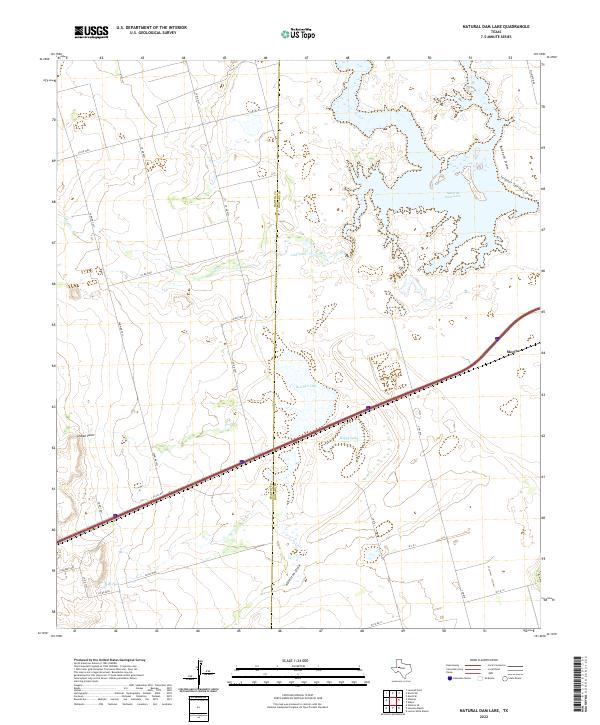
2022 Natural Dam Lake
Howard County, TX
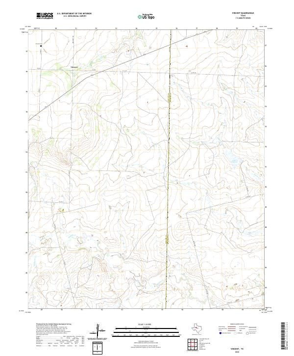
2022 Vincent
Howard County, TX