
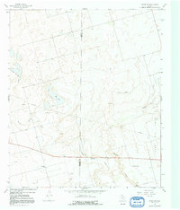
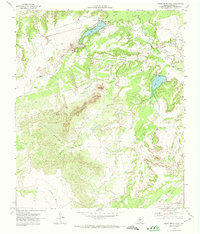
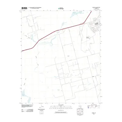
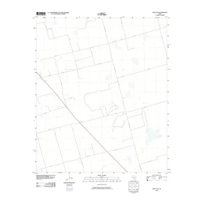
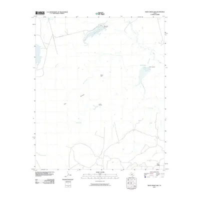
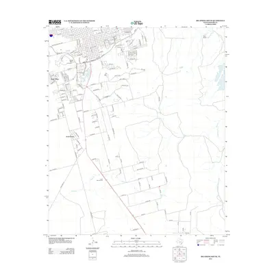
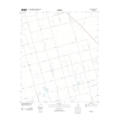
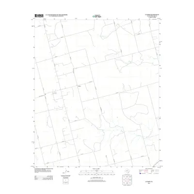
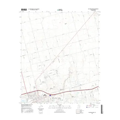
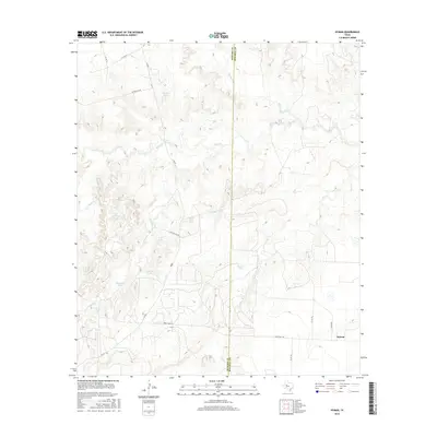
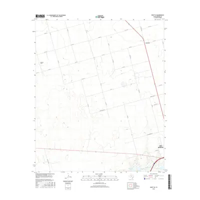
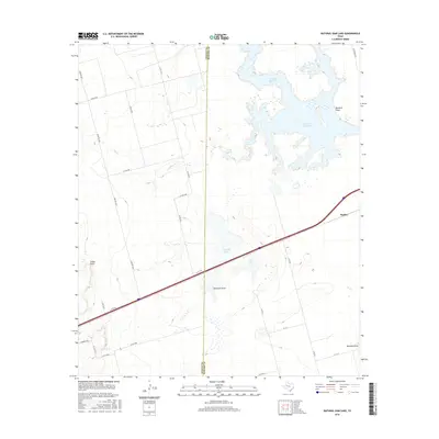
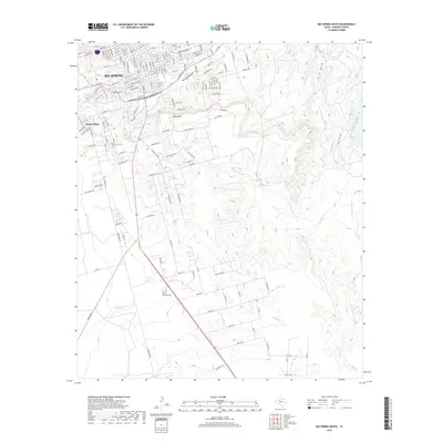
1942 Map of Big Spring North
USGS Topo · Published 1942About this map
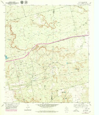
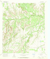
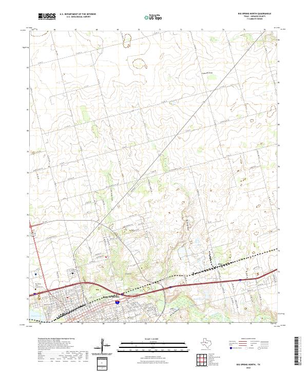
Big Spring and the surrounding West Texas plains are documented here just as the petroleum and agricultural industries were shaping Howard County. The Texas And Pacific railroad corridor serves as the primary axis of development, connecting Coahoma and Sand Springs while supporting a burgeoning industrial landscape that includes a Refinery and a large Tank Farm. Rural life is anchored by a dense network of country schools and churches, such as Richland Sch and Salem Ch, serving scattered homesteads and larger operations like the Reed Ranch. Beyond the concentrated activity in the south, the terrain is defined by the drainages of Morgan Creek and Wildhorse Creek, which cut through the landscape toward distinctive elevations like Flattop Mtn. This survey captures a transitional moment for the region, balancing traditional ranching with modern infrastructure like the State Hospital and an early Airway Beacon.
Find a feature on this map
35 named features on this map. Tap any name to fly to it.
Don’t see what you’re looking for? This feature index may not catch every label — zoom into the map to look around manually.
Map Details
Editions of this 1942 Big Spring North Map
This is the sole edition of this map. No revisions or reprints were ever made.
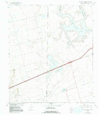
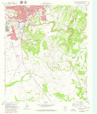
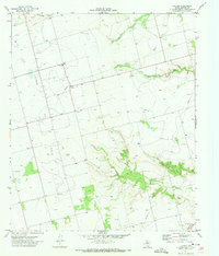
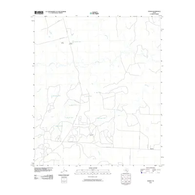
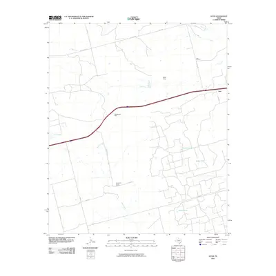
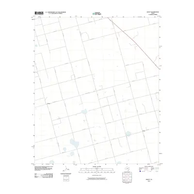
Historical Maps of Big Spring Through Time
92 maps found

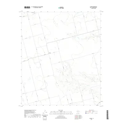
1941 Big Spring South
Howard County, TX

1941 Morita
Howard County, TX
1942 Big Spring North
Howard County, TX

1942 Big Spring South
Howard County, TX

1949 Morita
Howard County, TX
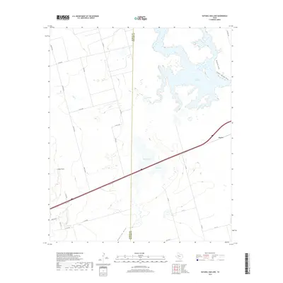
1951 Iatan
Howard County, TX
1951 Vincent
Howard County, TX
1952 Iatan
Howard County, TX

1954 Big Spring North
Howard County, TX
1954 Big Spring North NE
Howard County, TX
1963 Hyman
Howard County, TX

1965 Big Spring North
Howard County, TX

1966 Elbow
Howard County, TX
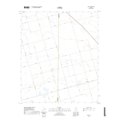
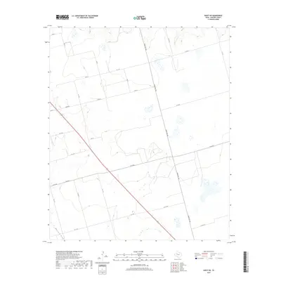
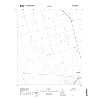
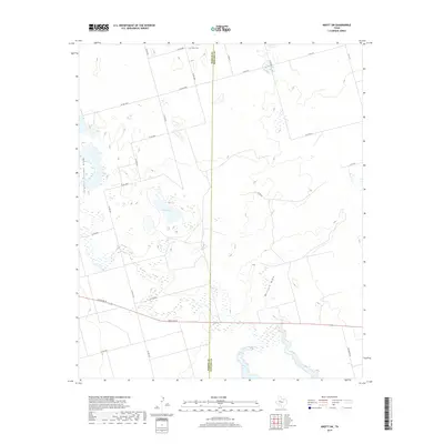
1966 Knott
Howard County, TX
1966 Knott NE
Howard County, TX
1966 Knott SE
Howard County, TX
1966 Knott SW
Howard County, TX
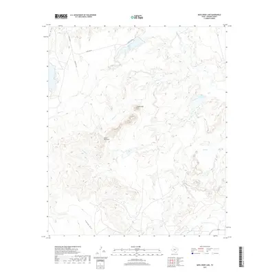
1966 Natural Dam Lake
Howard County, TX

1971 Big Spring North
Howard County, TX
1971 Big Spring South
Howard County, TX
1971 Luther
Howard County, TX
1971 Moss Creek Lake
Howard County, TX
2010 Big Spring North
Howard County, TX
2010 Big Spring North NE
Howard County, TX
2010 Big Spring South
Howard County, TX
2010 Elbow
Howard County, TX
2010 Hyman
Howard County, TX
2010 Iatan
Howard County, TX
2010 Knott
Howard County, TX
2010 Knott NE
Howard County, TX
2010 Knott SE
Howard County, TX
2010 Knott SW
Howard County, TX
2010 Luther
Howard County, TX
2010 Moss Creek Lake
Howard County, TX

2010 Natural Dam Lake
Howard County, TX
2010 Vincent
Howard County, TX
2012 Big Spring North
Howard County, TX
2012 Big Spring North NE
Howard County, TX
2012 Big Spring South
Howard County, TX
2012 Elbow
Howard County, TX
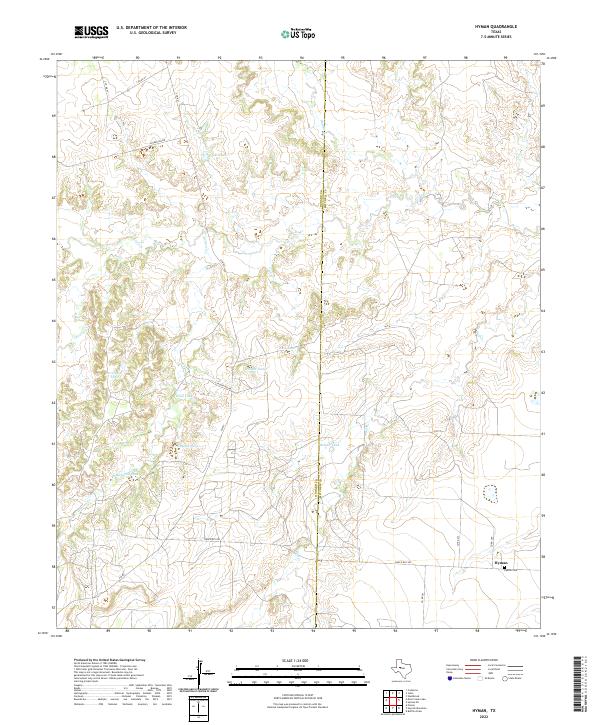
2012 Hyman
Howard County, TX
2012 Iatan
Howard County, TX
2012 Knott
Howard County, TX
2012 Knott NE
Howard County, TX
2012 Knott SE
Howard County, TX
2012 Knott SW
Howard County, TX
2012 Luther
Howard County, TX
2012 Moss Creek Lake
Howard County, TX
2012 Natural Dam Lake
Howard County, TX
2012 Vincent
Howard County, TX
2016 Big Spring North
Howard County, TX
2016 Big Spring North NE
Howard County, TX
2016 Big Spring South
Howard County, TX
2016 Elbow
Howard County, TX
2016 Hyman
Howard County, TX
2016 Iatan
Howard County, TX
2016 Knott
Howard County, TX
2016 Knott NE
Howard County, TX
2016 Knott SE
Howard County, TX
2016 Knott SW
Howard County, TX
2016 Luther
Howard County, TX
2016 Moss Creek Lake
Howard County, TX
2016 Natural Dam Lake
Howard County, TX
2016 Vincent
Howard County, TX
2019 Big Spring North
Howard County, TX
2019 Big Spring North NE
Howard County, TX
2019 Big Spring South
Howard County, TX
2019 Elbow
Howard County, TX
2019 Hyman
Howard County, TX
2019 Iatan
Howard County, TX
2019 Knott
Howard County, TX
2019 Knott NE
Howard County, TX
2019 Knott SE
Howard County, TX
2019 Knott SW
Howard County, TX
2019 Luther
Howard County, TX
2019 Moss Creek Lake
Howard County, TX
2019 Natural Dam Lake
Howard County, TX
2019 Vincent
Howard County, TX
2022 Big Spring North
Howard County, TX
2022 Big Spring North NE
Howard County, TX
2022 Big Spring South
Howard County, TX
2022 Elbow
Howard County, TX
2022 Hyman
Howard County, TX
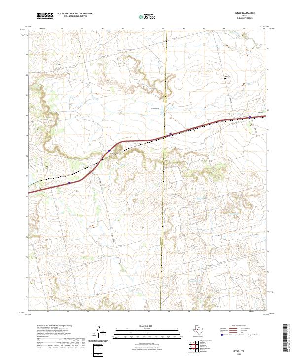
2022 Iatan
Howard County, TX
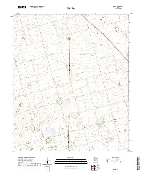
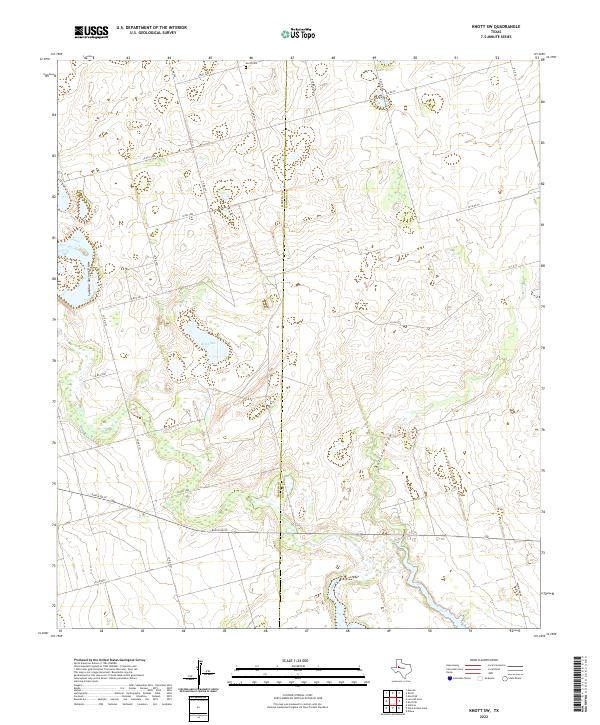
2022 Knott
Howard County, TX
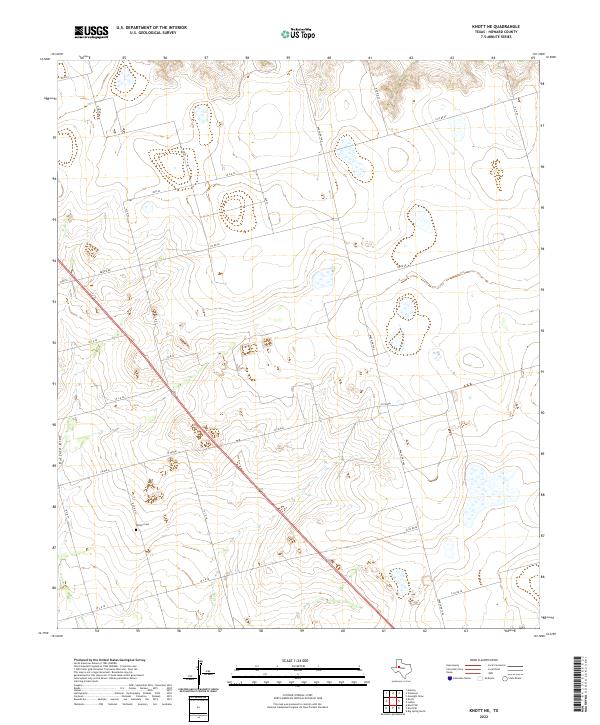
2022 Knott NE
Howard County, TX
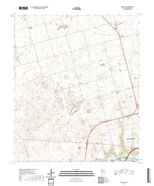
2022 Knott SE
Howard County, TX
2022 Knott SW
Howard County, TX
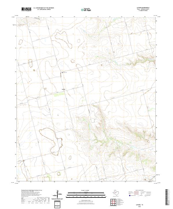
2022 Luther
Howard County, TX
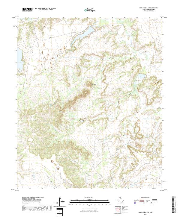
2022 Moss Creek Lake
Howard County, TX
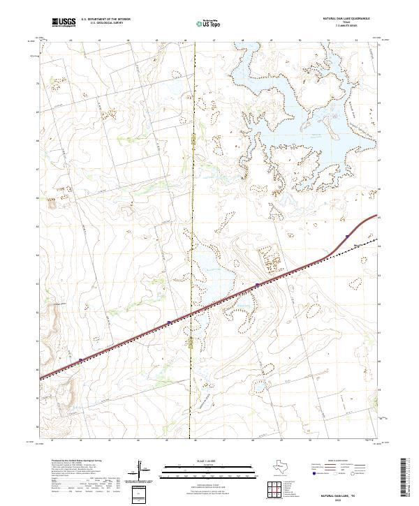
2022 Natural Dam Lake
Howard County, TX
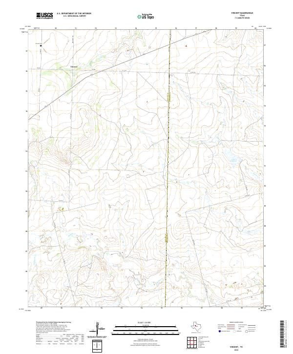
2022 Vincent
Howard County, TX