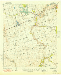
1949 Map of Morita
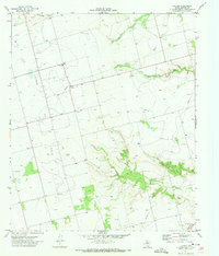
USGS Topo · Published 1949This historical map portrays the area of Morita in 1949, primarily covering Howard County as well as portions of Glasscock County and Martin County. Featuring a scale of 1:62500, this map provides a highly detailed snapshot of the terrain, roads, buildings, counties, and historical landmarks in the Morita region at the time. Published in 1949, it is the sole known edition of this map.
Map Details
Editions of this 1949 Morita Map
This is the sole edition of this map. No revisions or reprints were ever made.
Historical Maps of Howard County Through Time
22 maps found
1941 Big Spring South
Howard County, TX
1941 Morita
Howard County, TX
1942 Big Spring North
Howard County, TX
1942 Big Spring South
Howard County, TX

1949 Morita
Howard County, TX
1951 Iatan
Howard County, TX
1951 Vincent
Howard County, TX
1952 Iatan
Howard County, TX
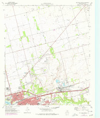
1954 Big Spring North
Howard County, TX
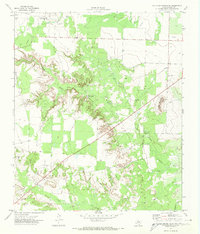
1954 Big Spring North NE
Howard County, TX
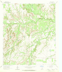
1963 Hyman
Howard County, TX
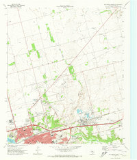
1965 Big Spring North
Howard County, TX
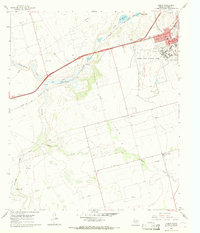
1966 Elbow
Howard County, TX
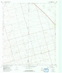
1966 Knott
Howard County, TX
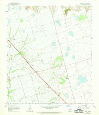
1966 Knott NE
Howard County, TX
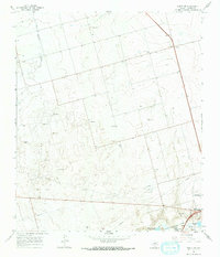
1966 Knott SE
Howard County, TX
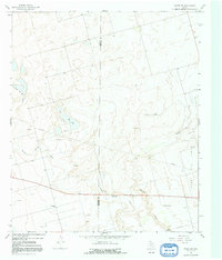
1966 Knott SW
Howard County, TX
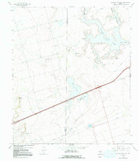
1966 Natural Dam Lake
Howard County, TX
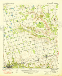
1971 Big Spring North
Howard County, TX
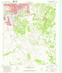
1971 Big Spring South
Howard County, TX
1971 Luther
Howard County, TX
1971 Moss Creek Lake
Howard County, TX