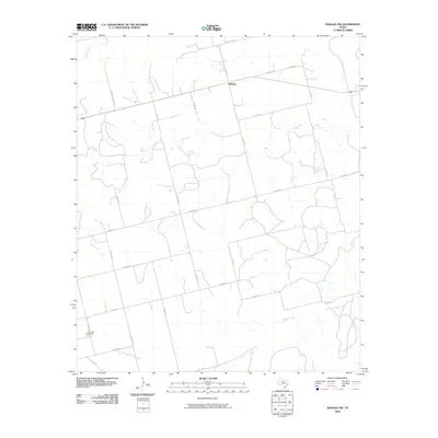
2010 Map of Inadale NW
USGS Topo · Published 2010About this map
Midway stands as a focal point in this West Texas landscape, situated along a primary east-west thoroughfare near the northern boundary of Scurry County. The terrain is defined by a series of drainages, most notably the winding course of the Clear Fork, which bisects the quadrangle, and the southern flow of Buffalo Creek. Local land use is reflected in a dense network of county roads and named corridors like Etheredge Ranch Rd, suggesting a rural economy rooted in ranching and agriculture. Near the southwestern corner, the Hermleigh Cemetery provides a significant touchstone for genealogical research and local history. Water sources such as Green Spring and Camp Creek further characterize this semi-arid environment, illustrating the geographic features that historically influenced settlement patterns and property lines in this part of the state.
Find a feature on this map
28 named features on this map. Tap any name to fly to it.
Don’t see what you’re looking for? This feature index may not catch every label — zoom into the map to look around manually.
Map Details
Editions of this 2010 Inadale NW Map
This is the sole edition of this map. No revisions or reprints were ever made.
Other maps of this area

1932 · Camp Springs
USGS Topo · 1:62,500

1952 · China Grove
USGS Topo · 1:24,000

1952 · Hermleigh
USGS Topo · 1:24,000

1954 · Lloyd Mountain
USGS Topo · 1:24,000

1954 · Big Spring
USGS Topo · 1:250,000

1958 · Big Spring
USGS Topo · 1:250,000

1969 · Camp Springs
USGS Topo · 1:24,000

1969 · Bull Creek
USGS Topo · 1:24,000

1969 · Inadale NW
USGS Topo · 1:24,000

1969 · Bernecker
USGS Topo · 1:24,000