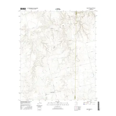
2016 Map of Camp Springs
USGS Topo · Published 2016About this map
Camp Springs serves as the focal point of this West Texas landscape, where the Scurry County and Fisher County line marks a distinct boundary across the rolling terrain. The settlement’s early heritage is anchored by the Camp Springs Cem, located near the intersection of several farm-to-market and county roads. The physical geography is defined by a network of seasonal watercourses, including the westward-flowing Camp Cr and the northern reaches of Rough Cr. Notable landmarks such as Green Mtn and the recessed Horse Hollow illustrate the varied elevations of the region. The presence of Dripping Spring and Gyp Draw further highlights the unique hydrologic and geologic character of the area, while a series of rural routes like E FM 1614 and Co RD 1163 connect the remote ranchlands and homesteads that have long characterized this part of the state.
Find a feature on this map
27 named features on this map. Tap any name to fly to it.
Don’t see what you’re looking for? This feature index may not catch every label — zoom into the map to look around manually.
Map Details
Editions of this 2016 Camp Springs Map
This is the sole edition of this map. No revisions or reprints were ever made.
Other maps of this area

1926 · Snyder 1-a
USGS Topo · 1:48,000

1932 · Camp Springs
USGS Topo · 1:62,500

1952 · Hermleigh
USGS Topo · 1:24,000

1954 · Lloyd Mountain
USGS Topo · 1:24,000

1954 · Big Spring
USGS Topo · 1:250,000

1958 · Big Spring
USGS Topo · 1:250,000

1969 · Camp Springs
USGS Topo · 1:24,000

1969 · Bull Creek
USGS Topo · 1:24,000

1969 · Inadale NW
USGS Topo · 1:24,000

1969 · Maverick Creek
USGS Topo · 1:24,000