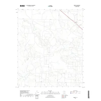
2019 Map of Dermott
USGS Topo · Published 2019About this map
Dermott sits along the northern edge of this Scurry County landscape, where the high plains begin to break into a network of draws and seasonal creek beds. The drainage patterns of Deep Cr and Mooar Draw dominate the topography, revealing the subtle erosional shifts characteristic of West Texas. Natural water sources like Deep Creek Springs stand out as critical points of interest in an otherwise arid environment, while a network of named county roads and local routes like Tate Trl and Eiland Ranch Rd trace the paths between ranches and homesteads. The terrain is marked by numerous small depressions and intermittent flows, including Mooar Cr and Bluff Cr, illustrating the complex hydrology that governs land use and settlement in this part of the Rolling Plains.
Find a feature on this map
21 named features on this map. Tap any name to fly to it.
Don’t see what you’re looking for? This feature index may not catch every label — zoom into the map to look around manually.
Map Details
Editions of this 2019 Dermott Map
This is the sole edition of this map. No revisions or reprints were ever made.
Other maps of this area

1951 · Ira NW
USGS Topo · 1:24,000

1952 · Snyder
USGS Topo · 1:24,000

1952 · Ira NE
USGS Topo · 1:24,000

1954 · Dermott
USGS Topo · 1:24,000

1954 · Brand
USGS Topo · 1:24,000

1954 · Big Spring
USGS Topo · 1:250,000

1958 · Big Spring
USGS Topo · 1:250,000

1969 · Arah
USGS Topo · 1:24,000

1969 · Fluvanna
USGS Topo · 1:24,000

1969 · Flat Top Mountain
USGS Topo · 1:24,000