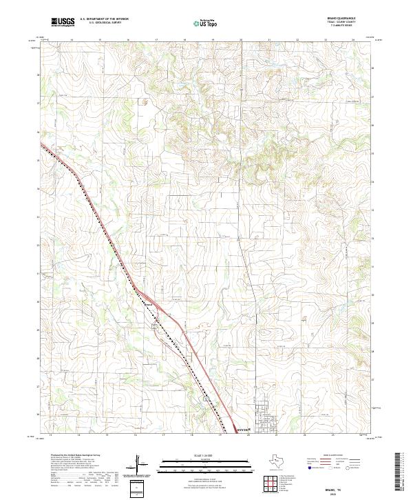
2022 Map of Brand
USGS Topo · Published 2022About this map
The community of Brand and the northern outskirts of Snyder anchor this survey of the West Texas plains. Located in Scurry County, the landscape is defined by the drainage basins of Ennis Cr, Deep Cr, and Horse Cr, which cut through the undulating terrain. The settlement pattern is largely shaped by a grid of county roads and farm-to-market routes, including FM 1142 and FM 1231. These roads connect isolated ranching properties and small homesteads, reflecting the enduring rural character of the region.
Find a feature on this map
43 named features on this map. Tap any name to fly to it.
Don’t see what you’re looking for? This feature index may not catch every label — zoom into the map to look around manually.
Map Details
Editions of this 2022 Brand Map
This is the sole edition of this map. No revisions or reprints were ever made.
Other maps of this area

1952 · Snyder
USGS Topo · 1:24,000

1952 · Ira NE
USGS Topo · 1:24,000

1952 · Hermleigh
USGS Topo · 1:24,000

1954 · Lloyd Mountain
USGS Topo · 1:24,000

1954 · Dermott
USGS Topo · 1:24,000

1954 · Brand
USGS Topo · 1:24,000

1954 · Big Spring
USGS Topo · 1:250,000

1958 · Big Spring
USGS Topo · 1:250,000

1969 · Maverick Creek
USGS Topo · 1:24,000

1969 · Flat Top Mountain
USGS Topo · 1:24,000