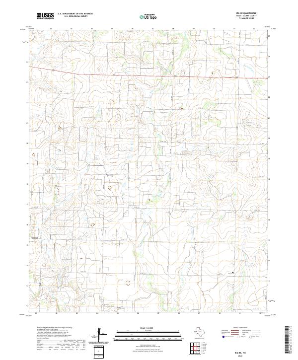
2022 Map of Ira NE
USGS Topo · Published 2022About this map
Bluff Creek and Chimney Creek carve through this section of the West Texas plains, where a complex grid of county roads defines the rural landscape of Scurry County. The terrain is characterized by these intermittent drainage networks that flow toward larger basins, shaping the placement of the sparse local infrastructure. Near the southeastern corner of the map, Canyon Cemetery serves as a significant genealogical marker for the area's residents. The map's layout, dominated by a dense network of routes such as FM 1607 and FM 1610, reflects a rural economy deeply tied to the land. This survey provides a clear view of the intersection between natural watercourses like Moour Creek and the man-made grid of farm-to-market roads and cattle lanes that have supported the region's agricultural and ranching history.
Find a feature on this map
37 named features on this map. Tap any name to fly to it.
Don’t see what you’re looking for? This feature index may not catch every label — zoom into the map to look around manually.
Map Details
Editions of this 2022 Ira NE Map
This is the sole edition of this map. No revisions or reprints were ever made.
Other maps of this area

1951 · Ira SW
USGS Topo · 1:24,000

1951 · Ira
USGS Topo · 1:24,000

1951 · Dunn
USGS Topo · 1:24,000

1951 · Ira NW
USGS Topo · 1:24,000

1952 · Snyder
USGS Topo · 1:24,000

1952 · Ira NE
USGS Topo · 1:24,000

1954 · Dermott
USGS Topo · 1:24,000

1954 · Brand
USGS Topo · 1:24,000

1954 · Big Spring
USGS Topo · 1:250,000

1958 · Big Spring
USGS Topo · 1:250,000