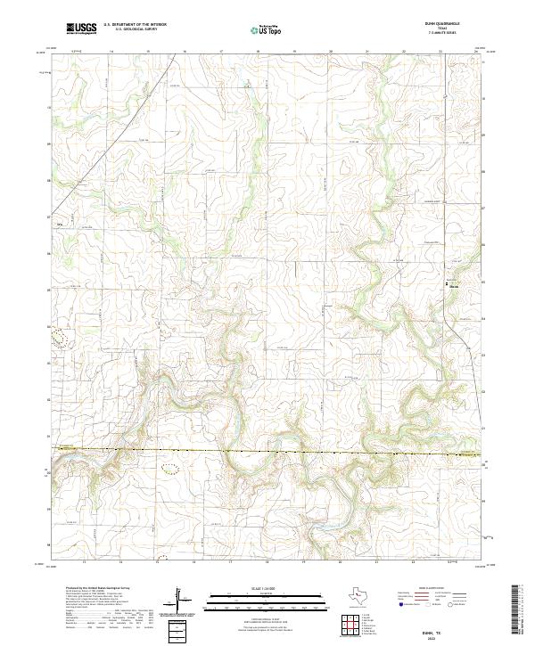
2022 Map of Dunn
USGS Topo · Published 2022About this map
The Colorado River winds through the southern portion of this West Texas landscape, marking the boundary between Scurry and Mitchell counties. The terrain is defined by a network of drainage systems, including Deep Creek and Sulphur Creek, which converge as they move toward the river valley. In the northeast, Cherokee Ridge provides a distinct topographic rise above the surrounding plains.
Find a feature on this map
40 named features on this map. Tap any name to fly to it.
Don’t see what you’re looking for? This feature index may not catch every label — zoom into the map to look around manually.
Map Details
Editions of this 2022 Dunn Map
This is the sole edition of this map. No revisions or reprints were ever made.
Other maps of this area

1950 · Cedar Bend
USGS Topo · 1:24,000

1951 · Ira
USGS Topo · 1:24,000

1951 · Dunn
USGS Topo · 1:24,000

1952 · Cuthbert
USGS Topo · 1:24,000

1952 · Snyder
USGS Topo · 1:24,000

1952 · China Grove
USGS Topo · 1:24,000

1952 · Colorado City
USGS Topo · 1:24,000

1952 · Ira NE
USGS Topo · 1:24,000

1952 · Hermleigh
USGS Topo · 1:24,000

1954 · Big Spring
USGS Topo · 1:250,000