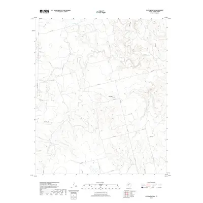
2019 Map of Lloyd Mountain
USGS Topo · Published 2019About this map
Lloyd Mtn stands as a prominent elevation in this northern Scurry County landscape, where an intricate network of draws and creeks dissects the West Texas terrain. The hydrology of the area is defined by the diverging paths of Salt Springs Cr and Rough Creek, which flow through the northern reaches, while Cottonwood Cr and Rockwall Cr drain the southern sections. This late 2010s survey illustrates a region largely shaped by its watercourses and ranching infrastructure, evidenced by numerous county roads like Co RD 1116 and private routes such as PR Ranch RD and Ryon Ranch RD. The topography reveals the natural drainage patterns of the Llano Estacado's edge, including specific features like Fault Draw and Cedar Draw that channel runoff toward the larger creek systems like Ennis Cr and Lloyd Cr.
Find a feature on this map
30 named features on this map. Tap any name to fly to it.
Don’t see what you’re looking for? This feature index may not catch every label — zoom into the map to look around manually.
Map Details
Editions of this 2019 Lloyd Mountain Map
This is the sole edition of this map. No revisions or reprints were ever made.
Other maps of this area

1932 · Camp Springs
USGS Topo · 1:62,500

1952 · Snyder
USGS Topo · 1:24,000

1952 · Hermleigh
USGS Topo · 1:24,000

1954 · Lloyd Mountain
USGS Topo · 1:24,000

1954 · Brand
USGS Topo · 1:24,000

1954 · Big Spring
USGS Topo · 1:250,000

1958 · Big Spring
USGS Topo · 1:250,000

1969 · Camp Springs
USGS Topo · 1:24,000

1969 · Inadale NW
USGS Topo · 1:24,000

1969 · Maverick Creek
USGS Topo · 1:24,000