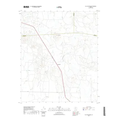
2019 Map of Flat Top Mountain
USGS Topo · Published 2019About this map
Fullerville stands as a focal point in this West Texas landscape, where the borders of Scurry, Garza, and Kent counties converge. The terrain is defined by the prominent Flat Top Mtn, a landform that anchors a complex network of seasonal drainage systems. Several watercourses, including Rocky Cr, Little Grape Cr, and Grape Cr, carve through the plains, illustrating the natural watershed patterns of the Rolling Plains region.
Find a feature on this map
19 named features on this map. Tap any name to fly to it.
Don’t see what you’re looking for? This feature index may not catch every label — zoom into the map to look around manually.
Map Details
Editions of this 2019 Flat Top Mountain Map
This is the sole edition of this map. No revisions or reprints were ever made.
Other maps of this area

1954 · Dermott
USGS Topo · 1:24,000

1954 · Brand
USGS Topo · 1:24,000

1954 · Lubbock
USGS Topo · 1:250,000

1954 · Big Spring
USGS Topo · 1:250,000

1958 · Big Spring
USGS Topo · 1:250,000

1969 · Arah
USGS Topo · 1:24,000

1969 · Justiceburg SE
USGS Topo · 1:24,000

1969 · Fluvanna
USGS Topo · 1:24,000

1969 · Justiceburg
USGS Topo · 1:24,000

1969 · Flat Top Mountain
USGS Topo · 1:24,000