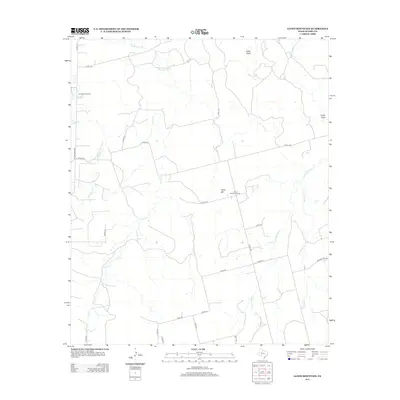
2012 Map of Lloyd Mountain
USGS Topo · Published 2012About this map
Lloyd Mtn anchors this section of Scurry County, where the landscape is defined by an intricate network of seasonal watercourses and rural roads. The area's educational history is marked by the presence of the Ennis Creek School in the northwest and the Lloyd Mountain School located just east of the mountain's peak. These small, localized institutions once served the families working the surrounding ranchlands and agricultural plots.
Find a feature on this map
31 named features on this map. Tap any name to fly to it.
Don’t see what you’re looking for? This feature index may not catch every label — zoom into the map to look around manually.
Map Details
Editions of this 2012 Lloyd Mountain Map
This is the sole edition of this map. No revisions or reprints were ever made.
Other maps of this area

1932 · Camp Springs
USGS Topo · 1:62,500

1952 · Snyder
USGS Topo · 1:24,000

1952 · Hermleigh
USGS Topo · 1:24,000

1954 · Lloyd Mountain
USGS Topo · 1:24,000

1954 · Brand
USGS Topo · 1:24,000

1954 · Big Spring
USGS Topo · 1:250,000

1958 · Big Spring
USGS Topo · 1:250,000

1969 · Camp Springs
USGS Topo · 1:24,000

1969 · Inadale NW
USGS Topo · 1:24,000

1969 · Maverick Creek
USGS Topo · 1:24,000