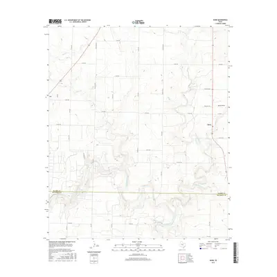
2016 Map of Dunn
USGS Topo · Published 2016About this map
The Colorado River winds through the southern landscape of this West Texas region, marking the boundary between Scurry and Mitchell counties. This 2016 survey captures the agrarian character of the High Plains, where a geometric grid of county roads, such as Block Line Rd and Round Top Rd, connects remote ranching operations and small settlements. The community of Dunn serves as a local hub along the eastern edge, while the town of Ira sits at the western margin. Significant relief is found along Cherokee Ridge and the Wildcat Draw, where the terrain breaks toward the river valley. Numerous ephemeral waterways, including Canyon Cr, Sulphur Cr, and Little Sulphur Cr, create a complex drainage network that defines the local topography and historical land use patterns in this semi-arid environment.
Find a feature on this map
40 named features on this map. Tap any name to fly to it.
Don’t see what you’re looking for? This feature index may not catch every label — zoom into the map to look around manually.
Map Details
Editions of this 2016 Dunn Map
This is the sole edition of this map. No revisions or reprints were ever made.
Other maps of this area

1950 · Cedar Bend
USGS Topo · 1:24,000

1951 · Ira
USGS Topo · 1:24,000

1951 · Dunn
USGS Topo · 1:24,000

1952 · Cuthbert
USGS Topo · 1:24,000

1952 · Snyder
USGS Topo · 1:24,000

1952 · China Grove
USGS Topo · 1:24,000

1952 · Colorado City
USGS Topo · 1:24,000

1952 · Ira NE
USGS Topo · 1:24,000

1952 · Hermleigh
USGS Topo · 1:24,000

1954 · Big Spring
USGS Topo · 1:250,000