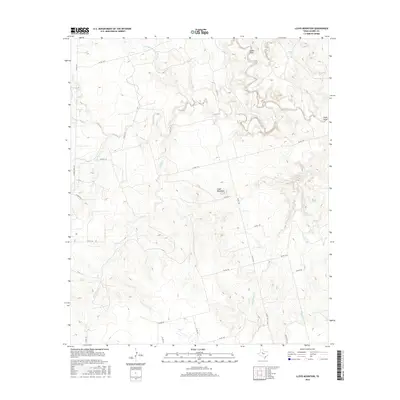
2016 Map of Lloyd Mountain
USGS Topo · Published 2016About this map
Lloyd Mountain rises as a central topographic anchor in this portion of Scurry County, where the landscape is defined by an intricate network of seasonal drainages and draws. The northern reaches are carved by the winding course of Rough Creek and Cedar Draw, while Salt Springs Cr skirts the upper boundary. The terrain suggests a transition between upland plateaus and the dissected breaks common to this region of West Texas.
Find a feature on this map
30 named features on this map. Tap any name to fly to it.
Don’t see what you’re looking for? This feature index may not catch every label — zoom into the map to look around manually.
Map Details
Editions of this 2016 Lloyd Mountain Map
This is the sole edition of this map. No revisions or reprints were ever made.
Other maps of this area

1932 · Camp Springs
USGS Topo · 1:62,500

1952 · Snyder
USGS Topo · 1:24,000

1952 · Hermleigh
USGS Topo · 1:24,000

1954 · Lloyd Mountain
USGS Topo · 1:24,000

1954 · Brand
USGS Topo · 1:24,000

1954 · Big Spring
USGS Topo · 1:250,000

1958 · Big Spring
USGS Topo · 1:250,000

1969 · Camp Springs
USGS Topo · 1:24,000

1969 · Inadale NW
USGS Topo · 1:24,000

1969 · Maverick Creek
USGS Topo · 1:24,000