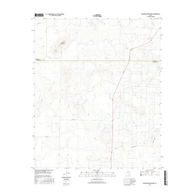
2016 Map of McKenzie Mountains
USGS Topo · Published 2016About this map
The McKenzie Mountains rise above the high plains of the Texas Panhandle-South Plains border, where the boundary between Kent and Scurry counties bisects the terrain. This landscape is defined by its seasonal drainage network, with watercourses like McKenzie Cr and Ennis Cr carving through the elevation. The area maintains a ranching character, evidenced by roads such as Fuller E Ranch Rd and Fuller Ranch Rd that thread between the breaks. In the northeast, Elkins Springs serves as a notable hydrologic feature near the headwaters of Cooper Cr. The map captures a moment in the mid-2010s where the primary human footprint is a sparse grid of secondary routes like Ranch Rd 1231 and FM 1142, supporting the isolated agricultural and ranching operations characteristic of this region.
Find a feature on this map
17 named features on this map. Tap any name to fly to it.
Don’t see what you’re looking for? This feature index may not catch every label — zoom into the map to look around manually.
Map Details
Editions of this 2016 McKenzie Mountains Map
This is the sole edition of this map. No revisions or reprints were ever made.
Other maps of this area
1954 · Lloyd Mountain
USGS Topo · 1:24,000
1954 · Dermott
USGS Topo · 1:24,000
1954 · Brand
USGS Topo · 1:24,000
1954 · Lubbock
USGS Topo · 1:250,000
1954 · Big Spring
USGS Topo · 1:250,000
1958 · Big Spring
USGS Topo · 1:250,000
1969 · Justiceburg SE
USGS Topo · 1:24,000
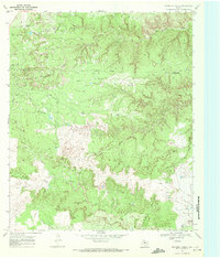
1969 · Maverick Creek
USGS Topo · 1:24,000
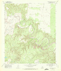
1969 · Cooper Mountain
USGS Topo · 1:24,000
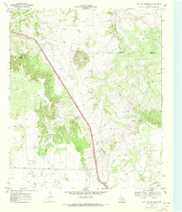
1969 · Flat Top Mountain
USGS Topo · 1:24,000