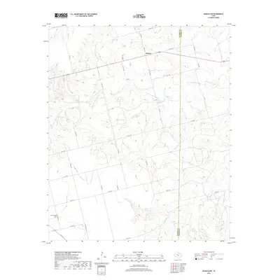
2019 Map of Inadale NW
USGS Topo · Published 2019About this map
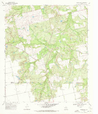
The Clear Fork Brazos River winds through this West Texas landscape, defining the transition between Scurry and Fisher counties. In the northern reaches, the small community of Midway sits along US Route 180, a primary east-west artery across the rolling plains. Water sources are vital features here, marked by Greene Springs and Green Spring which feed into the river system. To the southwest, the Hermleigh Cemetery serves as a significant genealogical marker for the surrounding rural area. The terrain is characterized by a dense network of county roads, such as County Road 4114 and County Road 4102, which connect isolated ranching operations and homes to the larger regional thoroughfares. Local drainage basins for Buffalo Creek and Camp Creek further illustrate the hydrology of this semi-arid region during the early 21st century.
Find a feature on this map
36 named features on this map. Tap any name to fly to it.
Don’t see what you’re looking for? This feature index may not catch every label — zoom into the map to look around manually.
Map Details
Editions of this 2019 Inadale NW Map
This is the sole edition of this map. No revisions or reprints were ever made.
Other maps of this area
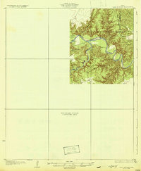
1932 · Camp Springs
USGS Topo · 1:62,500
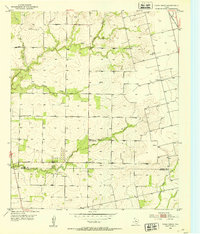
1952 · China Grove
USGS Topo · 1:24,000
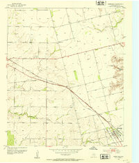
1952 · Hermleigh
USGS Topo · 1:24,000
1954 · Lloyd Mountain
USGS Topo · 1:24,000

1954 · Big Spring
USGS Topo · 1:250,000

1958 · Big Spring
USGS Topo · 1:250,000
1969 · Camp Springs
USGS Topo · 1:24,000
1969 · Bull Creek
USGS Topo · 1:24,000
1969 · Inadale NW
USGS Topo · 1:24,000
1969 · Bernecker
USGS Topo · 1:24,000