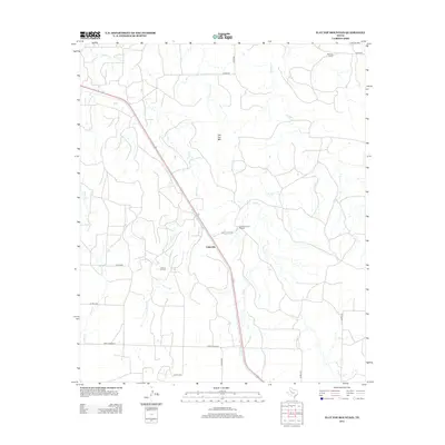
2012 Map of Flat Top Mountain
USGS Topo · Published 2012About this map
Fullerville sits at the heart of this West Texas landscape, where the ranching economy and petroleum industry intersect. The settlement's connection to the land is marked by large landholdings such as the Fuller Brothers L P Ranch and the Williams Ranch. To the southwest, the Lozone Oil Field indicates the subsurface activity that defined the region's 20th-century growth. The terrain is characterized by the prominent Flat Top Mtn and a network of drainages including Grape Cr, Little Grape Cr, and Rocky Cr. A web of county roads and Ranch Road 612 provides access to these remote ranching outposts, tracing the contours of a topography shaped by intermittent creek beds and flat-topped mesas.
Find a feature on this map
20 named features on this map. Tap any name to fly to it.
Don’t see what you’re looking for? This feature index may not catch every label — zoom into the map to look around manually.
Map Details
Editions of this 2012 Flat Top Mountain Map
This is the sole edition of this map. No revisions or reprints were ever made.
Other maps of this area

1954 · Dermott
USGS Topo · 1:24,000

1954 · Brand
USGS Topo · 1:24,000

1954 · Lubbock
USGS Topo · 1:250,000

1954 · Big Spring
USGS Topo · 1:250,000

1958 · Big Spring
USGS Topo · 1:250,000

1969 · Arah
USGS Topo · 1:24,000

1969 · Justiceburg SE
USGS Topo · 1:24,000

1969 · Fluvanna
USGS Topo · 1:24,000

1969 · Justiceburg
USGS Topo · 1:24,000

1969 · Flat Top Mountain
USGS Topo · 1:24,000