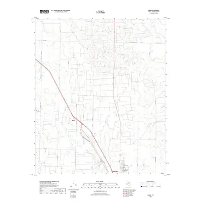
2019 Map of Brand
USGS Topo · Published 2019About this map
Snyder sits at the southern edge of this West Texas survey, where the grid of city streets like Smith Ave and Texas Ave meets the open ranchland of Scurry County. The landscape is defined by the ephemeral drainage patterns of Deep Cr, Ennis Cr, and Horse Cr, which carve shallow paths through the plains toward the southeast. Near the center of the sheet, the small settlement of Brand marks a junction along the highway, surrounded by a network of county roads including Hayes Ranch Rd and Co Rd 278. This 2019 data illustrates the modern rural infrastructure of the region, where wide-reaching secondary roads like W Ennis Creek Rd and Co Rd 267 connect isolated homesteads and agricultural tracts to the growing outskirts of the county seat.
Find a feature on this map
35 named features on this map. Tap any name to fly to it.
Don’t see what you’re looking for? This feature index may not catch every label — zoom into the map to look around manually.
Map Details
Editions of this 2019 Brand Map
This is the sole edition of this map. No revisions or reprints were ever made.
Other maps of this area

1952 · Snyder
USGS Topo · 1:24,000

1952 · Ira NE
USGS Topo · 1:24,000

1952 · Hermleigh
USGS Topo · 1:24,000

1954 · Lloyd Mountain
USGS Topo · 1:24,000

1954 · Dermott
USGS Topo · 1:24,000

1954 · Brand
USGS Topo · 1:24,000

1954 · Big Spring
USGS Topo · 1:250,000

1958 · Big Spring
USGS Topo · 1:250,000

1969 · Maverick Creek
USGS Topo · 1:24,000

1969 · Flat Top Mountain
USGS Topo · 1:24,000