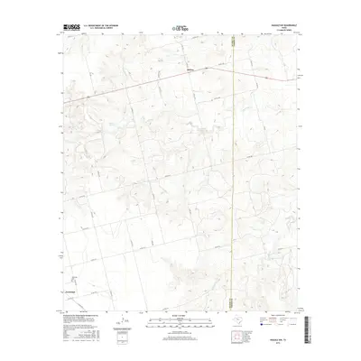
2016 Map of Inadale NW
USGS Topo · Published 2016About this map
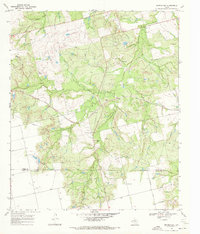
Midway lies at the intersection of Texas highway 180 and regional country roads in this part of Scurry County. The landscape is defined by the branching tributaries of the Clear Fork Brazos River, which carves a network of drainage channels through the rolling West Texas terrain. To the southwest, the settlement of Hermleigh sits along the roadway network, serving as a focal point for the surrounding rural ranchlands and agricultural properties. This 2016 survey illustrates the modern configuration of the county road system, marking numerous local connectors such as Co Rd 4111 and Co Rd 4102 that provide access to the intermittent creek beds and open spaces characteristic of the region.
Find a feature on this map
2 named features on this map. Tap any name to fly to it.
Don’t see what you’re looking for? This feature index may not catch every label — zoom into the map to look around manually.
Map Details
Editions of this 2016 Inadale NW Map
This is the sole edition of this map. No revisions or reprints were ever made.
Other maps of this area
1932 · Camp Springs
USGS Topo · 1:62,500
1952 · China Grove
USGS Topo · 1:24,000
1952 · Hermleigh
USGS Topo · 1:24,000
1954 · Lloyd Mountain
USGS Topo · 1:24,000

1954 · Big Spring
USGS Topo · 1:250,000

1958 · Big Spring
USGS Topo · 1:250,000
1969 · Camp Springs
USGS Topo · 1:24,000
1969 · Bull Creek
USGS Topo · 1:24,000
1969 · Inadale NW
USGS Topo · 1:24,000
1969 · Bernecker
USGS Topo · 1:24,000