Old Maps of Panorama Village, Texas for Metal Detecting
Plan your next treasure hunt with 30 historic maps of Panorama Village. Find old homesites, ghost towns, trails, and gathering spots that may be lost to time — perfect for identifying promising metal detecting locations.
- Locate forgotten sites: Uncover places like long-lost settlements, abandoned rail lines, or gathering spots.
- Plan better hunts: Use map overlays combined with LiDAR or satellite views to narrow in on historically rich areas.
- Made for detectorists: Thousands of hobbyists use these maps to discover relics, coins, and hidden history.
Use these historic maps to boost your research and find new opportunities beneath the surface of Panorama Village.
Panorama Village, TX maps
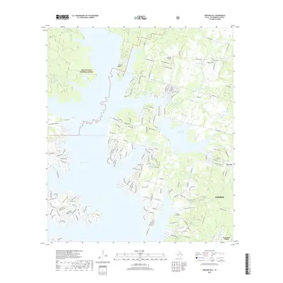
(30)- 1954 Map of Beaumont, 1964 Print
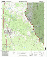
 1954 Beaumont1964 Print · USGSSoutheast Texas in the mid-fifties reveals a landscape of massive national forests, emerging reservoirs, and a booming oil economy. Genealogists and researchers can trace rural settlements like Dallardsville and Village Mills or locate early drilling sites at Sour Lake Oil Field.3 unique versions available
 - 1957 Map of Beaumont
 1957 Beaumont1957 Print · USGSSoutheast Texas in the mid-fifties is defined by the timber-rich lands between the Trinity River and Beaumont. Trace the history of the Alabama and Coushatti Indian Reservation or locate early campus sites like Prairie View College.
 - 1958 Map of Conroe, 1959 Print
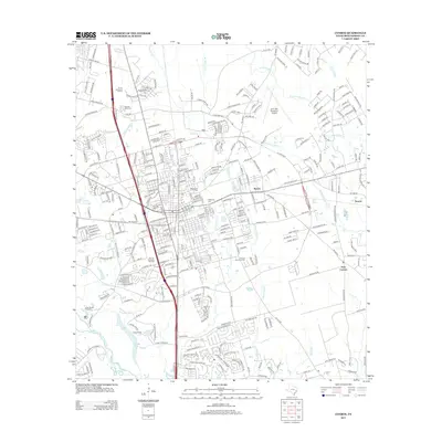
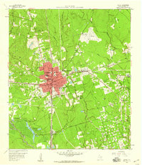 1958 Conroe1959 Print · USGSConroe and the surrounding Montgomery County landscape are caught in a period of significant mid-century growth and industrial activity. Genealogists and historians can locate old landmarks like the Conroe Normal and Industrial College, Rosewood Cem, and the extensive Conroe Oil Field.5 unique versions available
 - 1958 Map of Cowl Spur, 1959 Print
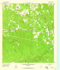 1958 Cowl Spur1959 Print · USGSMontgomery County in the late fifties was a landscape of expanding oil fields and rural rail stops. Genealogists and historians can trace old settlements like Honea and Leonidas or locate family sites at Coplan Chapel Cemetery and Sapp Cem.4 unique versions available
 - 1958 Map of Lake Paula, 1959 Print
 1958 Lake Paula1959 Print · USGSMontgomery County was a landscape of dense pine forests and active petroleum extraction in the late fifties. Genealogists and historians can trace family-named sites like Shepard Cem and Shepard Hill or the workings of the Willis Oil Field.3 unique versions available
 - 1960 Map of Willis, 1961 Print
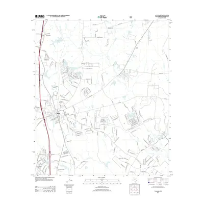
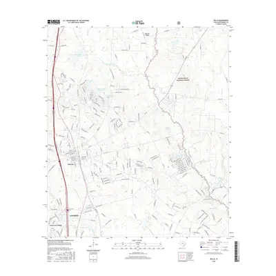
 1960 Willis1961 Print · USGSThe town of Willis stands at the edge of the East Texas timberlands in the early sixties, a landscape defined by forest and resource extraction. Researchers can locate family landmarks such as New Hope Ch, the Turner High Sch, and the Missouri Pacific rail line.3 unique versions available
 - 1984 Map of Beaumont
 1984 Beaumont1984 Print · USGSSoutheast Texas in the late seventies and early eighties shows a landscape of expanding reservoirs and deep timber industry. Researchers can trace the development of the Sam Houston National Forest or locate regional landmarks like Grabbs Prairie and the Wynne State Prison Farm.3 unique versions available
 - 1985 Map of Conroe
 1985 Conroe1985 Print · USGSSoutheast Texas in the mid-eighties shows a landscape of timberlands and new lakeside developments. Researchers can trace the legacy of rail lines like the Southern Pacific RR or locate rural communities such as Plantersville, Yarboro, and Hufsmith.2 unique versions available
 - 1997 Map of Willis, 2000 Print
 1997 Willis2000 Print · USGSWillis and the surrounding Montgomery County piney woods are captured here in the late nineties as the town expanded near the national forest. Genealogists and local historians can locate the New Hope Church, Turner High School, and the industrial footprint of the Pitts Gas Field.
 - 1997 Map of Shepard Hill, 2000 Print
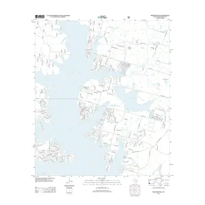
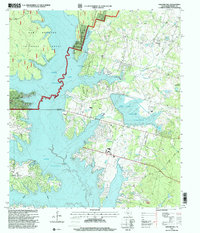 1997 Shepard Hill2000 Print · USGSThe woodlands and shorelines of Montgomery County appear in detail during the late nineties as recreation and reservoir management shaped the landscape. Researchers can locate Shepard Cemetery and trace the complex waterways of Peach Creek and Lewis Creek Reservoir.
 - 2010 Map of Conroe, 2010 Print
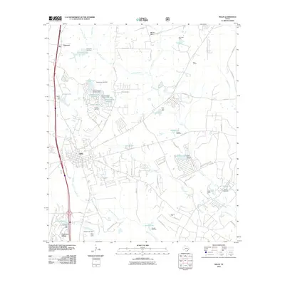
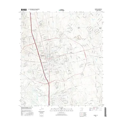
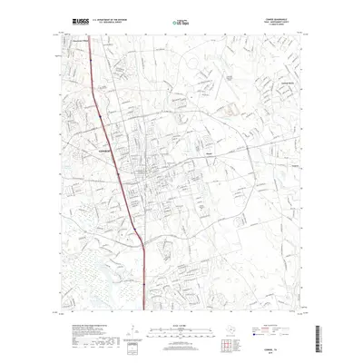
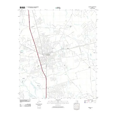 2010 Conroe2010 Print · USGSCovers Panorama Village, including Conroe, Cut and Shoot, and other nearby areas
 - 2010 Map of Cowl Spur, 2010 Print
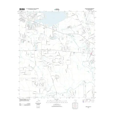
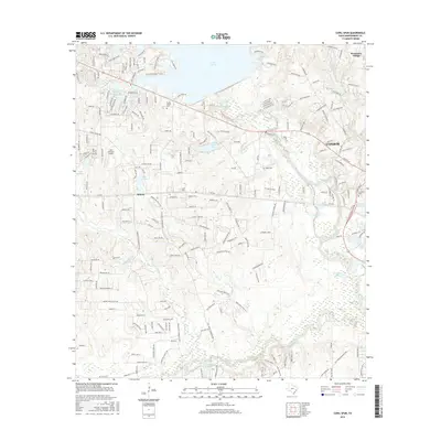
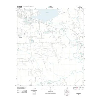 2010 Cowl Spur2010 Print · USGSCovers Panorama Village, including Conroe, Honea, and other nearby areas
 - 2010 Map of Willis, 2010 Print
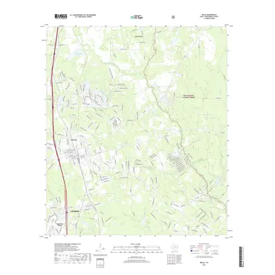
 2010 Willis2010 Print · USGSCovers Panorama Village, including Conroe, Willis, and other nearby areas
 - 2010 Map of Shepard Hill, 2010 Print
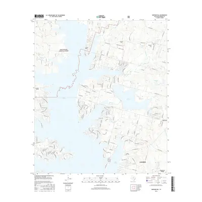
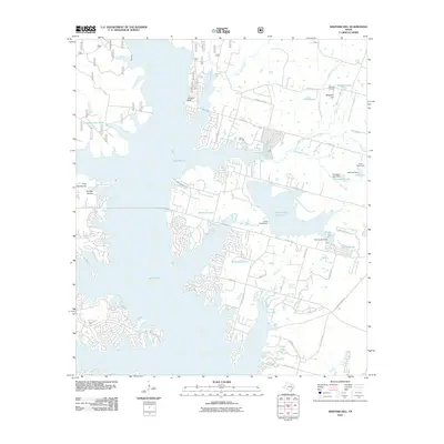 2010 Shepard Hill2010 Print · USGSCovers Panorama Village, including Conroe, Willis, and other nearby areas
 - 2013 Map of Shepard Hill, 2013 Print
 2013 Shepard Hill2013 Print · USGSCovers Panorama Village, including Conroe, Willis, and other nearby areas
 - 2013 Map of Cowl Spur, 2013 Print
 2013 Cowl Spur2013 Print · USGSCovers Panorama Village, including Conroe, Honea, and other nearby areas
 - 2013 Map of Willis, 2013 Print
 2013 Willis2013 Print · USGSCovers Panorama Village, including Conroe, Willis, and other nearby areas
 - 2013 Map of Conroe, 2013 Print
 2013 Conroe2013 Print · USGSCovers Panorama Village, including Conroe, Cut and Shoot, and other nearby areas
 - 2016 Map of Willis, 2016 Print
 2016 Willis2016 Print · USGSCovers Panorama Village, including Conroe, Willis, and other nearby areas
 - 2016 Map of Conroe, 2016 Print
 2016 Conroe2016 Print · USGSCovers Panorama Village, including Conroe, Cut and Shoot, and other nearby areas
 - 2016 Map of Shepard Hill, 2016 Print
 2016 Shepard Hill2016 Print · USGSCovers Panorama Village, including Conroe, Willis, and other nearby areas
 - 2016 Map of Cowl Spur, 2016 Print
 2016 Cowl Spur2016 Print · USGSCovers Panorama Village, including Conroe, Honea, and other nearby areas
 - 2019 Map of Willis, 2019 Print
 2019 Willis2019 Print · USGSCovers Panorama Village, including Conroe, Willis, and other nearby areas
 - 2019 Map of Conroe, 2019 Print
 2019 Conroe2019 Print · USGSCovers Panorama Village, including Conroe, Cut and Shoot, and other nearby areas
 - 2019 Map of Shepard Hill, 2019 Print
 2019 Shepard Hill2019 Print · USGSCovers Panorama Village, including Conroe, Willis, and other nearby areas
Showing maps 1-25 of 30
Top cities near Panorama Village
- The Woodlands historical maps
- Conroe historical maps
- Willis historical maps
- Oak Ridge North historical maps
- Magnolia historical maps
- Shenandoah historical maps
See more
Frequently asked questions
- What are the different types of historical maps available for Panorama Village?
- What is the oldest map of Panorama Village?
- Where can I purchase historical maps of Panorama Village for my home or office?
- Where can I download high-res historical maps of Panorama Village?
- Are there historical topographic maps available for Panorama Village?
- Is there historical aerial imagery available for Panorama Village?
- Where are historical maps of Panorama Village sourced from?