2000s (21st Century) Maps of River Plantation, Texas
Explore 10 historic maps of River Plantation from the 2000s (21st Century). These maps offer a rare glimpse into what life looked like during the 2000s — showing old roads, neighborhoods, homes, and landmarks that have changed or disappeared over time.
Whether you're researching your family's past, planning a metal detecting trip, or studying how River Plantation's landscape evolved across the 2000s, these high-resolution maps are a powerful tool for exploring the history of this region.
- Focus on a specific era: All maps on this page are from the 2000s, giving you a focused view of this time period.
- See what’s changed: Compare century-old streets, trails, and buildings to today's modern landscape using overlays and satellite layers.
- Research with precision: Use these maps for genealogy, historical research, land use analysis, or educational projects.
- View, download, or print: Maps are fully viewable online in high resolution, and can be downloaded or printed for your own records.
Start exploring River Plantation's history through authentic maps from the 2000s. This is your window into the past.
River Plantation, TX maps
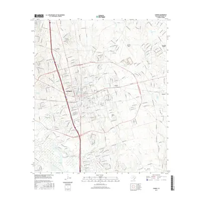
(10)- 2010 Map of Conroe, 2010 Print
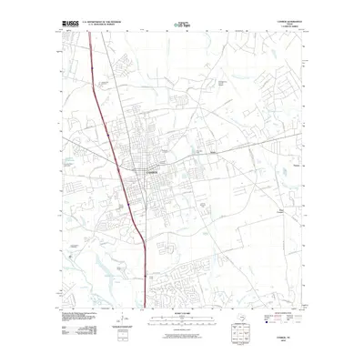 2010 Conroe2010 Print · USGSCovers River Plantation, including Conroe, Panorama Village, and other nearby areas
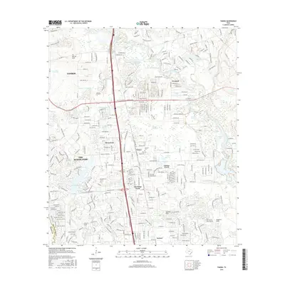
 - 2010 Map of Tamina, 2010 Print
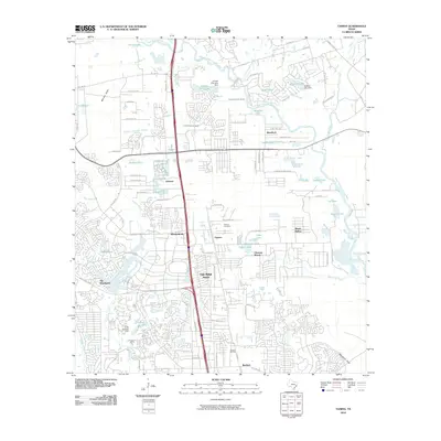 2010 Tamina2010 Print · USGSCovers River Plantation, including The Woodlands, Conroe, and other nearby areas
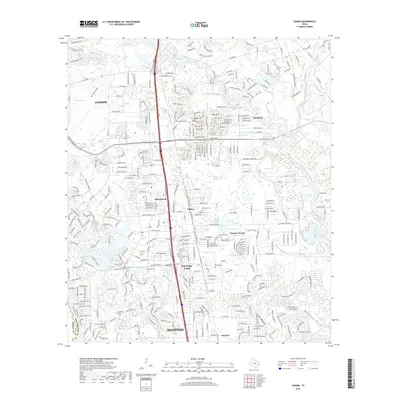
 - 2013 Map of Tamina, 2013 Print
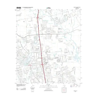 2013 Tamina2013 Print · USGSCovers River Plantation, including The Woodlands, Conroe, and other nearby areas
 - 2013 Map of Conroe, 2013 Print
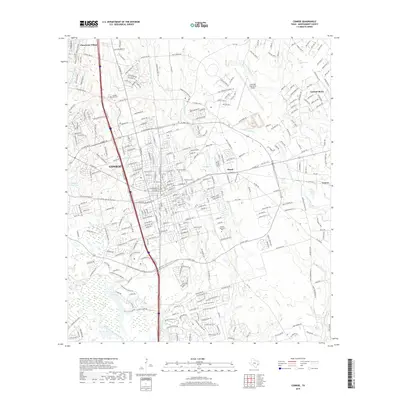
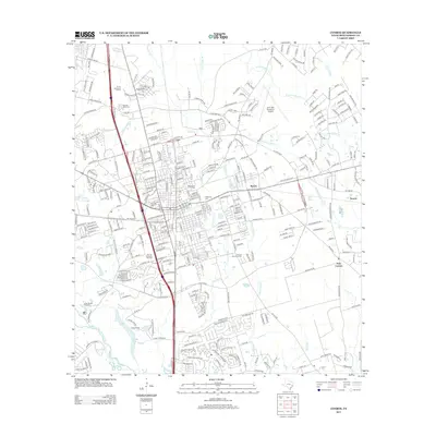 2013 Conroe2013 Print · USGSCovers River Plantation, including Conroe, Panorama Village, and other nearby areas
 - 2016 Map of Conroe, 2016 Print
 2016 Conroe2016 Print · USGSCovers River Plantation, including Conroe, Panorama Village, and other nearby areas
 - 2016 Map of Tamina, 2016 Print
 2016 Tamina2016 Print · USGSCovers River Plantation, including The Woodlands, Conroe, and other nearby areas
 - 2019 Map of Conroe, 2019 Print
 2019 Conroe2019 Print · USGSCovers River Plantation, including Conroe, Panorama Village, and other nearby areas
 - 2019 Map of Tamina, 2019 Print
 2019 Tamina2019 Print · USGSCovers River Plantation, including The Woodlands, Conroe, and other nearby areas
 - 2022 Map of Conroe, 2022 Print
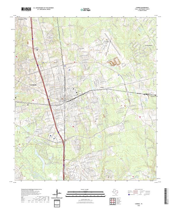 2022 Conroe2022 Print · USGSMontgomery County is shown in detail during the early 2020s, centered on the growing hub of Conroe. Genealogists can locate family sites at Oakwood Cem and Jones Cem or trace the civic center near the Montgomery County Courthouse.
 - 2022 Map of Tamina, 2022 Print
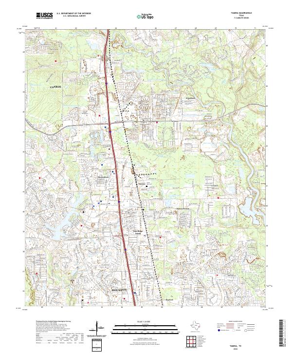 2022 Tamina2022 Print · USGSMontgomery County’s rapid transformation is on full display here in the early 2020s as residential growth surrounds established communities. Researchers can trace local heritage at Tamina, the Sweet Rest Cem, and the West Fork San Jacinto River valley.
End of results
Showing maps 1-10 of 10
Top cities near River Plantation
- Houston historical maps
- The Woodlands historical maps
- Conroe historical maps
- Spring historical maps
- Humble historical maps
- Tomball historical maps
See more
Frequently asked questions
- What are the different types of historical maps available for River Plantation?
- What is the oldest map of River Plantation?
- Where can I purchase historical maps of River Plantation for my home or office?
- Where can I download high-res historical maps of River Plantation?
- Are there historical topographic maps available for River Plantation?
- Is there historical aerial imagery available for River Plantation?
- Where are historical maps of River Plantation sourced from?