Old Maps of Perryton, Texas for Genealogy
Trace your family roots with 21 historic maps of Perryton. These high-res maps reveal old neighborhoods, homesites, landmarks, and streets — helping you uncover where your ancestors lived and how the area evolved over time.
- Explore historic neighborhoods: Identify where your relatives may have lived in the 1800s or 1900s.
- Compare maps over time: Trace the changes in streets, buildings, and landmarks for multi-generational research.
- Perfect for genealogy & ancestry research: Used by family historians and researchers to map out lineage and migration.
These maps are an incredible resource for exploring your personal connection to Perryton's past.
Perryton, TX maps
(21)- 1954 Map of Perryton, 1966 Print
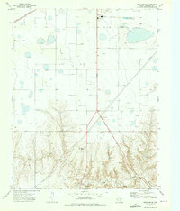
 1954 Perryton1966 Print · USGSThe High Plains of the Texas and Oklahoma panhandles are shown during a period of steady growth in the mid-1950s. Genealogists and researchers can trace rail history and local landmarks like Panhandle A & M College, Spurlock Chapel, and the isolated Lord Station.3 unique versions available
 - 1958 Map of Perryton
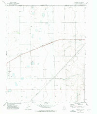
 1958 Perryton1958 Print · USGSThe Oklahoma Panhandle and Texas borderlands come alive in this mid-century survey, showing the vital rail-and-ranch economy of the High Plains. Researchers can trace historic stops along the Chicago Rock Island and Pacific and locate rural landmarks like Bethel Church and Spurlock Chapel.
 - 1973 Map of Perryton SE, 1976 Print
 1973 Perryton SE1976 Print · USGSThe Texas Panhandle south of Perryton is captured in the early 1970s as an active hub of petroleum production and cattle country. Researchers can locate the Ochiltree Cemetery and trace the original Atchison Topeka and Santa Fe rail line.
 - 1973 Map of Perryton, 1976 Print
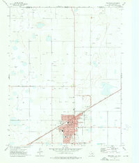 1973 Perryton1976 Print · USGSPerryton served as a vital Texas Panhandle rail and energy hub during the early seventies, positioned just south of the Oklahoma border. Researchers can trace the town's mid-century footprint through the Atchison Topeka and Santa Fe rail line, local schools like Central Jr High Sch, and the vintage Drive-in Theater.
 - 1973 Map of Huntoon, 1976 Print
 1973 Huntoon1976 Print · USGSThe High Plains of Ochiltree County come alive in the early 1970s as a hub of energy and rail transport. Researchers can trace the Atchison Topeka and Santa Fe rail line through Twichell and Huntoon alongside numerous oil wells and pipelines.
 - 1986 Map of Perryton
 1986 Perryton1986 Print · USGSThe High Plains and canyon breaks of the Texas Panhandle are captured here in the mid-eighties, showing the region's vital energy and rail corridors. Trace the path of the Atchison Topeka and Santa Fe through Perryton and Booker or locate remote rural outposts like Lipscomb and Higgins.
 - 2010 Map of Perryton SE, 2010 Print
 2010 Perryton SE2010 Print · USGSCovers Perryton, including Ochiltree County, United States, and other nearby areas
 - 2010 Map of Perryton, 2010 Print
 2010 Perryton2010 Print · USGSCovers Perryton, including Beaver County, Ochiltree County, and other nearby areas
 - 2010 Map of Huntoon, 2010 Print
 2010 Huntoon2010 Print · USGSCovers Perryton, including Twichell, Huntoon, and other nearby areas
 - 2012 Map of Perryton SE, 2012 Print
 2012 Perryton SE2012 Print · USGSCovers Perryton, including Ochiltree County, United States, and other nearby areas
 - 2012 Map of Perryton, 2012 Print
 2012 Perryton2012 Print · USGSCovers Perryton, including Beaver County, Ochiltree County, and other nearby areas
 - 2012 Map of Huntoon, 2012 Print
 2012 Huntoon2012 Print · USGSCovers Perryton, including Twichell, Huntoon, and other nearby areas
 - 2016 Map of Huntoon, 2016 Print
 2016 Huntoon2016 Print · USGSCovers Perryton, including Twichell, Huntoon, and other nearby areas
 - 2016 Map of Perryton SE, 2016 Print
 2016 Perryton SE2016 Print · USGSCovers Perryton, including Ochiltree County, United States, and other nearby areas
 - 2016 Map of Perryton, 2016 Print
 2016 Perryton2016 Print · USGSCovers Perryton, including Beaver County, Ochiltree County, and other nearby areas
 - 2019 Map of Huntoon, 2019 Print
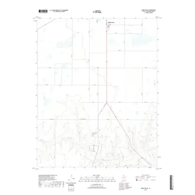
 2019 Huntoon2019 Print · USGSCovers Perryton, including Twichell, Huntoon, and other nearby areas
 - 2019 Map of Perryton SE, 2019 Print
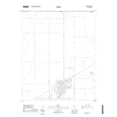
 2019 Perryton SE2019 Print · USGSCovers Perryton, including Ochiltree County, United States, and other nearby areas
 - 2019 Map of Perryton, 2019 Print
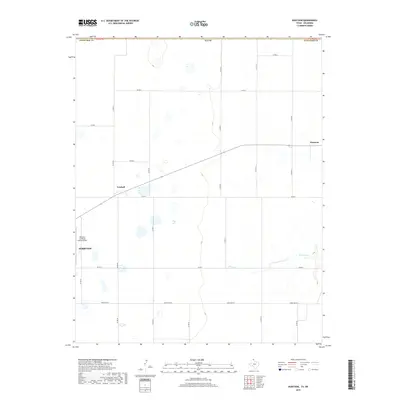
 2019 Perryton2019 Print · USGSCovers Perryton, including Beaver County, Ochiltree County, and other nearby areas
 - 2022 Map of Perryton, 2022 Print
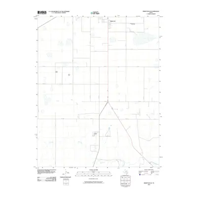
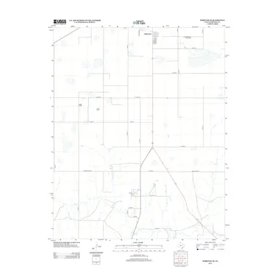
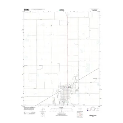
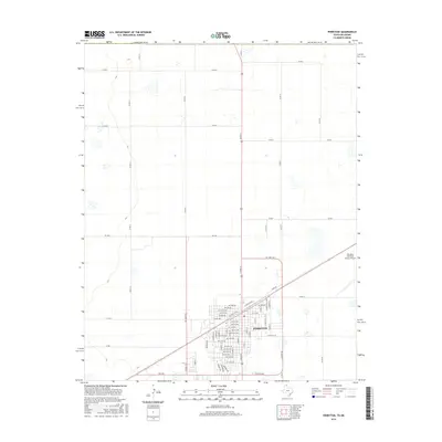
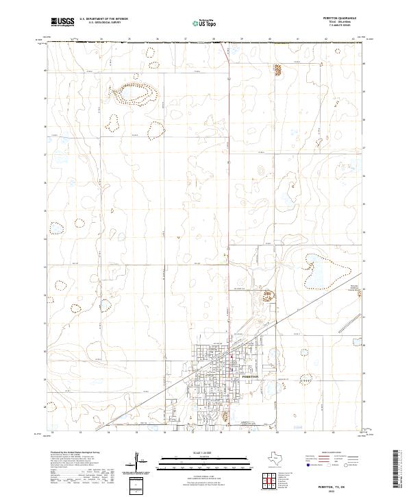 2022 Perryton2022 Print · USGSPerryton serves as a key agricultural and civic hub in the Texas Panhandle during the early twenty-first century. Researchers can trace the development of the city grid around the Ochiltree County Courthouse and the Perryton Ochiltree County Airport.
 - 2022 Map of Perryton SE, 2022 Print
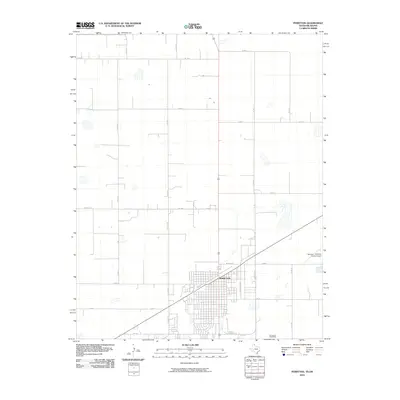
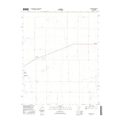
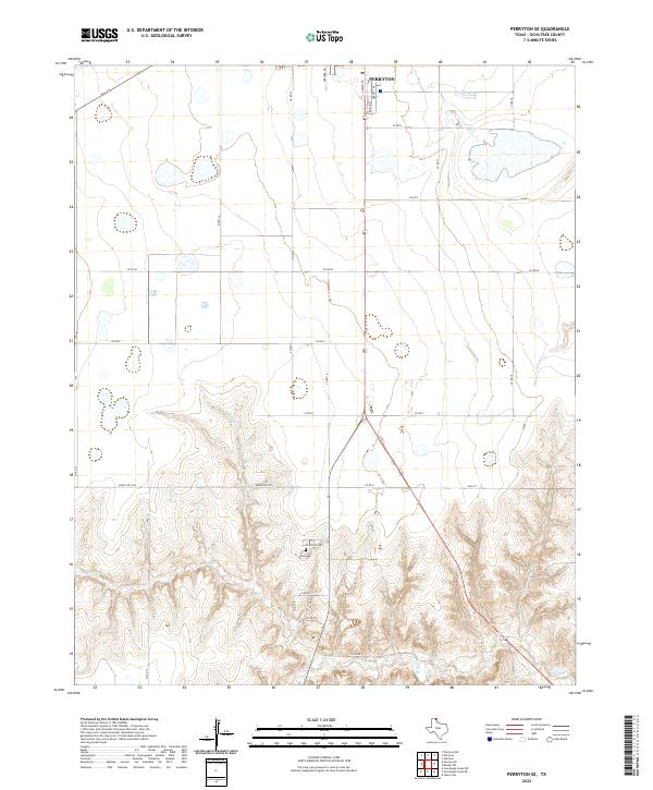 2022 Perryton SE2022 Print · USGSOchiltree County is shown here in the contemporary era, where the southern expansion of the county seat meets the breaks of the High Plains. Genealogists and local historians can locate Ochiltree Cem and trace the drainage of Wolf Cr south of Perryton.
 - 2022 Map of Huntoon, 2022 Print
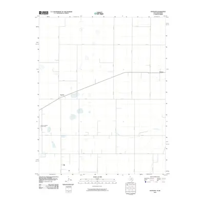
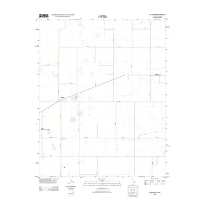
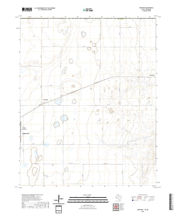 2022 Huntoon2022 Print · USGSThe High Plains of the Texas Panhandle are captured here in the early 2020s, centered on the ranching and agricultural lands of Ochiltree County. Genealogists and local historians can trace the road network around Perryton, from the remote grain stops of Huntoon and Twichell to the banks of Kiowa Cr.
End of results
Showing maps 1-21 of 21
Frequently asked questions
- What are the different types of historical maps available for Perryton?
- What is the oldest map of Perryton?
- Where can I purchase historical maps of Perryton for my home or office?
- Where can I download high-res historical maps of Perryton?
- Are there historical topographic maps available for Perryton?
- Is there historical aerial imagery available for Perryton?
- Where are historical maps of Perryton sourced from?