2020s Maps of Vega, Texas
Explore 2 historic maps of Vega from the 2020s. These maps offer a rare glimpse into what life looked like during the 2020s — showing old roads, neighborhoods, homes, and landmarks that have changed or disappeared over time.
Whether you're researching your family's past, planning a metal detecting trip, or studying how Vega's landscape evolved across the 2020s, these high-resolution maps are a powerful tool for exploring the history of this region.
- Focus on a specific era: All maps on this page are from the 2020s, giving you a focused view of this time period.
- See what’s changed: Compare century-old streets, trails, and buildings to today's modern landscape using overlays and satellite layers.
- Research with precision: Use these maps for genealogy, historical research, land use analysis, or educational projects.
- View, download, or print: Maps are fully viewable online in high resolution, and can be downloaded or printed for your own records.
Start exploring Vega's history through authentic maps from the 2020s. This is your window into the past.
Vega, TX maps
(2)- 2022 Map of Vega North, 2022 Print
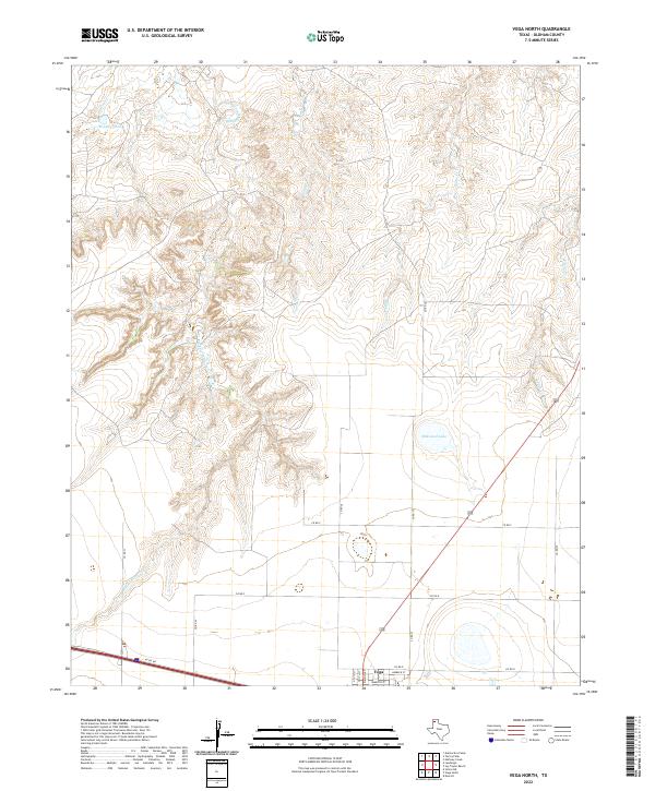 2022 Vega North2022 Print · USGSThe high plains of Oldham County meet the northern outskirts of Vega in this contemporary survey of the Panhandle. Trace the transition from town streets to the rugged drainages of Middle Alamosa Cr, Billys Cr, and Milkweed Lake.
 - 2022 Map of Vega South, 2022 Print
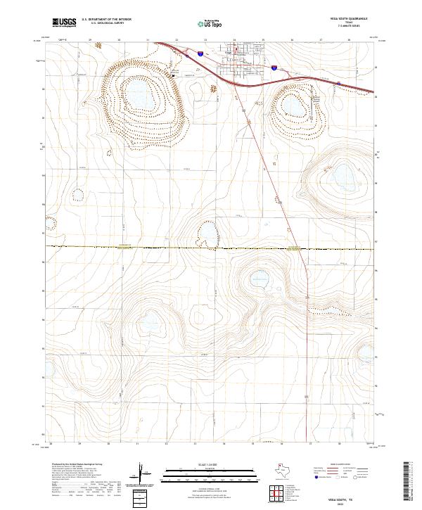 2022 Vega South2022 Print · USGSThe Texas Panhandle's open plains meet the local seat of government in this recent study of the High Plains landscape. Researchers can locate the Oldham County Courthouse, Memorial Park Cem, and the waters of Dodson Lake.
End of results
Showing maps 1-2 of 2
Frequently asked questions
- What are the different types of historical maps available for Vega?
- What is the oldest map of Vega?
- Where can I purchase historical maps of Vega for my home or office?
- Where can I download high-res historical maps of Vega?
- Are there historical topographic maps available for Vega?
- Is there historical aerial imagery available for Vega?
- Where are historical maps of Vega sourced from?