Old Maps of Vega, Texas for Academic Research
Study the evolution of Vega with 15 high-resolution historic maps. Whether you're teaching, researching, or modeling changes in land use, these maps provide essential visual documentation of urban, environmental, and geographic change.
- Analyze long-term change: Track patterns in development, transportation, and natural features.
- Ideal for environmental or urban studies: Support academic projects with primary historical map data.
- Use in the classroom or lab: Educators and researchers rely on these maps to bring historical context to life.
These maps are a powerful tool for teaching, research, and visualizing how Vega has changed over the decades.
Vega, TX maps
(15)- 1954 Map of Tucumcari, 1965 Print
 1954 Tucumcari1965 Print · USGSThe high plains along the New Mexico and Texas border come alive in this mid-century survey, just as the regional highway network was maturing. Trace the historic route of U.S. 66 through Glenrio and San Jon or locate remote rail sidings like Rehm Station and Obar.2 unique versions available
 - 1958 Map of Tucumcari
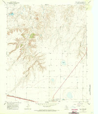
 1958 Tucumcari1958 Print · USGSEastern New Mexico and the Texas Panhandle meet in this mid-century survey of the high plains ranching and rail corridor. Researchers can trace the path of Mother Road travelers through Tucumcari and Glenrio or locate remote rail stops like Nara Visa Station and Hartley Station.
 - 1966 Map of Vega South, 1969 Print
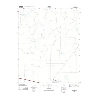
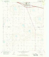 1966 Vega South1969 Print · USGSThe High Plains of the Texas Panhandle come into focus in the mid-1960s, showing the intersection of ranching life and rail transport. Genealogists and researchers can trace local landmarks like Memorial Park (Cem), the High Sch in Vega, and the waters of Dodson Lake.
 - 1966 Map of Vega North, 1970 Print
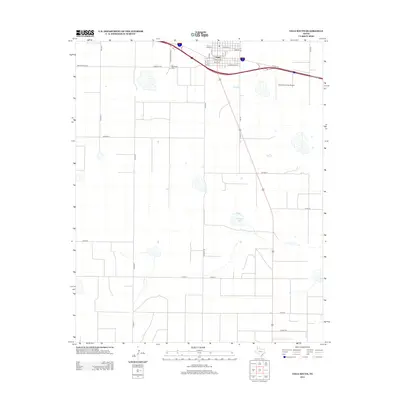
 1966 Vega North1970 Print · USGSTexas Panhandle ranching and transit converge in the 1960s as the storied Route 66 passes through the town of Vega. Genealogists and historians can trace the Chicago Rock Island and Pacific rail line and local landmarks like Milkweed Lake or the High Sch.
 - 1985 Map of Vega, 1986 Print
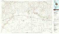 1985 Vega1986 Print · USGSThe Texas Panhandle is captured in the mid-eighties as the cattle and rail economy shaped the landscape from the Canadian River breaks to the southern plains. Researchers can trace the Atchison Topeka and Santa Fe line through Vega and Wildorado or locate landmarks like the Old Railroad Grade and Bivins Lake.2 unique versions available
 - 2010 Map of Vega South, 2010 Print
 2010 Vega South2010 Print · USGSCovers Vega, including Deaf Smith County, Oldham County, and other nearby areas
 - 2010 Map of Vega North, 2010 Print
 2010 Vega North2010 Print · USGSCovers Vega, including Oldham County, United States, and other nearby areas
 - 2012 Map of Vega South, 2012 Print
 2012 Vega South2012 Print · USGSCovers Vega, including Deaf Smith County, Oldham County, and other nearby areas
 - 2012 Map of Vega North, 2012 Print
 2012 Vega North2012 Print · USGSCovers Vega, including Oldham County, United States, and other nearby areas
 - 2016 Map of Vega South, 2016 Print
 2016 Vega South2016 Print · USGSCovers Vega, including Deaf Smith County, Oldham County, and other nearby areas
 - 2016 Map of Vega North, 2016 Print
 2016 Vega North2016 Print · USGSCovers Vega, including Oldham County, United States, and other nearby areas
 - 2019 Map of Vega South, 2019 Print
 2019 Vega South2019 Print · USGSCovers Vega, including Deaf Smith County, Oldham County, and other nearby areas
 - 2019 Map of Vega North, 2019 Print
 2019 Vega North2019 Print · USGSCovers Vega, including Oldham County, United States, and other nearby areas
 - 2022 Map of Vega North, 2022 Print
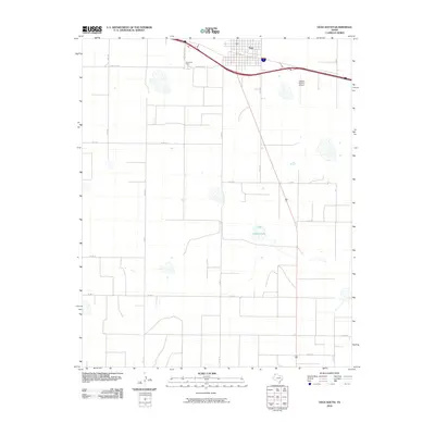
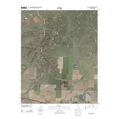
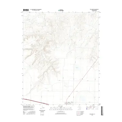
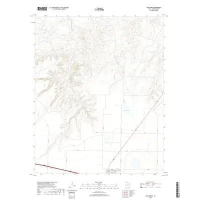
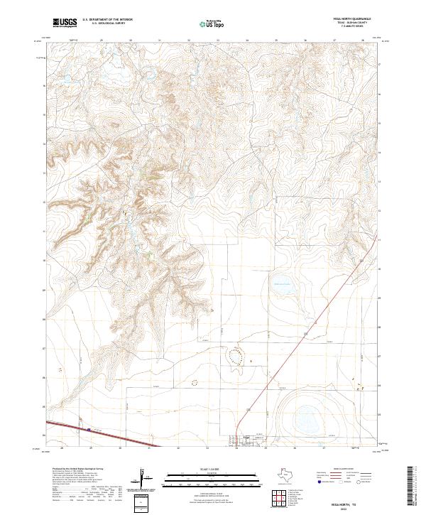 2022 Vega North2022 Print · USGSThe high plains of Oldham County meet the northern outskirts of Vega in this contemporary survey of the Panhandle. Trace the transition from town streets to the rugged drainages of Middle Alamosa Cr, Billys Cr, and Milkweed Lake.
 - 2022 Map of Vega South, 2022 Print
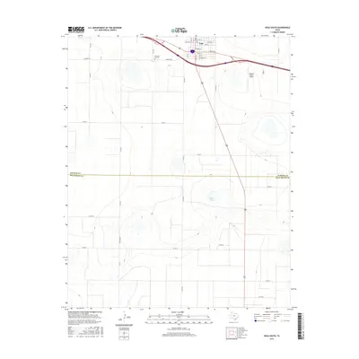
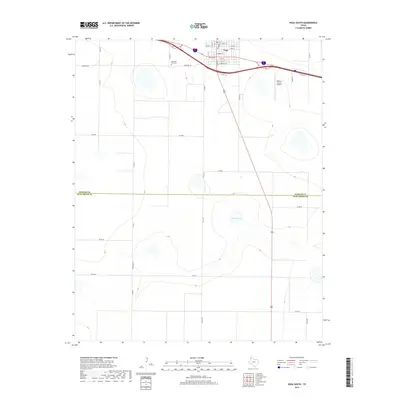
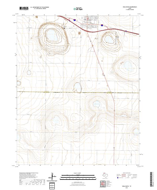 2022 Vega South2022 Print · USGSThe Texas Panhandle's open plains meet the local seat of government in this recent study of the High Plains landscape. Researchers can locate the Oldham County Courthouse, Memorial Park Cem, and the waters of Dodson Lake.
End of results
Showing maps 1-15 of 15
Frequently asked questions
- What are the different types of historical maps available for Vega?
- What is the oldest map of Vega?
- Where can I purchase historical maps of Vega for my home or office?
- Where can I download high-res historical maps of Vega?
- Are there historical topographic maps available for Vega?
- Is there historical aerial imagery available for Vega?
- Where are historical maps of Vega sourced from?