Old Maps of Metcalf Gap, Texas for Academic Research
Study the evolution of Metcalf Gap with 12 high-resolution historic maps. Whether you're teaching, researching, or modeling changes in land use, these maps provide essential visual documentation of urban, environmental, and geographic change.
- Analyze long-term change: Track patterns in development, transportation, and natural features.
- Ideal for environmental or urban studies: Support academic projects with primary historical map data.
- Use in the classroom or lab: Educators and researchers rely on these maps to bring historical context to life.
These maps are a powerful tool for teaching, research, and visualizing how Metcalf Gap has changed over the decades.
Metcalf Gap, TX maps
(12)- 1891 Map of Palo Pinto
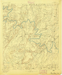 1891 Palo Pinto1891 Print · USGSNorth Texas in the late nineteenth century was a landscape of winding river bends and emerging coal towns. Genealogists and historians can trace early river crossings at Oaks Ferry, the path of the Texas and Pacific Railroad, and the Coal Mines at Coalville.7 unique versions available
 - 1918 Map of Palo Pinto
 1918 Palo Pinto1918 Print · USGSPalo Pinto County and the Brazos River valley appear here in the final year of the Great War, showing a landscape shaped by coal and steam. Genealogists and historians can locate defunct river crossings like Oaks Ferry, early rural education at Marsden School, and the extensive Coal Mines that once powered the regional economy.
 - 1954 Map of Abilene, 1966 Print
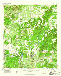
 1954 Abilene1966 Print · USGSThe Texas Big Country comes into focus in the mid-1950s as petroleum and new water projects reshape the landscape. Local historians can trace the Butterfield Trail, find the Fort Phantom Hill Ruins, and locate numerous small communities along the Texas & Pacific line.2 unique versions available
 - 1958 Map of Abilene
 1958 Abilene1958 Print · USGSMid-century West Texas comes alive in this survey of the Abilene and Stephenville region during a period of steady oil expansion and military growth. Genealogists and local historians can trace the paths of the Texas & Pacific RR through historic towns, locate the Fort Griffin Ruins, and find smaller settlements like Desdemona and Lueders.
 - 1959 Map of Gordon, 1960 Print
 1959 Gordon1960 Print · USGSThe Palo Pinto hills in the late fifties show a landscape defined by the Texas and Pacific railroad and active coal and oil extraction. Local researchers can trace the locations of family burial sites like Thurber Cem and landmarks like Metcalf Gap.2 unique versions available
 - 1984 Map of Metcalf Gap
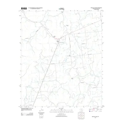
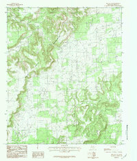 1984 Metcalf Gap1984 Print · USGSThe Palo Pinto hill country in the early eighties shows a landscape of dramatic breaks and high cattle country. Trace the rugged terrain through Metcalf Gap, the heights of Sugarloaf Mountain, and the drainages of Eagle Creek.
 - 1985 Map of Mineral Wells
 1985 Mineral Wells1985 Print · USGSNorth-central Texas in the mid-eighties shows a landscape of deep river valleys and massive reservoirs. Genealogists and historians can trace the Missouri Pacific rail line and locate rural settlements like Thurber, Necessity, and Palo Pinto.2 unique versions available
 - 2010 Map of Metcalf Gap, 2010 Print
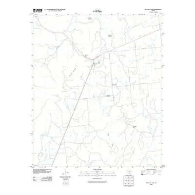 2010 Metcalf Gap2010 Print · USGSCovers Metcalf Gap, including Palo Pinto County, United States, and other nearby areas
 - 2012 Map of Metcalf Gap, 2012 Print
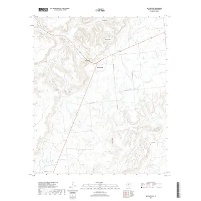
 2012 Metcalf Gap2012 Print · USGSCovers Metcalf Gap, including Palo Pinto County, United States, and other nearby areas
 - 2016 Map of Metcalf Gap, 2016 Print
 2016 Metcalf Gap2016 Print · USGSCovers Metcalf Gap, including Palo Pinto County, United States, and other nearby areas
 - 2019 Map of Metcalf Gap, 2019 Print
 2019 Metcalf Gap2019 Print · USGSCovers Metcalf Gap, including Palo Pinto County, United States, and other nearby areas
 - 2022 Map of Metcalf Gap, 2022 Print
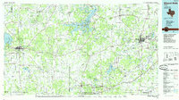
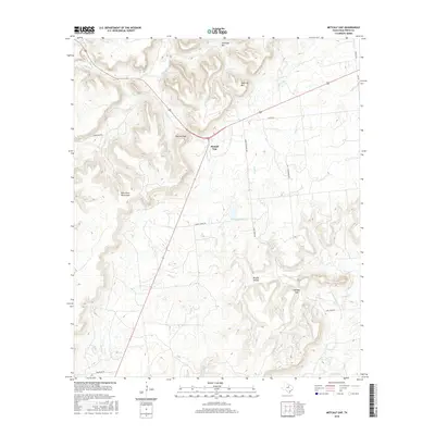
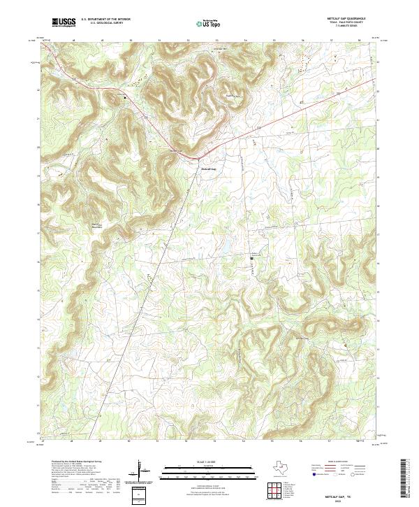 2022 Metcalf Gap2022 Print · USGSThe Palo Pinto Mountains and their rugged passes define this rural Texas landscape in the early twenty-first century. Genealogists and local historians can trace family locations near Brad Cem, Dodson Prairie Cem, and the strategic Metcalf Gap.
End of results
Showing maps 1-12 of 12
Top cities near Metcalf Gap
- Ranger historical maps
- Strawn historical maps
- Graford historical maps
- Gordon historical maps
- Palo Pinto historical maps
- Mingus historical maps
See more
Frequently asked questions
- What are the different types of historical maps available for Metcalf Gap?
- What is the oldest map of Metcalf Gap?
- Where can I purchase historical maps of Metcalf Gap for my home or office?
- Where can I download high-res historical maps of Metcalf Gap?
- Are there historical topographic maps available for Metcalf Gap?
- Is there historical aerial imagery available for Metcalf Gap?
- Where are historical maps of Metcalf Gap sourced from?