Old Maps of Midyett, Texas for Hiking & Exploration
Hike through history with 11 historic maps of Midyett. Explore old trails, ghost towns, and forgotten backroads — perfect for outdoor adventurers and local explorers.
- Rediscover forgotten places: Map out old mining camps, roads, and footpaths that no longer exist on modern maps.
- Layer with modern tools: Combine with LiDAR or satellite views to plan hikes through historical terrain.
- Made for exploration: Popular among hikers, overlanders, and local history lovers.
Use these maps to find adventure and explore the hidden past of Midyett.
Midyett, TX maps
(11)- 1945 Map of Socagee Bayou
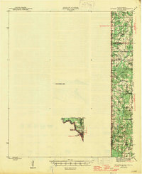 1945 Socagee Bayou1945 Print · USGSThe Texas-Louisiana borderlands come alive in the mid-1940s as the Sabine River winds past rural homesteads and timber tracks. Researchers can trace the foundations of local life through the Southern Pacific rail line at Logansport and historic sites like Hogeye Cem and Shiloh Sch.2 unique versions available
 - 1956 Map of Tyler
 1956 Tyler1956 Print · USGSEast Texas was a powerhouse of oil production and rail transport during the mid-fifties, centered on the sprawling East Texas Oil Field. Researchers can trace the heritage of industrial hubs like Kilgore, military sites such as the Longhorn Ordnance Works, and many rural landmarks like Mount Enterprise.5 unique versions available
 - 1956 Map of Deadwood, 1957 Print
 1956 Deadwood1957 Print · USGSThe Texas-Louisiana borderlands along the Sabine River are shown here in the mid-fifties as the Carthage Gas Field reshaped the local landscape. Genealogists can trace family roots through numerous rural landmarks, including the Centennial Cem, Shiloh Baptist Ch, and the settlement at Deadwood.4 unique versions available
 - 1983 Map of River Hill
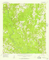
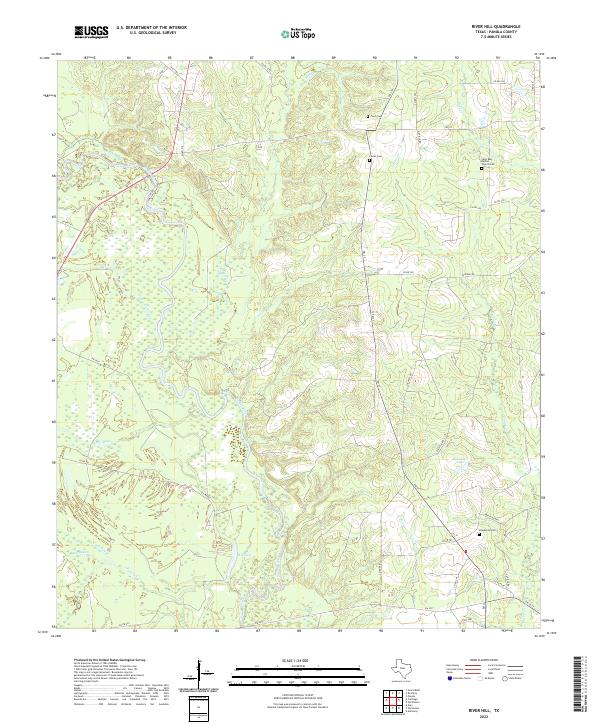
 1983 River Hill1983 Print · USGSPanola County river country is captured here in the early 1980s, centered on the winding Sabine River and its bottomland sloughs. Researchers can trace the rural communities of River Hill, Deadwood, and Midyett along with landmarks like the Lookout Tower.
 - 1984 Map of Tyler
 1984 Tyler1984 Print · USGSEast Texas at the peak of its reservoir-building era shows a landscape defined by new lakes and established rail corridors. Trace the path of the St Louis Southwestern RR or locate industrial sites like the Longhorn Ordnance Works.3 unique versions available
 - 1986 Map of Henderson
 1986 Henderson1986 Print · USGSEast Texas and the Louisiana borderlands come into focus in the 1980s as industrial energy production meets quiet rural townships. Researchers can trace family sites and local landmarks from Elysian Fields to Old Panola, alongside major features like the Strip Mine and Martin Lake State Park.2 unique versions available
 - 2010 Map of River Hill, 2010 Print
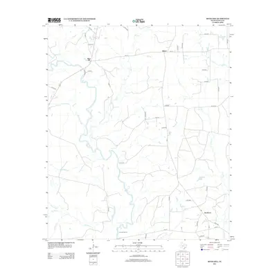
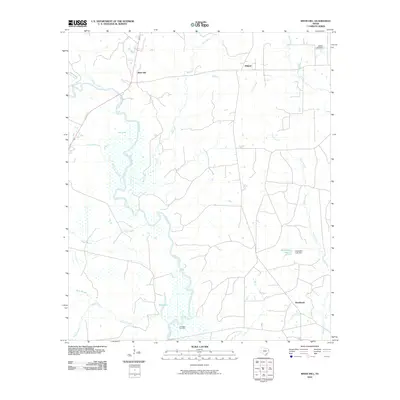 2010 River Hill2010 Print · USGSCovers Midyett, including Deadwood, River Hill, and other nearby areas
 - 2013 Map of River Hill, 2013 Print
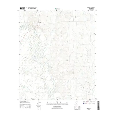
 2013 River Hill2013 Print · USGSCovers Midyett, including Deadwood, River Hill, and other nearby areas
 - 2016 Map of River Hill, 2016 Print
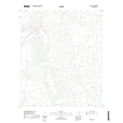
 2016 River Hill2016 Print · USGSCovers Midyett, including Deadwood, River Hill, and other nearby areas
 - 2019 Map of River Hill, 2019 Print
 2019 River Hill2019 Print · USGSCovers Midyett, including Deadwood, River Hill, and other nearby areas
 - 2022 Map of River Hill, 2022 Print
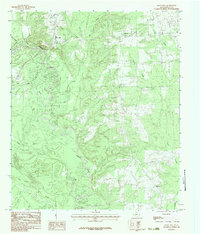
 2022 River Hill2022 Print · USGSPanola County's riverbottoms and rural cemeteries are documented here in the early twenty-first century as the landscape remains defined by the Sabine River. Genealogists and historians can trace local family landmarks such as Deadwood Cem, Furrch Cem, and the Saint Rest Baptist Church Cem.
End of results
Showing maps 1-11 of 11
Top cities near Midyett
- Shreveport historical maps
- Carthage historical maps
- Greenwood historical maps
- Longstreet historical maps
Frequently asked questions
- What are the different types of historical maps available for Midyett?
- What is the oldest map of Midyett?
- Where can I purchase historical maps of Midyett for my home or office?
- Where can I download high-res historical maps of Midyett?
- Are there historical topographic maps available for Midyett?
- Is there historical aerial imagery available for Midyett?
- Where are historical maps of Midyett sourced from?