Old Maps of Lazbuddie, Texas for Academic Research
Study the evolution of Lazbuddie with 9 high-resolution historic maps. Whether you're teaching, researching, or modeling changes in land use, these maps provide essential visual documentation of urban, environmental, and geographic change.
- Analyze long-term change: Track patterns in development, transportation, and natural features.
- Ideal for environmental or urban studies: Support academic projects with primary historical map data.
- Use in the classroom or lab: Educators and researchers rely on these maps to bring historical context to life.
These maps are a powerful tool for teaching, research, and visualizing how Lazbuddie has changed over the decades.
Lazbuddie, TX maps
(9)- 1954 Map of Clovis, 1966 Print
 1954 Clovis1966 Print · USGSThe High Plains of the Texas-New Mexico borderland come alive in this mid-century survey as the region's agricultural and rail networks reached their peak. Trace family roots and local history through features like Cannon AFB, the massive Sand Hills, and busy rail towns such as Friona and Littlefield.4 unique versions available
 - 1958 Map of Clovis
 1958 Clovis1958 Print · USGSThe High Plains of the New Mexico-Texas borderlands are captured here in the late fifties, during a period of significant military and agricultural expansion. Genealogists and historians can trace the rail-side growth of Clovis, the operations at Clovis Air Force Base, and the rural layout of communities like Muleshoe and Hereford.
 - 1963 Map of Lazbuddie, 1965 Print
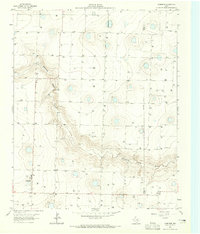 1963 Lazbuddie1965 Print · USGSParmer County at the start of the 1960s shows a landscape transformed by intensive irrigation and the growth of High Plains agriculture. Researchers can trace local landmarks like Lazbuddie Cem, the Athletic Field, and the winding Running Water Draw.2 unique versions available
 - 1985 Map of Muleshoe
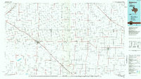 1985 Muleshoe1985 Print · USGSThe High Plains of the Texas Panhandle in the mid-eighties show a landscape defined by industrial agriculture and rail. Genealogists and local historians can trace family roots through rural communities like Lazbuddie, Sudan, and the uniquely named town of Earth.2 unique versions available
 - 2010 Map of Lazbuddie, 2010 Print
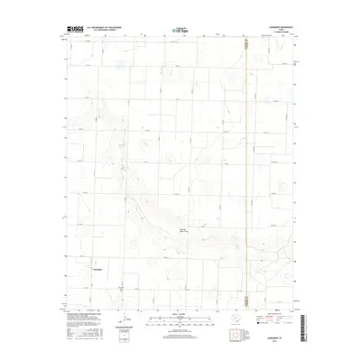
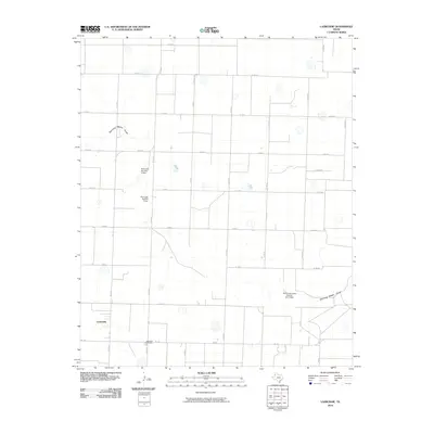 2010 Lazbuddie2010 Print · USGSCovers Lazbuddie, including Parmer County, Castro County, and other nearby areas
 - 2012 Map of Lazbuddie, 2012 Print
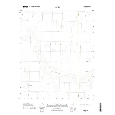
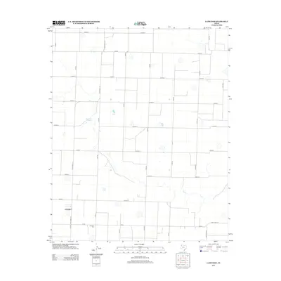 2012 Lazbuddie2012 Print · USGSCovers Lazbuddie, including Parmer County, Castro County, and other nearby areas
 - 2016 Map of Lazbuddie, 2016 Print
 2016 Lazbuddie2016 Print · USGSCovers Lazbuddie, including Parmer County, Castro County, and other nearby areas
 - 2019 Map of Lazbuddie, 2019 Print
 2019 Lazbuddie2019 Print · USGSCovers Lazbuddie, including Parmer County, Castro County, and other nearby areas
 - 2022 Map of Lazbuddie, 2022 Print
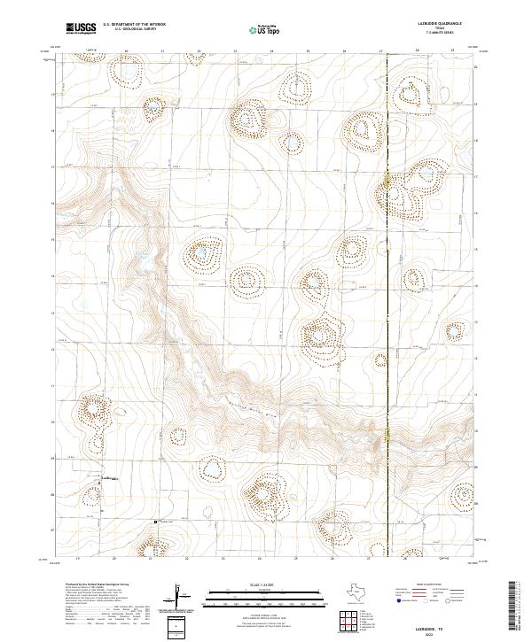 2022 Lazbuddie2022 Print · USGSThe Texas Panhandle community of Lazbuddie is captured in this recent survey, showcasing a landscape of high-plains agriculture and seasonal drainages. Researchers can locate the Lazbuddie Cem and trace the winding path of Running Water Draw.
End of results
Showing maps 1-9 of 9
Top cities near Lazbuddie
Frequently asked questions
- What are the different types of historical maps available for Lazbuddie?
- What is the oldest map of Lazbuddie?
- Where can I purchase historical maps of Lazbuddie for my home or office?
- Where can I download high-res historical maps of Lazbuddie?
- Are there historical topographic maps available for Lazbuddie?
- Is there historical aerial imagery available for Lazbuddie?
- Where are historical maps of Lazbuddie sourced from?