Old Maps of Baldridge, Texas for Hiking & Exploration
Hike through history with 9 historic maps of Baldridge. Explore old trails, ghost towns, and forgotten backroads — perfect for outdoor adventurers and local explorers.
- Rediscover forgotten places: Map out old mining camps, roads, and footpaths that no longer exist on modern maps.
- Layer with modern tools: Combine with LiDAR or satellite views to plan hikes through historical terrain.
- Made for exploration: Popular among hikers, overlanders, and local history lovers.
Use these maps to find adventure and explore the hidden past of Baldridge.
Baldridge, TX maps
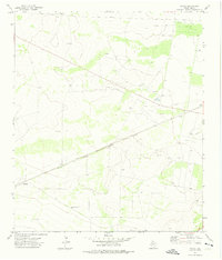
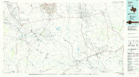
(9)- 1954 Map of Pecos, 1964 Print
 1954 Pecos1964 Print · USGSMid-century West Texas reveals a landscape of expanding oil fields and cattle ranching along the winding Pecos River. Local historians can trace family ranch lands like Goodrich Ranch, follow the Texas and Pacific rails, or locate the historic Horsehead Crossing.3 unique versions available
 - 1957 Map of Pecos
 1957 Pecos1957 Print · USGSWest Texas in the mid-fifties is a landscape of desert oil fields and vital rail corridors. Researchers can trace the sprawling Pyote Air Force Base, the historic Horsehead Crossing, and the rail stops at Mentone and Saragosa.
 - 1972 Map of Owego, 1975 Print
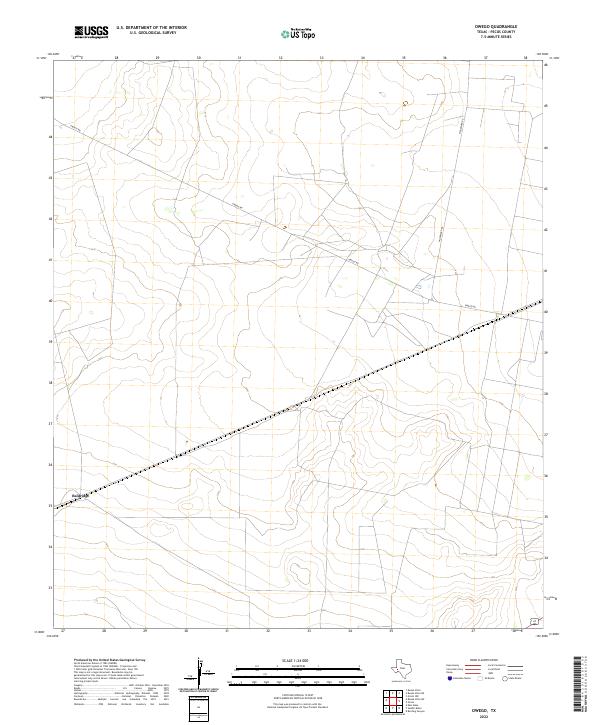
 1972 Owego1975 Print · USGSWest Texas energy production and rail transit meet in the early seventies along the Atchison Topeka and Santa Fe line. Researchers can locate remote settlements like Owego and Baldridge or trace the extent of the Sun Valley Oil Field.
 - 1986 Map of Crane
 1986 Crane1986 Print · USGSThe Permian Basin oil economy is on full display in the mid-eighties, showing a landscape defined by massive production fields and small company towns. Researchers can trace the infrastructure of the Mc Elroy Oil Field and Abell Oil and Gas Field or locate landmarks like Castle Mountain and Juan Cordona Lake.3 unique versions available
 - 2010 Map of Owego, 2010 Print
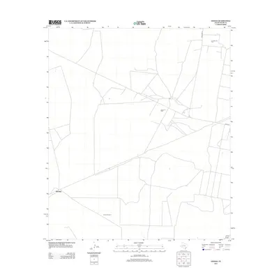
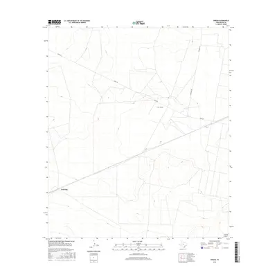
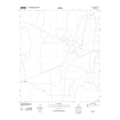 2010 Owego2010 Print · USGSCovers Baldridge, including Pecos County, United States, and other nearby areas
 - 2012 Map of Owego, 2012 Print
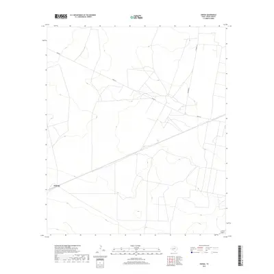
 2012 Owego2012 Print · USGSCovers Baldridge, including Pecos County, United States, and other nearby areas
 - 2016 Map of Owego, 2016 Print
 2016 Owego2016 Print · USGSCovers Baldridge, including Pecos County, United States, and other nearby areas
 - 2019 Map of Owego, 2019 Print
 2019 Owego2019 Print · USGSCovers Baldridge, including Pecos County, United States, and other nearby areas
 - 2022 Map of Owego, 2022 Print
 2022 Owego2022 Print · USGSPecos County's arid high-desert landscape is captured here in the early twenty-first century, showing the remote settlement patterns of West Texas. Researchers can locate the site of Baldridge and trace the paths of Owego Rd and Woodward Rd.
End of results
Showing maps 1-9 of 9
Top cities near Baldridge
Frequently asked questions
- What are the different types of historical maps available for Baldridge?
- What is the oldest map of Baldridge?
- Where can I purchase historical maps of Baldridge for my home or office?
- Where can I download high-res historical maps of Baldridge?
- Are there historical topographic maps available for Baldridge?
- Is there historical aerial imagery available for Baldridge?
- Where are historical maps of Baldridge sourced from?