Old Maps of Longfellow, Texas for Hiking & Exploration
Hike through history with 11 historic maps of Longfellow. Explore old trails, ghost towns, and forgotten backroads — perfect for outdoor adventurers and local explorers.
- Rediscover forgotten places: Map out old mining camps, roads, and footpaths that no longer exist on modern maps.
- Layer with modern tools: Combine with LiDAR or satellite views to plan hikes through historical terrain.
- Made for exploration: Popular among hikers, overlanders, and local history lovers.
Use these maps to find adventure and explore the hidden past of Longfellow.
Longfellow, TX maps
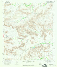
(11)- 1920 Map of Longfellow
 1920 Longfellow1920 Print · USGSRailroad outposts and high desert terrain define this West Texas survey from the early twentieth century. Genealogists and historians can trace the Southern Pacific line through stops like Purrington, Tesnus, and Rosenfeld, along with landmarks like the Pittsburg Boring.
 - 1954 Map of Fort Stockton, 1965 Print
 1954 Fort Stockton1965 Print · USGSWest Texas ranching and the early energy industry converge in this mid-century survey of the Trans-Pecos. Genealogists and historians can locate specific family lands like Graef Brothers Ranch and trace the paths of the Old Spanish Trail and the Southern Pacific railroad.3 unique versions available
 - 1958 Map of Fort Stockton
 1958 Fort Stockton1958 Print · USGSThe Trans-Pecos region of West Texas in the late fifties is a landscape of vast mesas and isolated ranching hubs. Genealogists and historians can trace the paths of the Texas and New Orleans RR through Alpine or locate early settlements like Bakersfield and Sanderson.
 - 1968 Map of Longfellow, 1971 Print
 1968 Longfellow1971 Print · USGSThe high desert of Pecos and Brewster County is captured in the late sixties as the railroad era meets modern ranching. Trace the Southern Pacific line past Longfellow and locate family-named landmarks like Steer Wells and Panther Peak.
 - 1973 Map of Fort Stockton, 1974 Print
 1973 Fort Stockton1974 Print · USGSThe Trans-Pecos region of West Texas comes alive in the early seventies, from the desert flats of the Stockton Plateau to the heights of the Davis Mountains. Researchers can trace the legacy of frontier outposts and rail lines through Fort Davis Nat Hist Site, Alpine, and the Southern Pacific RR.
 - 1985 Map of Sanderson
 1985 Sanderson1985 Print · USGSWest Texas ranching and railroading are captured here in the mid-eighties as the Southern Pacific traverses the Trans-Pecos. Researchers can trace the layout of Sanderson and find isolated sites like Dryden, Tesnus, and the Glass Mountains.2 unique versions available
 - 2010 Map of Longfellow, 2010 Print
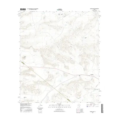
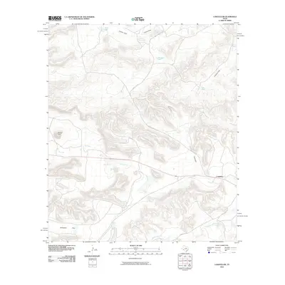 2010 Longfellow2010 Print · USGSCovers Longfellow, including Pecos County, Brewster County, and other nearby areas
 - 2012 Map of Longfellow, 2012 Print
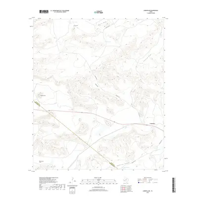
 2012 Longfellow2012 Print · USGSCovers Longfellow, including Pecos County, Brewster County, and other nearby areas
 - 2016 Map of Longfellow, 2016 Print
 2016 Longfellow2016 Print · USGSCovers Longfellow, including Pecos County, Brewster County, and other nearby areas
 - 2019 Map of Longfellow, 2019 Print
 2019 Longfellow2019 Print · USGSCovers Longfellow, including Pecos County, Brewster County, and other nearby areas
 - 2022 Map of Longfellow, 2022 Print
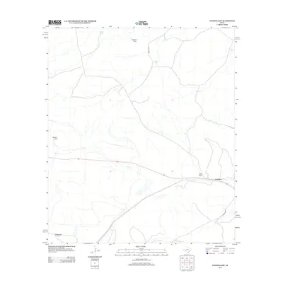
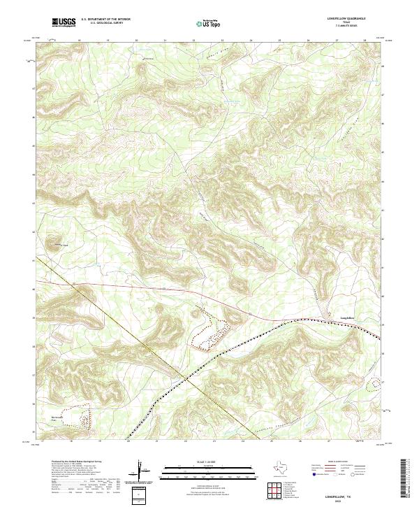 2022 Longfellow2022 Print · USGSPecos and Brewster Counties appear here in the modern era, showing the arid high-desert landscape of West Texas. Researchers can trace remote ranching features like Haystack Tank, the isolated settlement of Longfellow, and natural landmarks such as Panther Peak.
End of results
Showing maps 1-11 of 11
Frequently asked questions
- What are the different types of historical maps available for Longfellow?
- What is the oldest map of Longfellow?
- Where can I purchase historical maps of Longfellow for my home or office?
- Where can I download high-res historical maps of Longfellow?
- Are there historical topographic maps available for Longfellow?
- Is there historical aerial imagery available for Longfellow?
- Where are historical maps of Longfellow sourced from?