Old Maps of Papalotito Colorado, Texas for Genealogy
Trace your family roots with 11 historic maps of Papalotito Colorado. These high-res maps reveal old neighborhoods, homesites, landmarks, and streets — helping you uncover where your ancestors lived and how the area evolved over time.
- Explore historic neighborhoods: Identify where your relatives may have lived in the 1800s or 1900s.
- Compare maps over time: Trace the changes in streets, buildings, and landmarks for multi-generational research.
- Perfect for genealogy & ancestry research: Used by family historians and researchers to map out lineage and migration.
These maps are an incredible resource for exploring your personal connection to Papalotito Colorado's past.
Papalotito Colorado, TX maps
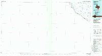
(11)- 1896 Map of Polvo
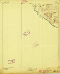 1896 Polvo1896 Print · USGSThe Big Bend river frontier comes into focus during the mid-1890s, when isolated ranching outposts were the only signs of settlement. Trace family history at Polvo or follow the early livestock trails through Bofecillos Canyon and past Burros Ranch.4 unique versions available
 - 1959 Map of Presidio, 1969 Print
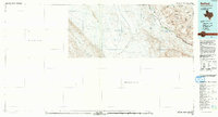
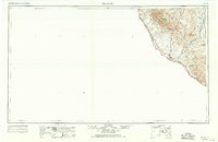 1959 Presidio1969 Print · USGSThe Texas-Mexico borderlands come into focus in the late fifties, showing a landscape defined by the Rio Grande and remote mining outposts. Researchers can trace the Atchison Topeka and Santa Fe rail line or locate historic sites like Old Fort Leaton (ruins) and the Shafter Mine.2 unique versions available
 - 1965 Map of Presidio
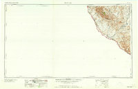 1965 Presidio1965 Print · USGSThe Big Bend borderlands appear in the mid-sixties as a rugged landscape of high-altitude ranching and retired mines. Trace the river road to the Old Fort Leaton ruins or locate family landmarks like Alamo Ranch and the Shafter Mine.
 - 1971 Map of Agua Adentro Mountain, 1974 Print
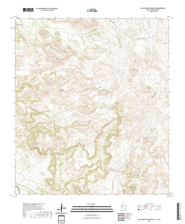
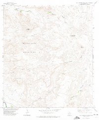 1971 Agua Adentro Mountain1974 Print · USGSThe high desert of Presidio County is shown in the early 1970s, a land of deep canyons and essential water holes. Researchers can trace remote ranching infrastructure like Alamito Dam and Corral, or locate springs such as Rancherias Spring and Oso Spring.2 unique versions available
 - 1985 Map of Redford
 1985 Redford1985 Print · USGSThe West Texas borderlands in the 1980s are shown in detail as they follow the winding path of the river. Genealogists and historians can trace the remote settlement of Redford and find essential water sources like Rancho Viejo Spring and Otto Spring among the desert canyons.
 - 1992 Map of Redford, 1993 Print
 1992 Redford1993 Print · USGSThe borderlands of Presidio County meet the Rio Grande in the early nineties, where the settlement of Redford anchors a landscape of canyons and arroyos. Researchers can trace the desert hydrology of Arroyo Rancherias and the heights of the Bofecillos Mountains.
 - 2010 Map of Agua Adentro Mountain, 2010 Print
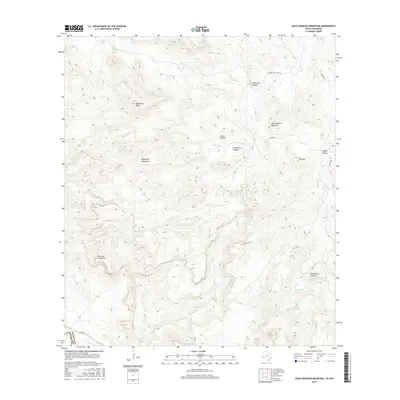
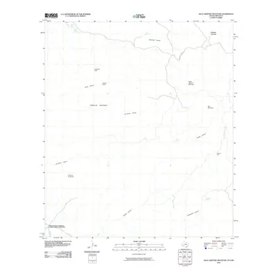 2010 Agua Adentro Mountain2010 Print · USGSCovers Papalotito Colorado, including Ojinaga, Presidio County, and other nearby areas
 - 2013 Map of Agua Adentro Mountain, 2013 Print
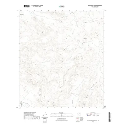
 2013 Agua Adentro Mountain2013 Print · USGSCovers Papalotito Colorado, including Ojinaga, Presidio County, and other nearby areas
 - 2016 Map of Agua Adentro Mountain, 2016 Print
 2016 Agua Adentro Mountain2016 Print · USGSCovers Papalotito Colorado, including Ojinaga, Presidio County, and other nearby areas
 - 2019 Map of Agua Adentro Mountain, 2019 Print
 2019 Agua Adentro Mountain2019 Print · USGSCovers Papalotito Colorado, including Ojinaga, Presidio County, and other nearby areas
 - 2022 Map of Agua Adentro Mountain, 2022 Print
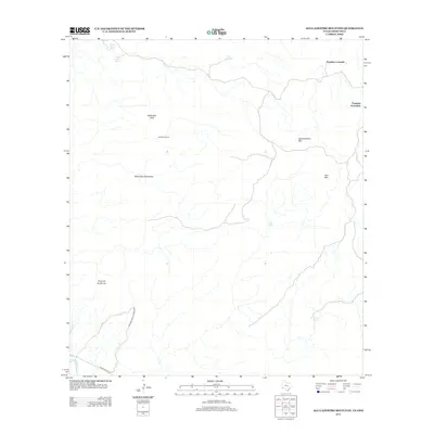
 2022 Agua Adentro Mountain2022 Print · USGSHigh-desert terrain in the Bofecillos Mountains is captured here just as modern conservation efforts have preserved its backcountry character. Researchers can trace historic water sources like Agua Adentro Spring and primitive routes such as the Ojito Adentro Trl.
End of results
Showing maps 1-11 of 11
Top cities near Papalotito Colorado
Frequently asked questions
- What are the different types of historical maps available for Papalotito Colorado?
- What is the oldest map of Papalotito Colorado?
- Where can I purchase historical maps of Papalotito Colorado for my home or office?
- Where can I download high-res historical maps of Papalotito Colorado?
- Are there historical topographic maps available for Papalotito Colorado?
- Is there historical aerial imagery available for Papalotito Colorado?
- Where are historical maps of Papalotito Colorado sourced from?