Old Maps of Camp Wood, Texas for Metal Detecting
Plan your next treasure hunt with 13 historic maps of Camp Wood. Find old homesites, ghost towns, trails, and gathering spots that may be lost to time — perfect for identifying promising metal detecting locations.
- Locate forgotten sites: Uncover places like long-lost settlements, abandoned rail lines, or gathering spots.
- Plan better hunts: Use map overlays combined with LiDAR or satellite views to narrow in on historically rich areas.
- Made for detectorists: Thousands of hobbyists use these maps to discover relics, coins, and hidden history.
Use these historic maps to boost your research and find new opportunities beneath the surface of Camp Wood.
Camp Wood, TX maps
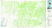
(13)- 1893 Map of Nueces
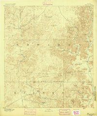 1893 Nueces1893 Print · USGSTexas ranching culture and the canyons of the Nueces River are captured here during the 1890s frontier era. Genealogists and local historians can trace early family landholdings like the Ford and Holliday Ranch and remote settlements such as Camp Wood or Barksdale.
 - 1896 Map of Nueces
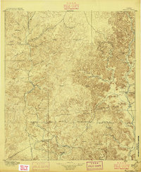 1896 Nueces1896 Print · USGSThe upper Nueces River valley in the 1890s is captured here as a network of isolated family ranches and riverfront settlements. Genealogists and historians can trace early landholders at the Ford and Holliday Ranch, Johnson Ranch, and Hillcoat Ranch.4 unique versions available
 - 1944 Map of Barksdale
 1944 Barksdale1944 Print · USGSThe Edwards County ranching country of the mid-1940s is detailed here during the expansion of rural utility lines and cattle operations. Genealogists can locate family-named landmarks like Double Wells Ranch, Old Chapman Place, and the riverfront grounds of Camp Wood.
 - 1958 Map of Del Rio, 1970 Print
 1958 Del Rio1970 Print · USGSThe Texas-Mexico borderlands come alive in the late fifties, showing the confluence of the Rio Grande and the emerging Amistad Reservoir. Trace the lineage of the Southern Pacific rail line through stops at Pumpville, Shumla, and the mining vicinity of Blewett.2 unique versions available
 - 1964 Map of Del Rio
 1964 Del Rio1964 Print · USGSAlong the Mexican border during the mid-sixties, this area centered on the confluence of the Rio Grande and Devils River. Researchers can trace the Southern Pacific line through isolated stops like Pumpville or locate military and industrial sites such as Laughlin Air Force Base and the mines at Blewett.
 - 1973 Map of Camp Wood, 1976 Print
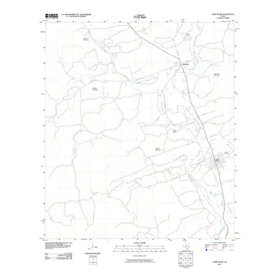
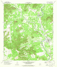 1973 Camp Wood1976 Print · USGSThe Nueces River valley in the early seventies shows the established communities of Barksdale and Camp Wood amidst a rugged landscape of named peaks. Local historians can trace landmarks like the Historical Site, Garden of Memories cemetery, and Old Faithful Spring.
 - 1975 Map of Barksdale
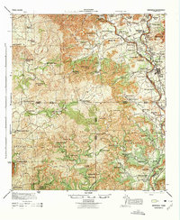 1975 Barksdale1975 Print · USGSThe Nueces River valley in the early 1940s is a landscape of established family ranches and limestone peaks. Genealogists can trace property lines and legacy sites like the Rhodes Ranch, the settlement of Barksdale, and the grounds of Camp Fawcett.
 - 1985 Map of Camp Wood, 1986 Print
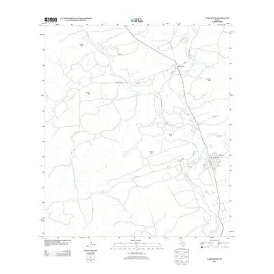
 1985 Camp Wood1986 Print · USGSThe Edwards Plateau and Nueces River Valley are captured here in the mid-eighties, showing a landscape of isolated ranching hubs and rugged drainage basins. Researchers can trace the Old Railroad Grade or locate historic springs like Dripping Springs and Red Camp Spring.2 unique versions available
 - 2010 Map of Camp Wood, 2010 Print
 2010 Camp Wood2010 Print · USGSCovers Camp Wood, including Barksdale, Real County, and other nearby areas
 - 2013 Map of Camp Wood, 2013 Print
 2013 Camp Wood2013 Print · USGSCovers Camp Wood, including Barksdale, Real County, and other nearby areas
 - 2016 Map of Camp Wood, 2016 Print
 2016 Camp Wood2016 Print · USGSCovers Camp Wood, including Barksdale, Real County, and other nearby areas
 - 2019 Map of Camp Wood, 2019 Print
 2019 Camp Wood2019 Print · USGSCovers Camp Wood, including Barksdale, Real County, and other nearby areas
 - 2022 Map of Camp Wood, 2022 Print
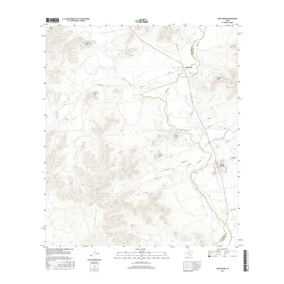
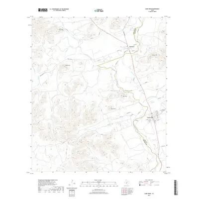
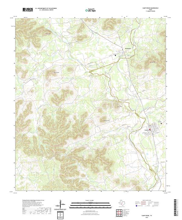 2022 Camp Wood2022 Print · USGSThe Nueces River valley in the early twenty-first century remains a landscape of isolated spring-fed settlements and high plateau ridges. Genealogists and local historians can locate Barksdale Cem, trace the waters of Old Faithful Spring, and explore the streets of Camp Wood.
End of results
Showing maps 1-13 of 13
Frequently asked questions
- What are the different types of historical maps available for Camp Wood?
- What is the oldest map of Camp Wood?
- Where can I purchase historical maps of Camp Wood for my home or office?
- Where can I download high-res historical maps of Camp Wood?
- Are there historical topographic maps available for Camp Wood?
- Is there historical aerial imagery available for Camp Wood?
- Where are historical maps of Camp Wood sourced from?