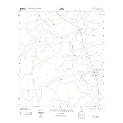
2013 Map of Camp Wood
USGS Topo · Published 2013About this map
The Nueces River carves a path through this Hill Country landscape, anchoring the settlements of Barksdale and Camp Wood. The river’s importance to the area is punctuated by water sources like Old Faithful Spring and Camp Wood Spring, which historically supported local development along the eastern bank. The terrain is defined by a series of prominent summits, including Powers Mtn, Military Mtn, and Wildcat Mtn, while Pikes Peak stands near the confluence of Pulliam Cr and the main river channel.
Find a feature on this map
46 named features on this map. Tap any name to fly to it.
Don’t see what you’re looking for? This feature index may not catch every label — zoom into the map to look around manually.
Map Details
Editions of this 2013 Camp Wood Map
This is the sole edition of this map. No revisions or reprints were ever made.
Other maps of this area

1893 · Nueces
USGS Topo · 1:125,000

1896 · Nueces
USGS Topo · 1:125,000

1944 · Barksdale
USGS Topo · 1:62,500

1947 · Hackberry
USGS Topo · 1:62,500

1954 · San Antonio
USGS Topo · 1:250,000

1957 · San Antonio
USGS Topo · 1:250,000

1957 · York Hollow
USGS Topo · 1:62,500

1958 · Del Rio
USGS Topo · 1:250,000

1964 · Del Rio
USGS Topo · 1:250,000
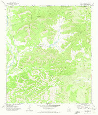
1971 · Lake Creek
USGS Topo · 1:24,000