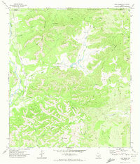
1971 Map of Lake Creek
USGS Topo · Published 1974About this map
Nueces River valley life and the complex topography of the Rawhide Mountains define this 1970s landscape on the border of Uvalde and Real Counties. The map reveals a transition from the river bottom to higher elevations, where the legacy of early transportation is visible in the Old Railroad Grade winding along the western bank. Small inland settlements like Blucher and Walnut Springs are tucked among the many drainage canyons such as Dugwell Canyon and Miller Creek.
Find a feature on this map
30 named features on this map. Tap any name to fly to it.
Don’t see what you’re looking for? This feature index may not catch every label — zoom into the map to look around manually.
Map Details
Editions of this 1971 Lake Creek Map
This is the sole edition of this map. No revisions or reprints were ever made.
Other maps of this area

1893 · Nueces
USGS Topo · 1:125,000

1896 · Nueces
USGS Topo · 1:125,000

1896 · Brackett
USGS Topo · 1:125,000

1897 · Brackett
USGS Topo · 1:125,000

1898 · Uvalde
USGS Topo · 1:125,000

1899 · Uvalde
USGS Topo · 1:125,000

1938 · Turkey Mountain
USGS Topo · 1:48,000

1943 · Turkey Mountain
USGS Topo · 1:62,500

1944 · Barksdale
USGS Topo · 1:62,500

1954 · San Antonio
USGS Topo · 1:250,000