Old Maps of Vance, Texas for Hiking & Exploration
Hike through history with 12 historic maps of Vance. Explore old trails, ghost towns, and forgotten backroads — perfect for outdoor adventurers and local explorers.
- Rediscover forgotten places: Map out old mining camps, roads, and footpaths that no longer exist on modern maps.
- Layer with modern tools: Combine with LiDAR or satellite views to plan hikes through historical terrain.
- Made for exploration: Popular among hikers, overlanders, and local history lovers.
Use these maps to find adventure and explore the hidden past of Vance.
Vance, TX maps
(12)- 1893 Map of Nueces
 1893 Nueces1893 Print · USGSTexas ranching culture and the canyons of the Nueces River are captured here during the 1890s frontier era. Genealogists and local historians can trace early family landholdings like the Ford and Holliday Ranch and remote settlements such as Camp Wood or Barksdale.
 - 1896 Map of Nueces
 1896 Nueces1896 Print · USGSThe upper Nueces River valley in the 1890s is captured here as a network of isolated family ranches and riverfront settlements. Genealogists and historians can trace early landholders at the Ford and Holliday Ranch, Johnson Ranch, and Hillcoat Ranch.4 unique versions available
 - 1947 Map of Hackberry, 1973 Print
 1947 Hackberry1973 Print · USGSRanching life in the Edwards Plateau is captured here just after the war. Family historians can trace ancestral holdings like Wittenburg Ranch and Hampton Ranch, or locate the rural Cedar Creek School.
 - 1958 Map of Del Rio, 1970 Print
 1958 Del Rio1970 Print · USGSThe Texas-Mexico borderlands come alive in the late fifties, showing the confluence of the Rio Grande and the emerging Amistad Reservoir. Trace the lineage of the Southern Pacific rail line through stops at Pumpville, Shumla, and the mining vicinity of Blewett.2 unique versions available
 - 1964 Map of Del Rio
 1964 Del Rio1964 Print · USGSAlong the Mexican border during the mid-sixties, this area centered on the confluence of the Rio Grande and Devils River. Researchers can trace the Southern Pacific line through isolated stops like Pumpville or locate military and industrial sites such as Laughlin Air Force Base and the mines at Blewett.
 - 1973 Map of Vance, 1976 Print
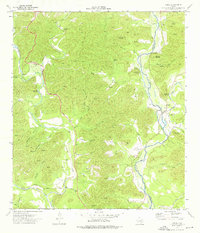 1973 Vance1976 Print · USGSThe Nueces River valley in the early 1970s reveals a quiet ranching landscape on the border of Edwards and Real counties. Genealogists and historians can locate the Vance settlement, a local Cem, and family-named landmarks like Moffett Mountain.
 - 1985 Map of Camp Wood, 1986 Print
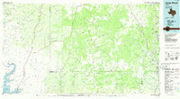 1985 Camp Wood1986 Print · USGSThe Edwards Plateau and Nueces River Valley are captured here in the mid-eighties, showing a landscape of isolated ranching hubs and rugged drainage basins. Researchers can trace the Old Railroad Grade or locate historic springs like Dripping Springs and Red Camp Spring.2 unique versions available
 - 2010 Map of Vance, 2010 Print
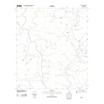 2010 Vance2010 Print · USGSThe Nueces River valley in the early twenty-first century remains a landscape of remote ranching outposts and high limestone peaks. Trace the geography of the river corridor near Vance and Flying Bull Ranch, or locate family-named landmarks like Perkins Mountain and Cardells.
 - 2012 Map of Vance, 2012 Print
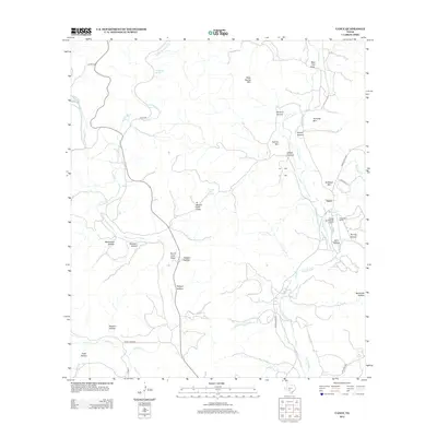 2012 Vance2012 Print · USGSThe Nueces River valley in Real County remains a landscape of deep canyons and high peaks in the early twenty-first century. Researchers can trace land use patterns and aviation sites like Flying Bull Ranch Airport alongside landmarks such as Bullhead Mountain and Vance.
 - 2016 Map of Vance, 2016 Print
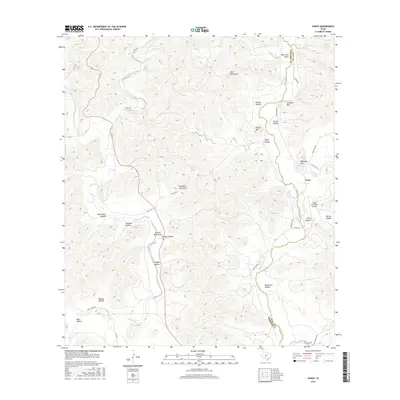 2016 Vance2016 Print · USGSThe Nueces River valley in the mid-2010s shows a landscape of cattle ranching and aviation along the Edwards and Real county line. Genealogists and researchers can trace local landmarks like Vance, Flying Bull Ranch Airport, and Turnpike Mtn.
 - 2019 Map of Vance, 2019 Print
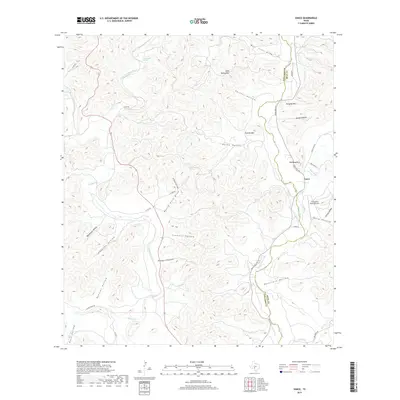 2019 Vance2019 Print · USGSThe hills of Real and Edwards counties come into focus in this recent survey, centered on the community of Vance. Trace the local canyon geography along the Nueces River, including remote landmarks like Greenhouse Spring and the Flying Bull Ranch Airport.
 - 2022 Map of Vance, 2022 Print
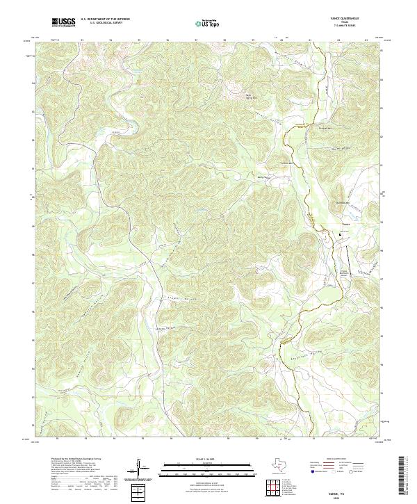 2022 Vance2022 Print · USGSModern Edwards County ranching and river country are mapped here along the Nueces River valley. Genealogists and local historians can locate the Vance Cemetery and trace land features from Bullhead Mountain down to the Flying Bull Ranch Airport.
End of results
Showing maps 1-12 of 12
Top cities near Vance
Frequently asked questions
- What are the different types of historical maps available for Vance?
- What is the oldest map of Vance?
- Where can I purchase historical maps of Vance for my home or office?
- Where can I download high-res historical maps of Vance?
- Are there historical topographic maps available for Vance?
- Is there historical aerial imagery available for Vance?
- Where are historical maps of Vance sourced from?