Old Maps of Lone Star, Texas for Hiking & Exploration
Hike through history with 10 historic maps of Lone Star. Explore old trails, ghost towns, and forgotten backroads — perfect for outdoor adventurers and local explorers.
- Rediscover forgotten places: Map out old mining camps, roads, and footpaths that no longer exist on modern maps.
- Layer with modern tools: Combine with LiDAR or satellite views to plan hikes through historical terrain.
- Made for exploration: Popular among hikers, overlanders, and local history lovers.
Use these maps to find adventure and explore the hidden past of Lone Star.
Lone Star, TX maps
(10)- 1953 Map of Texarkana, 1964 Print
 1953 Texarkana1964 Print · USGSThe Texas-Arkansas borderlands are captured here in the mid-fifties, during a decade of massive military and hydraulic engineering projects. Genealogists and researchers can locate family landmarks like Old Boston Cem, Siloam Ch, and the vast Red River Arsenal.4 unique versions available
 - 1956 Map of Texarkana
 1956 Texarkana1956 Print · USGSThe Ark-La-Tex borderlands come alive in the mid-fifties, showing the transition from a rail-dependent rural economy to a post-war industrial landscape. Researchers can trace the massive Red River Ordnance Depot and find towns like Talco, Bogata, and Naples.
 - 1964 Map of Line Branch, 1967 Print
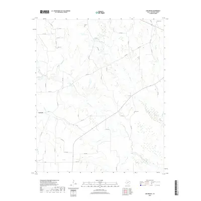
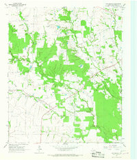 1964 Line Branch1967 Print · USGSRed River County’s agricultural and oil-producing heartland is captured here in the mid-1960s. Genealogists can trace family footprints through sites like Lone Star Cem, Turner Cem, and the small settlements of Fulbright and Liberty.
 - 1985 Map of Paris
 1985 Paris1985 Print · USGSThe Red River Valley in the mid-eighties shows a landscape of military training grounds and rail-connected agricultural towns. Genealogists and historians can trace local landmarks like Allens Chapel Cem, the grounds of Camp Maxey, and the early footprint of Paris Junior College.
 - 1991 Map of Paris
 1991 Paris1991 Print · USGSNorthern Texas and southern Oklahoma meet along the Red River valley during the early nineties. Researchers can trace the rail networks of the Texas and Pacific RR and visit rural communities like Manchester, Sylvan, and Arthur City.
 - 2010 Map of Line Branch, 2010 Print
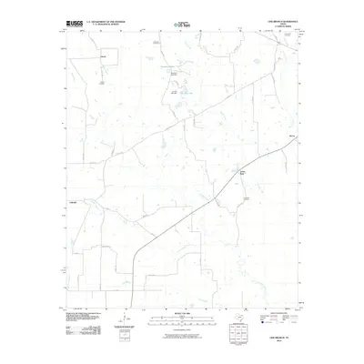 2010 Line Branch2010 Print · USGSCovers Lone Star, including Liberty, McCoy, and other nearby areas
 - 2012 Map of Line Branch, 2012 Print
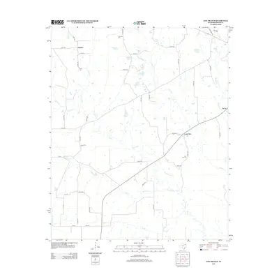 2012 Line Branch2012 Print · USGSCovers Lone Star, including Liberty, McCoy, and other nearby areas
 - 2016 Map of Line Branch, 2016 Print
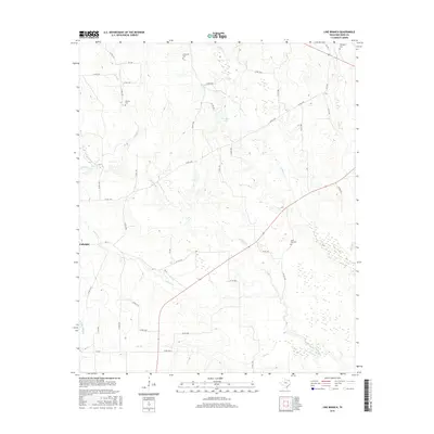 2016 Line Branch2016 Print · USGSCovers Lone Star, including Liberty, McCoy, and other nearby areas
 - 2019 Map of Line Branch, 2019 Print
 2019 Line Branch2019 Print · USGSCovers Lone Star, including Liberty, McCoy, and other nearby areas
 - 2022 Map of Line Branch, 2022 Print
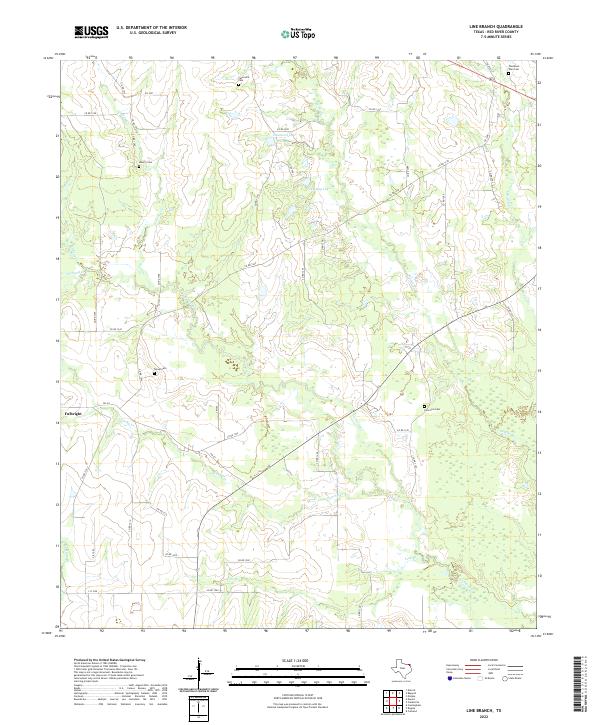 2022 Line Branch2022 Print · USGSRed River County is documented here in the early twenty-first century, showing a landscape of small-scale watercourses and rural crossings. Genealogists can trace family landmarks at Lone Star Cem, Thompson Toen Cem, and the community of Fulbright.
End of results
Showing maps 1-10 of 10
Top cities near Lone Star
- Clarksville historical maps
- Blossom historical maps
- Bogata historical maps
- Detroit historical maps
- Talco historical maps
Frequently asked questions
- What are the different types of historical maps available for Lone Star?
- What is the oldest map of Lone Star?
- Where can I purchase historical maps of Lone Star for my home or office?
- Where can I download high-res historical maps of Lone Star?
- Are there historical topographic maps available for Lone Star?
- Is there historical aerial imagery available for Lone Star?
- Where are historical maps of Lone Star sourced from?