Old Maps of Minden, Texas for Genealogy
Trace your family roots with 10 historic maps of Minden. These high-res maps reveal old neighborhoods, homesites, landmarks, and streets — helping you uncover where your ancestors lived and how the area evolved over time.
- Explore historic neighborhoods: Identify where your relatives may have lived in the 1800s or 1900s.
- Compare maps over time: Trace the changes in streets, buildings, and landmarks for multi-generational research.
- Perfect for genealogy & ancestry research: Used by family historians and researchers to map out lineage and migration.
These maps are an incredible resource for exploring your personal connection to Minden's past.
Minden, TX maps
(10)- 1956 Map of Tyler
 1956 Tyler1956 Print · USGSEast Texas was a powerhouse of oil production and rail transport during the mid-fifties, centered on the sprawling East Texas Oil Field. Researchers can trace the heritage of industrial hubs like Kilgore, military sites such as the Longhorn Ordnance Works, and many rural landmarks like Mount Enterprise.5 unique versions available
 - 1960 Map of Minden, 1962 Print
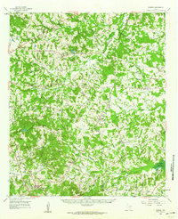 1960 Minden1962 Print · USGSRusk and Panola counties are shown at the start of the sixties, capturing the intricate network of country roads and family burial grounds. Researchers can find old rural schoolhouses like Willow Springs Sch and trace landmarks from Minden to Fair Play.
 - 1983 Map of Minden
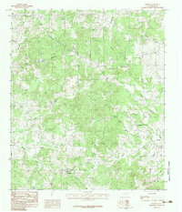 1983 Minden1983 Print · USGSThe rural landscape of Rusk County in the early eighties is captured here through its network of homesteads and winding creeks. Genealogists and local historians can trace family-named landmarks like Maxwell, Brachfield, and the settlement of Minden near Murvaul Bayou.
 - 1984 Map of Tyler
 1984 Tyler1984 Print · USGSEast Texas at the peak of its reservoir-building era shows a landscape defined by new lakes and established rail corridors. Trace the path of the St Louis Southwestern RR or locate industrial sites like the Longhorn Ordnance Works.3 unique versions available
 - 1986 Map of Henderson
 1986 Henderson1986 Print · USGSEast Texas and the Louisiana borderlands come into focus in the 1980s as industrial energy production meets quiet rural townships. Researchers can trace family sites and local landmarks from Elysian Fields to Old Panola, alongside major features like the Strip Mine and Martin Lake State Park.2 unique versions available
 - 2010 Map of Minden, 2010 Print
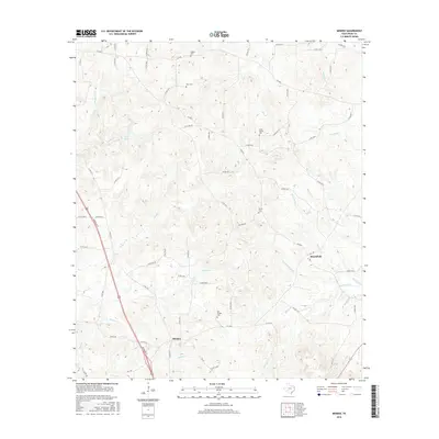
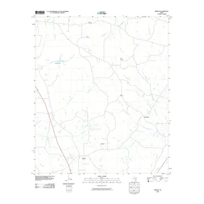 2010 Minden2010 Print · USGSCovers Minden, including Brachfield, Rusk County, and other nearby areas
 - 2013 Map of Minden, 2013 Print
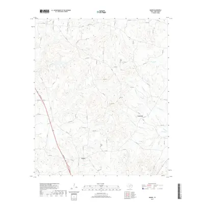
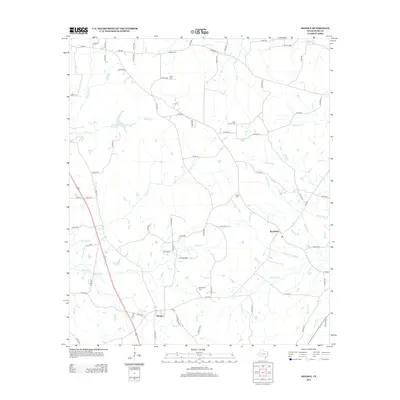 2013 Minden2013 Print · USGSCovers Minden, including Brachfield, Rusk County, and other nearby areas
 - 2016 Map of Minden, 2016 Print
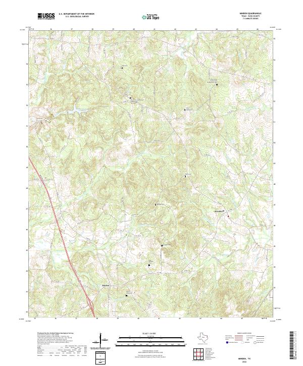
 2016 Minden2016 Print · USGSCovers Minden, including Brachfield, Rusk County, and other nearby areas
 - 2019 Map of Minden, 2019 Print
 2019 Minden2019 Print · USGSCovers Minden, including Brachfield, Rusk County, and other nearby areas
 - 2022 Map of Minden, 2022 Print
 2022 Minden2022 Print · USGSEastern Rusk County is shown here in the early twenty-first century, preserving a landscape of small settlements and family burial grounds. Researchers can trace local lineages through the Maple Grove Cem, Brachfield, and Zion Hill Cem.
End of results
Showing maps 1-10 of 10
Top cities near Minden
- Henderson historical maps
- New London historical maps
- Garrison historical maps
- Cushing historical maps
- Mount Enterprise historical maps
Frequently asked questions
- What are the different types of historical maps available for Minden?
- What is the oldest map of Minden?
- Where can I purchase historical maps of Minden for my home or office?
- Where can I download high-res historical maps of Minden?
- Are there historical topographic maps available for Minden?
- Is there historical aerial imagery available for Minden?
- Where are historical maps of Minden sourced from?