2000s (21st Century) Maps of Pineland, Texas
Explore 12 historic maps of Pineland from the 2000s (21st Century). These maps offer a rare glimpse into what life looked like during the 2000s — showing old roads, neighborhoods, homes, and landmarks that have changed or disappeared over time.
Whether you're researching your family's past, planning a metal detecting trip, or studying how Pineland's landscape evolved across the 2000s, these high-resolution maps are a powerful tool for exploring the history of this region.
- Focus on a specific era: All maps on this page are from the 2000s, giving you a focused view of this time period.
- See what’s changed: Compare century-old streets, trails, and buildings to today's modern landscape using overlays and satellite layers.
- Research with precision: Use these maps for genealogy, historical research, land use analysis, or educational projects.
- View, download, or print: Maps are fully viewable online in high resolution, and can be downloaded or printed for your own records.
Start exploring Pineland's history through authentic maps from the 2000s. This is your window into the past.
Pineland, TX maps
(12)- 2003 Map of Pineland North, 2004 Print
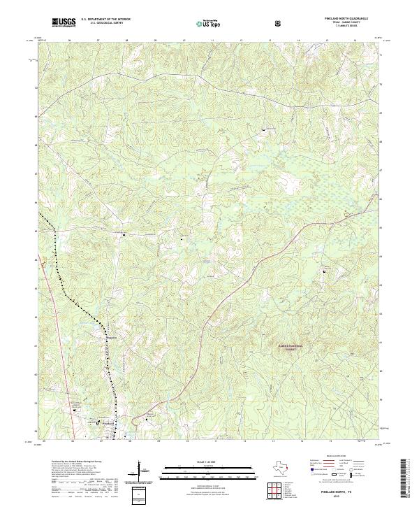
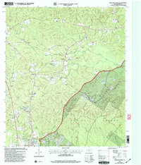 2003 Pineland North2004 Print · USGSSabine County at the start of the century shows a landscape where timber and family heritage intersect. Genealogists and local historians can locate Whitehead Cem and Spring Hill Ch, or trace the rural routes through Strickland Crossing and Plainview.
 - 2003 Map of Pineland South, 2004 Print
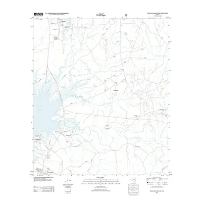
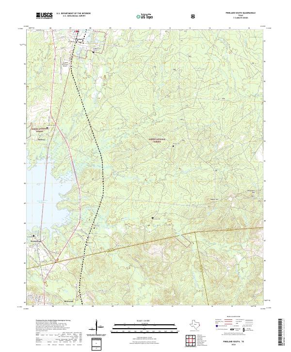
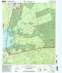 2003 Pineland South2004 Print · USGSEast Texas timberlands and the shoreline of the reservoir define this area at the start of the millennium. Genealogists can locate several family landmarks and community sites like Lowe Cem, Lone Star Ch, and the settlement of Stringtown.
 - 2010 Map of Pineland North, 2010 Print
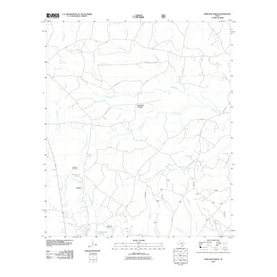 2010 Pineland North2010 Print · USGSCovers Pineland, including Magasco, Strickland Crossing, and other nearby areas
 - 2010 Map of Pineland South, 2010 Print
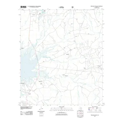 2010 Pineland South2010 Print · USGSCovers Pineland, including Browndell, Blackjack, and other nearby areas
 - 2012 Map of Pineland South, 2012 Print
 2012 Pineland South2012 Print · USGSCovers Pineland, including Browndell, Blackjack, and other nearby areas
 - 2012 Map of Pineland North, 2012 Print
 2012 Pineland North2012 Print · USGSCovers Pineland, including Magasco, Strickland Crossing, and other nearby areas
 - 2016 Map of Pineland North, 2016 Print
 2016 Pineland North2016 Print · USGSCovers Pineland, including Magasco, Strickland Crossing, and other nearby areas
 - 2016 Map of Pineland South, 2016 Print
 2016 Pineland South2016 Print · USGSCovers Pineland, including Browndell, Blackjack, and other nearby areas
 - 2019 Map of Pineland North, 2019 Print
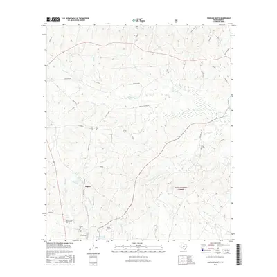
 2019 Pineland North2019 Print · USGSCovers Pineland, including Magasco, Strickland Crossing, and other nearby areas
 - 2019 Map of Pineland South, 2019 Print
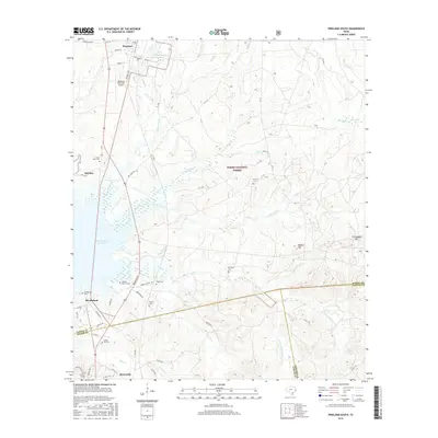
 2019 Pineland South2019 Print · USGSCovers Pineland, including Browndell, Blackjack, and other nearby areas
 - 2022 Map of Pineland North, 2022 Print
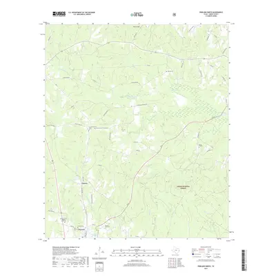
 2022 Pineland North2022 Print · USGSDeep in the Piney Woods during the early 2020s, this area showcases the intersection of the timber industry and rural Texas life. Genealogists can trace family footprints through numerous burial sites including Pineland Cemetery, Spring Hill Cemetery, and Plainview Cemetery.
 - 2022 Map of Pineland South, 2022 Print
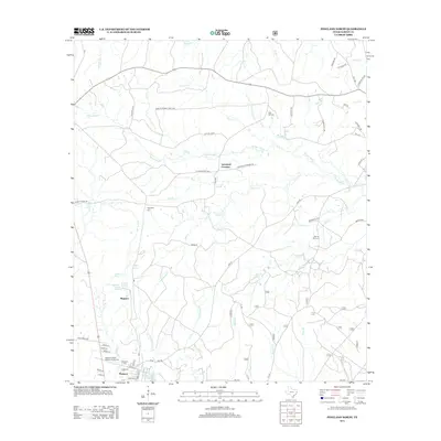
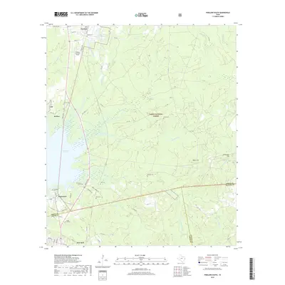
 2022 Pineland South2022 Print · USGSSabine and Jasper counties come to life in this recent study of the Deep East Texas timberlands and the Sam Rayburn Reservoir shoreline. Researchers can locate several historic burial sites, including Goodwill Cem, McElroy Cem, and Remlig Cem near the town of Pineland.
End of results
Showing maps 1-12 of 12
Top cities near Pineland
Frequently asked questions
- What are the different types of historical maps available for Pineland?
- What is the oldest map of Pineland?
- Where can I purchase historical maps of Pineland for my home or office?
- Where can I download high-res historical maps of Pineland?
- Are there historical topographic maps available for Pineland?
- Is there historical aerial imagery available for Pineland?
- Where are historical maps of Pineland sourced from?