Old Maps of Massa, Texas for Genealogy
Trace your family roots with 13 historic maps of Massa. These high-res maps reveal old neighborhoods, homesites, landmarks, and streets — helping you uncover where your ancestors lived and how the area evolved over time.
- Explore historic neighborhoods: Identify where your relatives may have lived in the 1800s or 1900s.
- Compare maps over time: Trace the changes in streets, buildings, and landmarks for multi-generational research.
- Perfect for genealogy & ancestry research: Used by family historians and researchers to map out lineage and migration.
These maps are an incredible resource for exploring your personal connection to Massa's past.
Massa, TX maps
(13)- 1953 Map of Palestine, 1964 Print
 1953 Palestine1964 Print · USGSEast Texas was defined by its deep pine forests and burgeoning energy sector in the mid-1950s. Genealogists and historians can trace the rail-and-river economy through settlements like Tennessee Colony and Pollok or explore the early footprints of the Cayuga Oil Field and Davy Crockett National Forest.2 unique versions available
 - 1957 Map of Palestine
 1957 Palestine1957 Print · USGSEast Texas in the mid-fifties reveals a landscape of deep pine forests and winding river valleys before the era of massive reservoir construction. Researchers can trace the legacy of the timber and rail industries through labels for the Missouri Pacific RR, Davy Crockett National Forest, and Nacogdoches.
 - 1958 Map of Bronson, 1959 Print
 1958 Bronson1959 Print · USGSSan Augustine and Sabine counties are captured in the late fifties as the regional landscape prepared for the creation of the McGee Bend Reservoir. Researchers can trace rural cemeteries like Nath Beck Cem, visit Maxey Town, and follow the old Gulf Colorado and Santa Fe Railroad Grade.3 unique versions available
 - 1984 Map of Harvey Creek
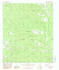 1984 Harvey Creek1984 Print · USGSSan Augustine County in the early eighties was a landscape of deep pine woods and reservoir shorelines. Researchers can trace the rural settlement at White City and the winding course of Ayish Bayou through the Angelina National Forest.
 - 1984 Map of Palestine
 1984 Palestine1984 Print · USGSEast Texas in the mid-eighties reveals a landscape of massive reservoirs and protected timberlands between Palestine and Nacogdoches. Researchers can trace old routes like the Missouri Pacific RR and locate rural communities such as Tennessee Colony, Latexo, and Etoile.3 unique versions available
 - 1986 Map of Lufkin
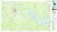 1986 Lufkin1986 Print · USGSDeep in the Piney Woods during the mid-eighties, this map documents a landscape shaped by vast national forests and the waters of the Sam Rayburn Reservoir. Researchers can trace the legacy of timber and rail through settlements like Diboll, Herty, and Ewing alongside the St Louis Southwestern railroad.
 - 1992 Map of Lufkin
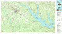 1992 Lufkin1992 Print · USGSThe Piney Woods of East Texas are captured here in the early nineties, centered on the growing industrial hub of Lufkin. Local researchers can trace the rail networks of the Angelina & Neches River RR and locate rural landmarks like Shady Grove Ch and Manning.
 - 2003 Map of Harvey Creek, 2004 Print
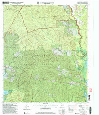 2003 Harvey Creek2004 Print · USGSSan Augustine County at the turn of the twenty-first century reveals a landscape defined by the deep woods of the Angelina National Forest and the rising waters of the Sam Rayburn Reservoir. Genealogists and local historians can trace scattered settlements and rural landmarks like White City, Macedonia Cem, and Pisgah Ch.
 - 2010 Map of Harvey Creek, 2010 Print
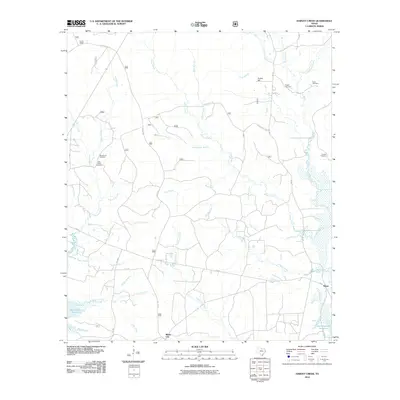 2010 Harvey Creek2010 Print · USGSDeep in the East Texas piney woods during the early twenty-first century, this landscape is defined by the Sam Rayburn Reservoir and the rural community of White City. Researchers can trace old family burial grounds like Macedonia Cemetery and Crow Cemetery among the many branches of Ayish Bayou.
 - 2013 Map of Harvey Creek, 2013 Print
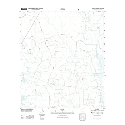 2013 Harvey Creek2013 Print · USGSWhite City and the surrounding San Augustine County landscape are captured here in the early twenty-first century as the woods meet the northern waters of the Sam Rayburn Reservoir. Genealogists can locate several historic burial grounds including Pisgah Cem, Macedonia Cem, and Nath Beck Cem.
 - 2016 Map of Harvey Creek, 2016 Print
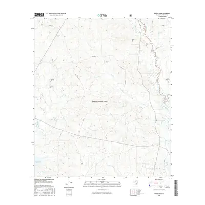 2016 Harvey Creek2016 Print · USGSThe Angelina National Forest dominates this part of San Augustine County in the mid-2010s, showing a landscape defined by timberlands and the Atish Bayou wetlands. Genealogists can trace family names at several rural burial grounds, including Nathaniel Beck Cem, Pisgah Cem, and Croker - Boren Cem.
 - 2019 Map of Harvey Creek, 2019 Print
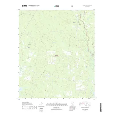 2019 Harvey Creek2019 Print · USGSSan Augustine County is shown here in the 2010s, where the Angelina National Forest meets the waters of Ayish Bayou. Genealogists can locate several small cemeteries including Crow Cem and Macedonia Cem tucked away among the many branches and creeks.
 - 2022 Map of Harvey Creek, 2022 Print
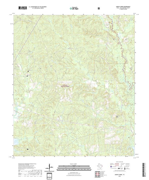 2022 Harvey Creek2022 Print · USGSSan Augustine County at the start of the 2020s remains a landscape of deep timber and winding bayous. Genealogists can locate several small burial grounds including Pisgah Cem, Crow Cem, and Hebron Cem within the Angelina National Forest.
End of results
Showing maps 1-13 of 13
Top cities near Massa
Frequently asked questions
- What are the different types of historical maps available for Massa?
- What is the oldest map of Massa?
- Where can I purchase historical maps of Massa for my home or office?
- Where can I download high-res historical maps of Massa?
- Are there historical topographic maps available for Massa?
- Is there historical aerial imagery available for Massa?
- Where are historical maps of Massa sourced from?