2000s (21st Century) Maps of Union Grave, Texas
Explore 6 historic maps of Union Grave from the 2000s (21st Century). These maps offer a rare glimpse into what life looked like during the 2000s — showing old roads, neighborhoods, homes, and landmarks that have changed or disappeared over time.
Whether you're researching your family's past, planning a metal detecting trip, or studying how Union Grave's landscape evolved across the 2000s, these high-resolution maps are a powerful tool for exploring the history of this region.
- Focus on a specific era: All maps on this page are from the 2000s, giving you a focused view of this time period.
- See what’s changed: Compare century-old streets, trails, and buildings to today's modern landscape using overlays and satellite layers.
- Research with precision: Use these maps for genealogy, historical research, land use analysis, or educational projects.
- View, download, or print: Maps are fully viewable online in high resolution, and can be downloaded or printed for your own records.
Start exploring Union Grave's history through authentic maps from the 2000s. This is your window into the past.
Union Grave, TX maps
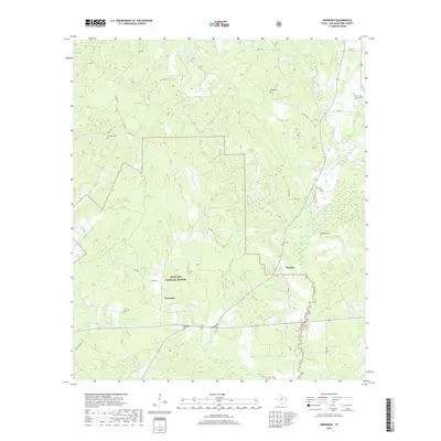
(6)- 2003 Map of Norwood, 2004 Print
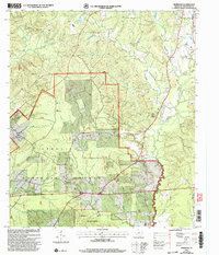 2003 Norwood2004 Print · USGSDeep in the piney woods of East Texas at the turn of the twenty-first century, this survey traces the rural landscape of San Augustine County. Genealogists and historians can locate the Norwood School and follow the boundaries of the Angelina National Forest.
 - 2010 Map of Norwood, 2010 Print
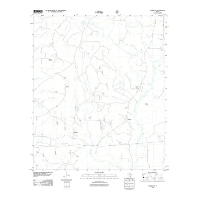 2010 Norwood2010 Print · USGSCovers Union Grave, including Norwood, Macune, and other nearby areas
 - 2013 Map of Norwood, 2013 Print
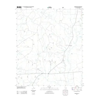 2013 Norwood2013 Print · USGSCovers Union Grave, including Norwood, Macune, and other nearby areas
 - 2016 Map of Norwood, 2016 Print
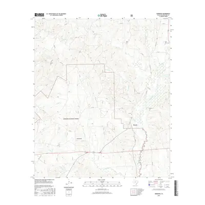 2016 Norwood2016 Print · USGSCovers Union Grave, including Norwood, Macune, and other nearby areas
 - 2019 Map of Norwood, 2019 Print
 2019 Norwood2019 Print · USGSCovers Union Grave, including Norwood, Macune, and other nearby areas
 - 2022 Map of Norwood, 2022 Print
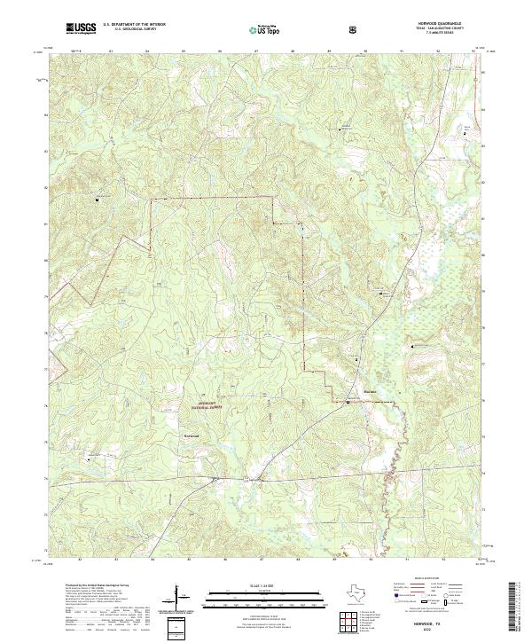 2022 Norwood2022 Print · USGSSan Augustine County is shown here in the 2020s, highlighting the enduring timberlands and rural settlements of East Texas. Genealogists can trace family heritage at Maryland Cem, Union Grove Cem, and the small community of Macune.
End of results
Showing maps 1-6 of 6
Top cities near Union Grave
- San Augustine historical maps
- Pineland historical maps
- Chireno historical maps
- Broaddus historical maps
Frequently asked questions
- What are the different types of historical maps available for Union Grave?
- What is the oldest map of Union Grave?
- Where can I purchase historical maps of Union Grave for my home or office?
- Where can I download high-res historical maps of Union Grave?
- Are there historical topographic maps available for Union Grave?
- Is there historical aerial imagery available for Union Grave?
- Where are historical maps of Union Grave sourced from?