2000s (21st Century) Maps of San Patricio, Texas
Explore 10 historic maps of San Patricio from the 2000s (21st Century). These maps offer a rare glimpse into what life looked like during the 2000s — showing old roads, neighborhoods, homes, and landmarks that have changed or disappeared over time.
Whether you're researching your family's past, planning a metal detecting trip, or studying how San Patricio's landscape evolved across the 2000s, these high-resolution maps are a powerful tool for exploring the history of this region.
- Focus on a specific era: All maps on this page are from the 2000s, giving you a focused view of this time period.
- See what’s changed: Compare century-old streets, trails, and buildings to today's modern landscape using overlays and satellite layers.
- Research with precision: Use these maps for genealogy, historical research, land use analysis, or educational projects.
- View, download, or print: Maps are fully viewable online in high resolution, and can be downloaded or printed for your own records.
Start exploring San Patricio's history through authentic maps from the 2000s. This is your window into the past.
San Patricio, TX maps
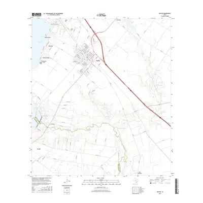
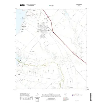
(10)- 2010 Map of Mathis, 2010 Print
 2010 Mathis2010 Print · USGSCovers San Patricio, including Mathis, Lake City, and other nearby areas
 - 2010 Map of San Patricio, 2010 Print
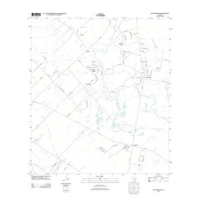
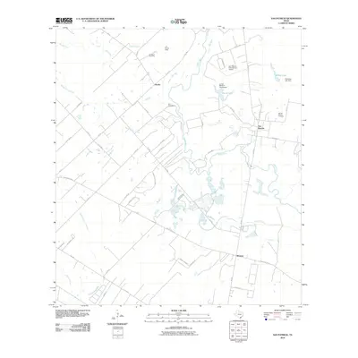 2010 San Patricio2010 Print · USGSCovers San Patricio, including Bluntzer, Knolle, and other nearby areas
 - 2013 Map of Mathis, 2013 Print
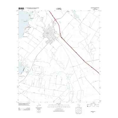 2013 Mathis2013 Print · USGSCovers San Patricio, including Mathis, Lake City, and other nearby areas
 - 2013 Map of San Patricio, 2013 Print
 2013 San Patricio2013 Print · USGSCovers San Patricio, including Bluntzer, Knolle, and other nearby areas
 - 2016 Map of San Patricio, 2016 Print
 2016 San Patricio2016 Print · USGSCovers San Patricio, including Bluntzer, Knolle, and other nearby areas
 - 2016 Map of Mathis, 2016 Print
 2016 Mathis2016 Print · USGSCovers San Patricio, including Mathis, Lake City, and other nearby areas
 - 2019 Map of San Patricio, 2019 Print
 2019 San Patricio2019 Print · USGSCovers San Patricio, including Bluntzer, Knolle, and other nearby areas
 - 2019 Map of Mathis, 2019 Print
 2019 Mathis2019 Print · USGSCovers San Patricio, including Mathis, Lake City, and other nearby areas
 - 2022 Map of San Patricio, 2022 Print
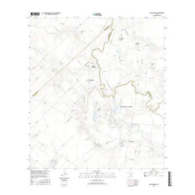
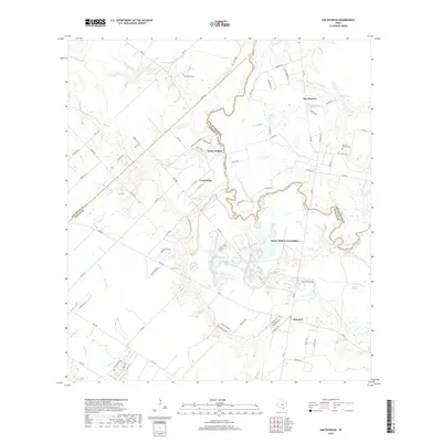
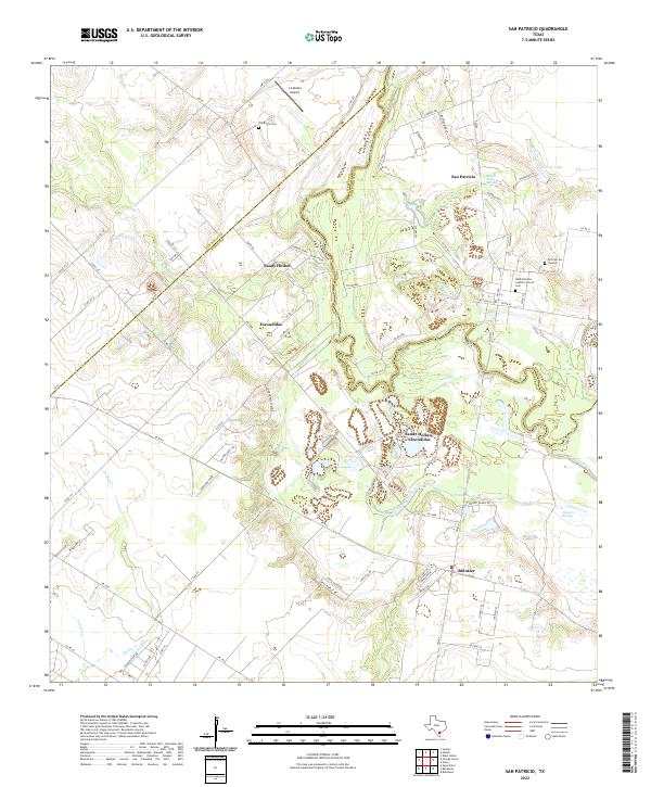 2022 San Patricio2022 Print · USGSThe Nueces River valley in South Texas comes to life here, showing the rural settlements and county lines of the coastal bend. Genealogists can trace family sites at Saint Patrick's Catholic Church Cem, Old Cem On The Hill, and the community of Bluntzer.
 - 2022 Map of Mathis, 2022 Print
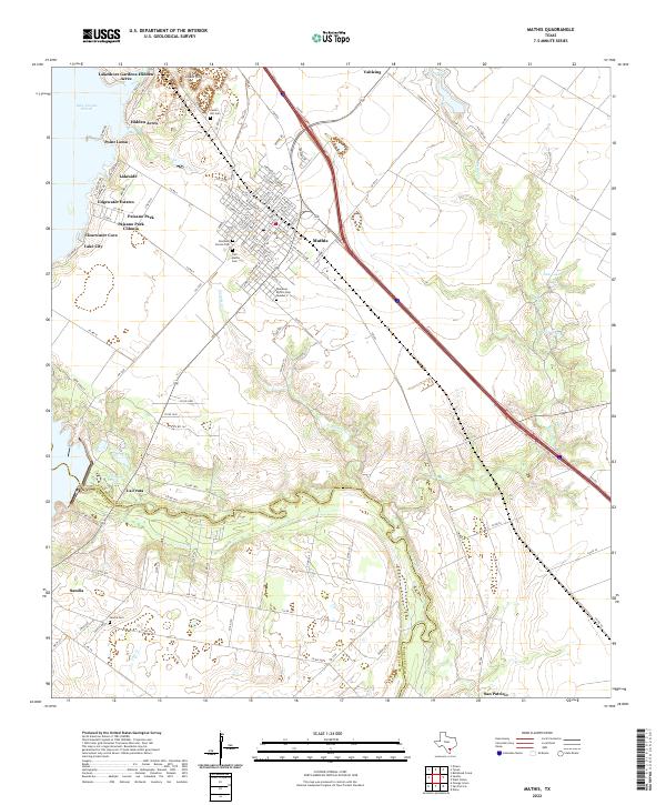 2022 Mathis2022 Print · USGSCoastal Texas life centers on the Nueces River and the reservoir in the early 2020s. Researchers can trace family sites at Tom Mathis Cem and explore established neighborhoods like La Fruta and Edgewater Estates.
End of results
Showing maps 1-10 of 10
Top cities near San Patricio
- Corpus Christi historical maps
- Robstown historical maps
- Mathis historical maps
- Odem historical maps
- Orange Grove historical maps
- Agua Dulce historical maps
See more
Frequently asked questions
- What are the different types of historical maps available for San Patricio?
- What is the oldest map of San Patricio?
- Where can I purchase historical maps of San Patricio for my home or office?
- Where can I download high-res historical maps of San Patricio?
- Are there historical topographic maps available for San Patricio?
- Is there historical aerial imagery available for San Patricio?
- Where are historical maps of San Patricio sourced from?