Old Maps of West Saint Paul, Texas for Hiking & Exploration
Hike through history with 11 historic maps of West Saint Paul. Explore old trails, ghost towns, and forgotten backroads — perfect for outdoor adventurers and local explorers.
- Rediscover forgotten places: Map out old mining camps, roads, and footpaths that no longer exist on modern maps.
- Layer with modern tools: Combine with LiDAR or satellite views to plan hikes through historical terrain.
- Made for exploration: Popular among hikers, overlanders, and local history lovers.
Use these maps to find adventure and explore the hidden past of West Saint Paul.
West Saint Paul, TX maps
(11)- 1953 Map of Beeville
 1953 Beeville1953 Print · USGSThe Texas Coastal Bend in the early fifties shows a landscape of growing regional hubs and vital maritime corridors. Trace the rail-and-river economy through Goliad, locate the Matagorda Lighthouse, and explore the sprawling Aransas National Wildlife Refuge.
 - 1954 Map of Sinton, 1956 Print
 1954 Sinton1956 Print · USGSSan Patricio County at the height of the mid-century oil boom is centered on the rail junction at Sinton. You can trace energy and transport history through the Plymouth Oil Camp, Papalote Cem, and the Sinton Oil Field.2 unique versions available
 - 1956 Map of Beeville
 1956 Beeville1956 Print · USGSCoastal Texas and the brush country interior are shown in the mid-fifties, from the coastal bays to the inland oil fields. Trace the old rail lines of the Southern Pacific RR or locate the historic Matagorda Lighthouse and the Aransas National Wildlife Refuge.2 unique versions available
 - 1960 Map of Beeville
 1960 Beeville1960 Print · USGSCoastal Texas in the mid-fifties reveals a landscape of growing towns and vital military outposts like Foster AFB. Researchers can trace old rail lines including the Missouri Pacific and explore the vast Aransas National Wildlife Refuge.
 - 1979 Map of West Sinton
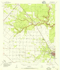
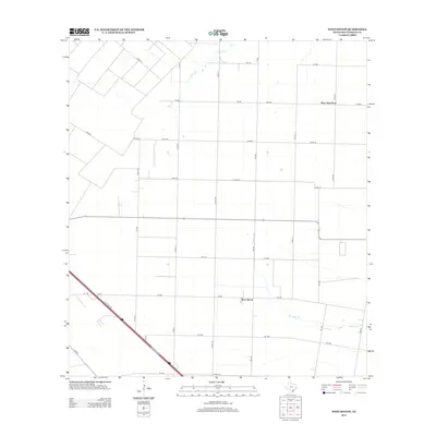
 1979 West Sinton1979 Print · USGSCoastal Texas ranching and oil production meet in the late seventies near the small communities of West Sinton and West St Paul. Trace the path of the Missouri Pacific railroad and find scattered Oil Wells along the banks of Chiltipin Creek.
 - 1985 Map of Beeville
 1985 Beeville1985 Print · USGSCoastal South Texas is captured here in the mid-1980s, from the inland plains of Beeville to the estuaries of the Gulf. Genealogists and researchers can trace local landmarks like Chase Field Naval Air Station or follow the historic Southern Pacific rail lines through Skidmore and Woodsboro.2 unique versions available
 - 2010 Map of West Sinton, 2010 Print
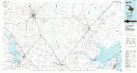
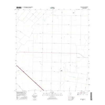
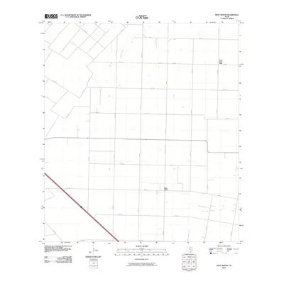 2010 West Sinton2010 Print · USGSCovers West Saint Paul, including West Sinton, San Patricio County, and other nearby areas
 - 2013 Map of West Sinton, 2013 Print
 2013 West Sinton2013 Print · USGSCovers West Saint Paul, including West Sinton, San Patricio County, and other nearby areas
 - 2016 Map of West Sinton, 2016 Print
 2016 West Sinton2016 Print · USGSCovers West Saint Paul, including West Sinton, San Patricio County, and other nearby areas
 - 2019 Map of West Sinton, 2019 Print
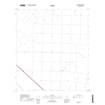 2019 West Sinton2019 Print · USGSCovers West Saint Paul, including West Sinton, San Patricio County, and other nearby areas
 - 2022 Map of West Sinton, 2022 Print
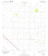
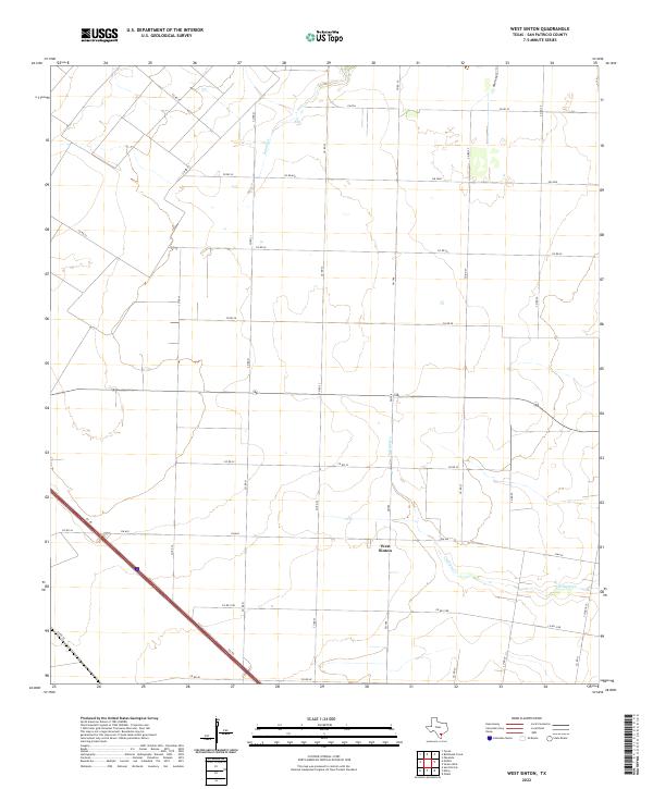 2022 West Sinton2022 Print · USGSCoastal Bend farming country in San Patricio County comes into focus in this contemporary survey. Local researchers can trace the rural landscape surrounding West Sinton, from the winding banks of Chiltipin Cr to the grid of routes like Co Rd 696.
End of results
Showing maps 1-11 of 11
Top cities near West Saint Paul
Frequently asked questions
- What are the different types of historical maps available for West Saint Paul?
- What is the oldest map of West Saint Paul?
- Where can I purchase historical maps of West Saint Paul for my home or office?
- Where can I download high-res historical maps of West Saint Paul?
- Are there historical topographic maps available for West Saint Paul?
- Is there historical aerial imagery available for West Saint Paul?
- Where are historical maps of West Saint Paul sourced from?