Old Maps of Bend, Texas
Explore 12 old maps of Bend, spanning from 1885 to today. These high-resolution historic maps reveal how streets, neighborhoods, landmarks, and natural features evolved over time — perfect for genealogy, metal detecting, research, and local history exploration.
What you can do with these maps:
- See how Bend changed over time: Compare historical maps to modern-day views to trace roads, homesites, rail lines & more.
- View detailed metadata: Each map includes creators, publishers, year, scale, and archive source.
- Overlay maps with satellite & LiDAR: Visualize the past alongside modern tools to explore terrain & human change.
- Trusted historical sources: Maps sourced from the USGS, Library of Congress, and other archives.
- Access maps your way: View online, download high-res files, or order prints for personal or research use.
Start exploring old maps of Bend to uncover forgotten places, hidden landmarks, and the deep history beneath your feet.
Bend, TX maps
(12)- 1885 Map of San Saba
 1885 San Saba1885 Print · USGSCentral Texas in the late nineteenth century comes alive through this survey of the river valleys and high knobs. Genealogists and researchers can trace the early foundations of San Saba and Goldthwaite, or find forgotten locations like Regency and Bendy.
 - 1894 Map of San Saba
 1894 San Saba1894 Print · USGSCentral Texas in the late nineteenth century is defined here by the meeting of the San Saba River and the Colorado River. Researchers can trace the path of the Gulf Colorado and Santa Fe Railroad near Goldthwaite or locate early settlements like Richland Springs and Red Bluff.4 unique versions available
 - 1931 Map of Bend
 1931 Bend1931 Print · USGSThe confluence of the Colorado and San Saba rivers in the mid-1920s reveals a rural Texas landscape of river crossings and country schools. Genealogists can trace early homesteads near Bend, the Bend Cem, and several local schoolhouses like Colony Sch.2 unique versions available
 - 1954 Map of Brownwood, 1955 Print
 1954 Brownwood1955 Print · USGSCentral Texas in the early fifties shows a landscape of rail-linked cattle towns and winding river valleys before modern highway expansion. Genealogists and historians can trace family-named peaks and vanished rail stops like Trickham, Santa Anna, and the Brady Mountains.3 unique versions available
 - 1959 Map of Bend, 1960 Print
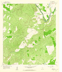 1959 Bend1960 Print · USGSThe Texas Hill Country landscape along the Colorado River was still defined by remote ranching and small church communities in the late fifties. Genealogists and historians can trace the foundations of Bend, locate the Rough Creek Ch, and explore landmarks like Round Mtn.3 unique versions available
 - 1959 Map of San Saba, 1962 Print
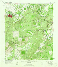 1959 San Saba1962 Print · USGSSan Saba sits at the heart of this Texas Hill Country landscape during the late fifties, where the river meets a network of ranching roads. Researchers can trace family lines through Pecan Grove Cem and Terry Cem or locate the old High Valley Sch.
 - 1985 Map of San Saba
 1985 San Saba1985 Print · USGSCentral Texas in the mid-eighties was a landscape of river-valley ranching and quiet railroad towns. Researchers can trace family history through sites like San Saba Cem, follow the Atchison Topeka and Santa Fe line, or explore landmarks near Pecan Bayou.2 unique versions available
 - 2010 Map of Bend, 2010 Print
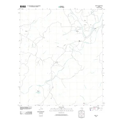 2010 Bend2010 Print · USGSThe Colorado River loops through San Saba County in the early twenty-first century, a landscape of ranching outposts and quiet creek valleys. Researchers can trace rural lineages at the Rough Creek Cemetery or locate the small settlements of Chappel and Bend.
 - 2013 Map of Bend, 2013 Print
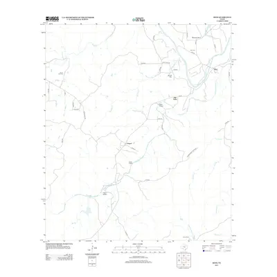 2013 Bend2013 Print · USGSSan Saba County ranching and river life are preserved here in the early twenty-first century. Genealogists and historians can trace family roots at the Bend Cem and Rough Creek Cem or locate the community of Chappel near the banks of Cherokee Cr.
 - 2016 Map of Bend, 2016 Print
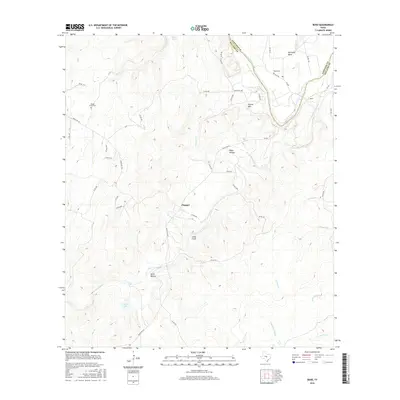 2016 Bend2016 Print · USGSThe Colorado River marks the county line in this rural Texas landscape during the early twenty-first century. Researchers can locate early burial sites like Rough Creek Cem and trace the paths of Cherokee Cr and Gorman Cr through the hills.
 - 2019 Map of Bend, 2019 Print
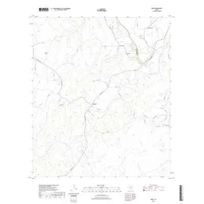 2019 Bend2019 Print · USGSThe Texas Hill Country landscape along the Colorado River is captured here in the late twenty-tens. Local historians can trace family roots at Rough Creek Cem or Bend Cem and explore the rural character of the Chappel settlement.
 - 2022 Map of Bend, 2022 Print
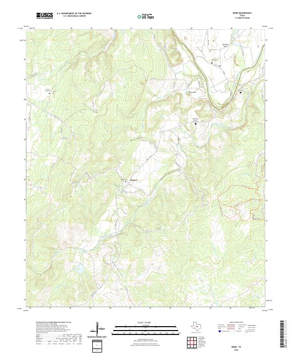 2022 Bend2022 Print · USGSThis central Texas river valley at the turn of the twenty-first century reveals a landscape defined by the winding Colorado River and local ranching life. Researchers can find old burial grounds like Bend Cem and trace rural routes through Chappel and McAnelly Bend.
End of results
Showing maps 1-12 of 12
Top cities near Bend
Frequently asked questions
- What are the different types of historical maps available for Bend?
- What is the oldest map of Bend?
- Where can I purchase historical maps of Bend for my home or office?
- Where can I download high-res historical maps of Bend?
- Are there historical topographic maps available for Bend?
- Is there historical aerial imagery available for Bend?
- Where are historical maps of Bend sourced from?