2020s Maps of Shackelford County, Texas
Explore 20 historic maps of Shackelford County from the 2020s. These maps offer a rare glimpse into what life looked like during the 2020s — showing old roads, neighborhoods, homes, and landmarks that have changed or disappeared over time.
Whether you're researching your family's past, planning a metal detecting trip, or studying how Shackelford County's landscape evolved across the 2020s, these high-resolution maps are a powerful tool for exploring the history of this region.
- Focus on a specific era: All maps on this page are from the 2020s, giving you a focused view of this time period.
- See what’s changed: Compare century-old streets, trails, and buildings to today's modern landscape using overlays and satellite layers.
- Research with precision: Use these maps for genealogy, historical research, land use analysis, or educational projects.
- View, download, or print: Maps are fully viewable online in high resolution, and can be downloaded or printed for your own records.
Start exploring Shackelford County's history through authentic maps from the 2020s. This is your window into the past.
Shackelford County, TX maps
(20)- 2022 Map of Murphy Creek, 2022 Print
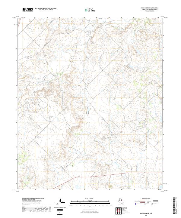 2022 Murphy Creek2022 Print · USGSShackelford County's ranching country is captured here in the early twenty-first century, showing a landscape defined by seasonal creeks and rural burial grounds. Genealogists and local researchers can trace family landmarks like Trinity Lutheran Cem and the waters of Stassney Lake.
 - 2022 Map of Collins Creek SW, 2022 Print
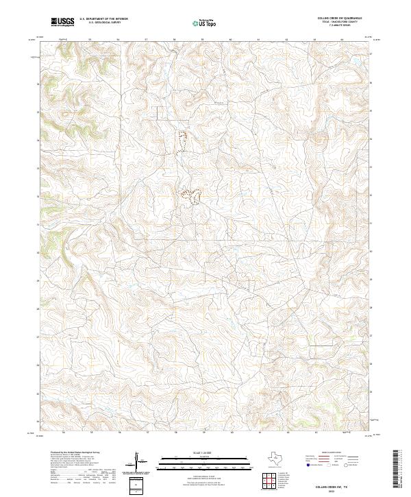 2022 Collins Creek SW2022 Print · USGSShackelford County ranchlands are documented here in the early twenty-first century, showing the enduring drainage patterns of the Texas interior. Researchers can trace the winding paths of Fish Cr and Swager Cr alongside rural infrastructure like Co Rd 157.
 - 2022 Map of Round Hill, 2022 Print
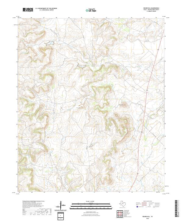 2022 Round Hill2022 Print · USGSShackelford County ranchlands are captured here in the early twenty-first century, showing a landscape defined by private roads and seasonal creeks. Researchers can trace land boundaries along FM 1084 or locate local landmarks like Round Hill and Casey Lake.
 - 2022 Map of Snyder Lake, 2022 Print
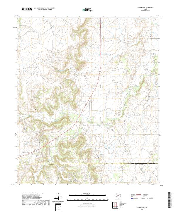 2022 Snyder Lake2022 Print · USGSShackelford and Callahan counties are documented here in the 2020s, showing a landscape defined by ranching and watershed management. Genealogists and land researchers can trace the course of Hubbard Cr or locate Snyder Lake and Dillen Lake.
 - 2022 Map of Antelope Hills, 2022 Print
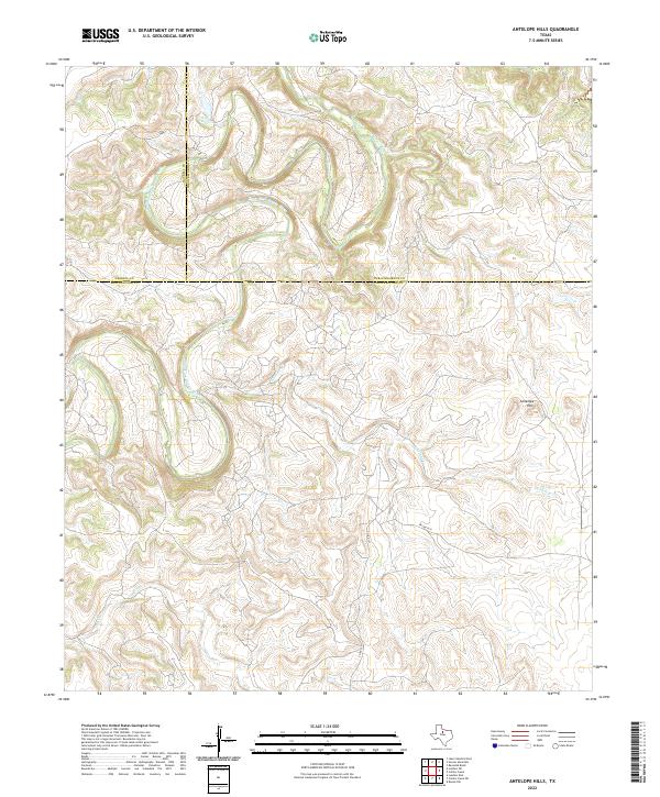 2022 Antelope Hills2022 Print · USGSTexas ranching country at the meeting point of three counties is defined here by the winding river and high ground. Researchers can trace the rugged drainage of the Clear Fork Brazos River and find landmarks like the Antelope Hills and Wolf Cr.
 - 2022 Map of Flattop, 2022 Print
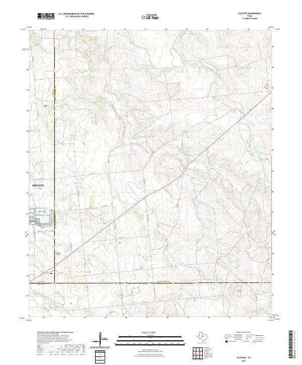 2022 Flattop2022 Print · USGSThe ranch lands northeast of Abilene are captured here in the early twenty-first century, spanning the junction of Jones, Shackelford, and Callahan counties. Local history researchers can trace family-named county roads and find specific sites like Hamby Cemetery and Portlock Airfield.
 - 2022 Map of Leeper Creek, 2022 Print
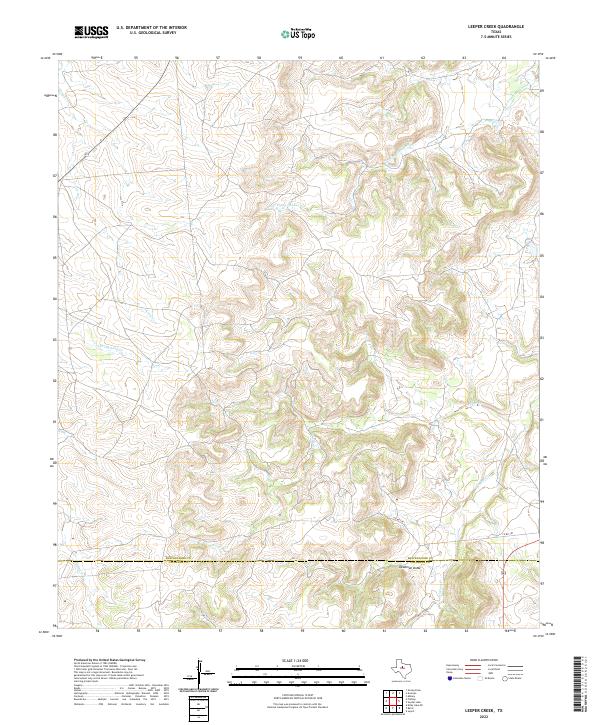 2022 Leeper Creek2022 Print · USGSThe Shackelford and Callahan county line in the early twenty-first century is a landscape of complex drainages and deep draws. Researchers can trace the winding paths of Salt Prong Hubbard Cr, the terrain of Deadman Draw, and the rural route of Co Rd 190.
 - 2022 Map of McCathrine Mountain, 2022 Print
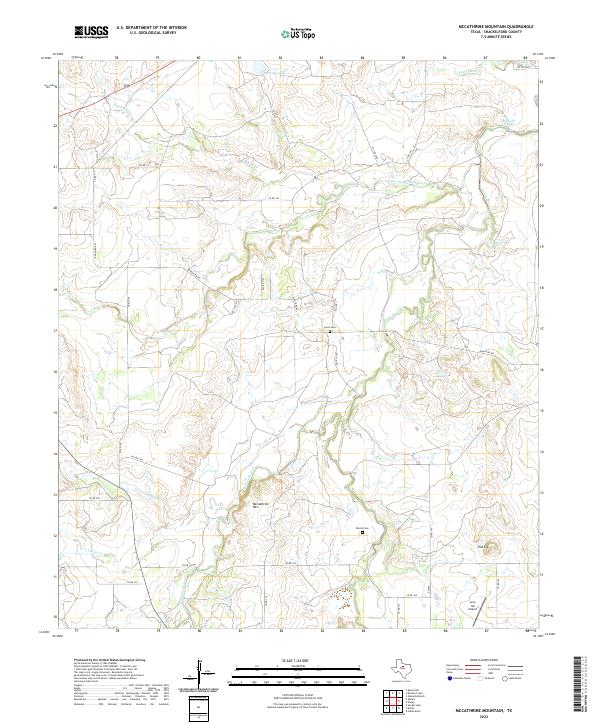 2022 McCathrine Mountain2022 Print · USGSShackelford County ranch lands are shown here in the 2020s, dominated by the drainage of Hubbard Creek. Researchers can locate the Lynch Cem, Parrish Cem, and topographical landmarks like McCathrine Mtn and Flat Top.
 - 2022 Map of Lusk, 2022 Print
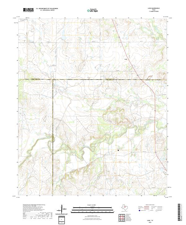 2022 Lusk2022 Print · USGSThe Clear Fork Brazos River basin in the early 2020s is a landscape of intersecting county lines and quiet rural roads. Genealogists and local historians can locate the Clear Fork Cem near the river or trace the small settlement of Lusk and the Lester Clark Reservoir.
 - 2022 Map of Moran, 2022 Print
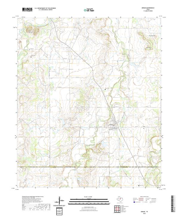 2022 Moran2022 Print · USGSThe ranchlands of the Shackelford and Callahan County line are captured here in recent years, centered on the historic town of Moran. Genealogists and local historians can trace family locations through burial grounds like Greer Cem and landmarks such as Mugginsville Mtn.
 - 2022 Map of Smoky Draw, 2022 Print
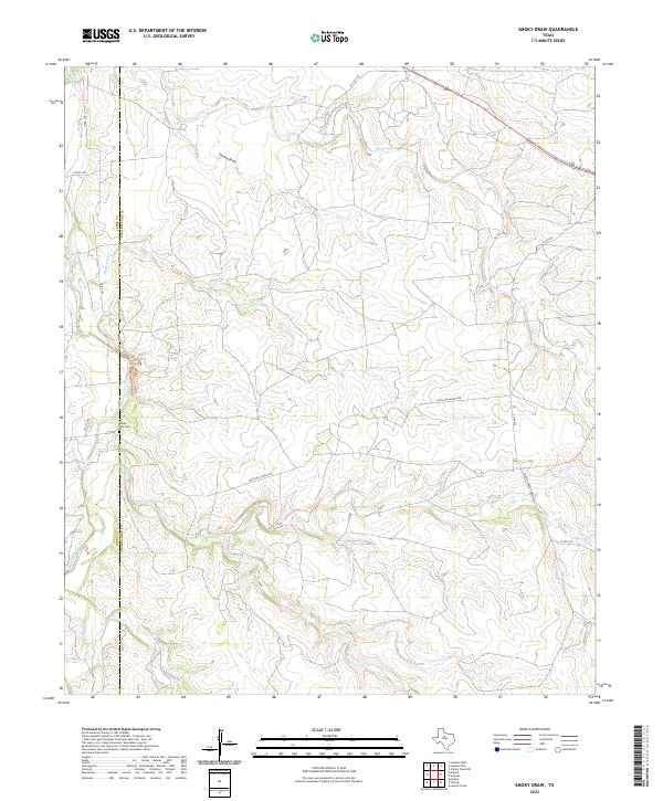 2022 Smoky Draw2022 Print · USGSShackelford and Jones counties are shown here in the early twenty-first century, revealing a landscape of expansive ranchlands and seasonal creek systems. Genealogists and local historians can trace the Rising Sun Cem or follow the paths of Buck Nail Ranch Rd and Smoky Draw.
 - 2022 Map of Indian Knoll, 2022 Print
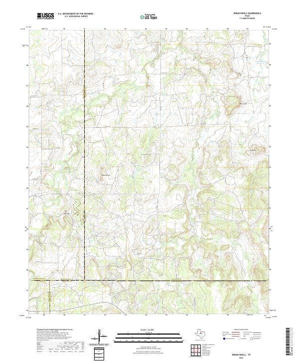 2022 Indian Knoll2022 Print · USGSThe ranchlands of West Texas where four counties meet are captured here in the early twenty-first century. Researchers can trace land boundaries and seasonal watercourses like Battle Cr while locating landmarks such as Red Gap and the Texas Company Reservoir.
 - 2022 Map of Fort Griffin, 2022 Print
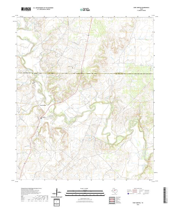 2022 Fort Griffin2022 Print · USGSThe Clear Fork of the Brazos River cuts through this Shackelford County ranching landscape as it appeared in the early 2020s. Genealogists can trace family heritage at the Old Fort Griffin Cem, Fort Griffin Cem, and the rural Ledbetter Cem.
 - 2022 Map of Lueders East, 2022 Print
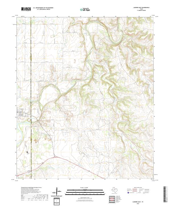 2022 Lueders East2022 Print · USGSThe rolling ranchlands of Shackelford and Jones Counties are defined here by the winding Clear Fork Brazos River. Genealogists can locate family sites near Lueders and the Lueders Cem or trace drainages like Chimney Cr.
 - 2022 Map of Acampo, 2022 Print
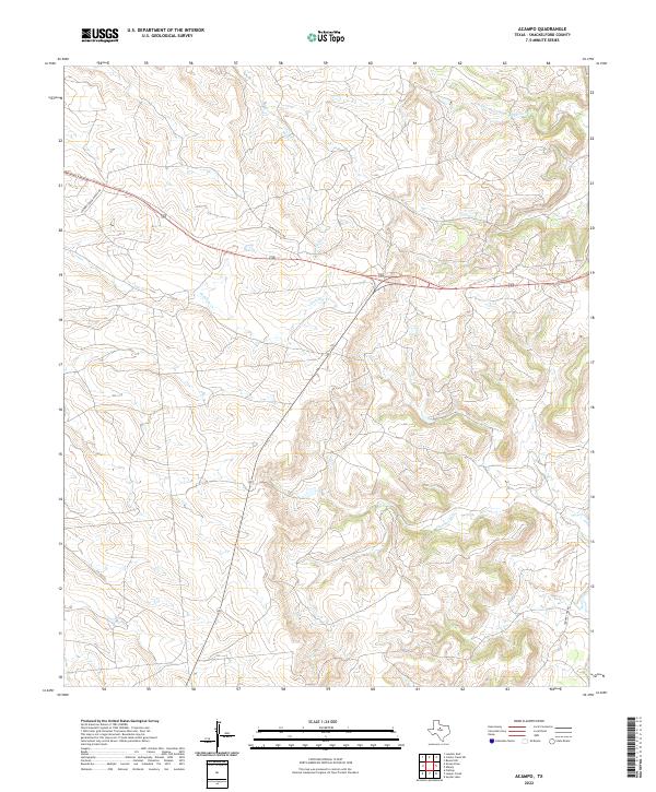 2022 Acampo2022 Print · USGSShackelford County ranch lands and river headwaters are captured here in the early twenty-first century. Researchers can trace the path of Chimney Creek Ranch Rd as it crosses Bluff Cr and Chimney Cr near the Highway 180 corridor.
 - 2022 Map of Collins Creek, 2022 Print
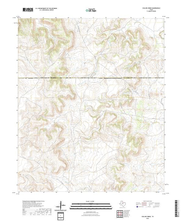 2022 Collins Creek2022 Print · USGSTexas ranching country along the Shackelford and Throckmorton county line is detailed here in the early twenty-first century. Researchers can trace land use and water features like Lambshead Cr and Lambshead Tank via Matthews Ranch Rd.
 - 2022 Map of Lueders NE, 2022 Print
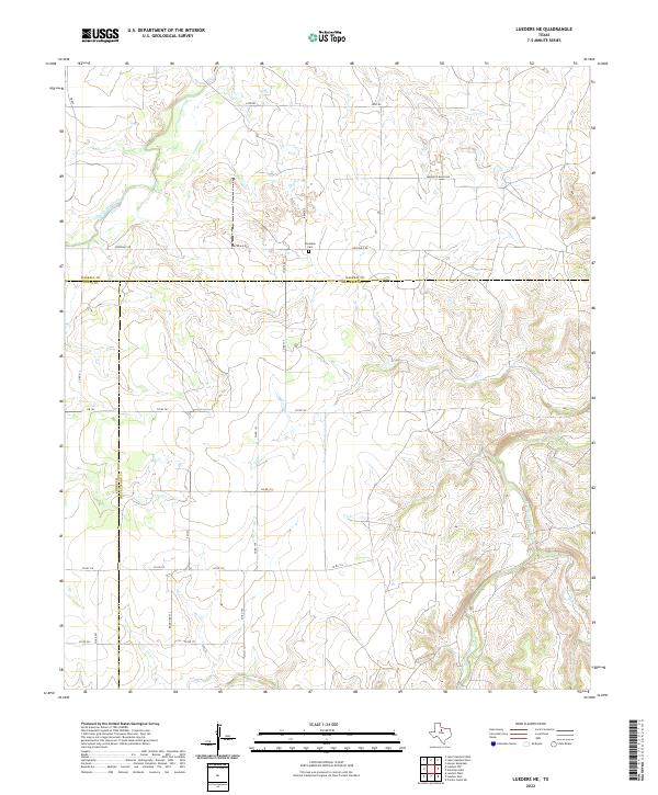 2022 Lueders NE2022 Print · USGSIn the rangelands of North Texas, this modern survey documents the intersection of Jones, Haskell, and Shackelford counties. Researchers can trace land boundaries along the Clear Fork Brazos River or locate the historic Rockdale Cem.
 - 2022 Map of Edwards Branch, 2022 Print
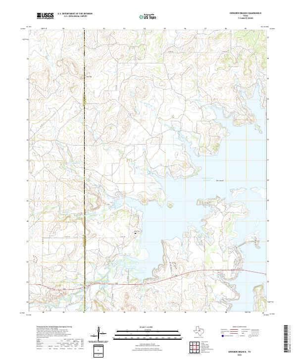 2022 Edwards Branch2022 Print · USGSStephens County and the Shackelford line are shown in the 2020s as the landscape centers on the sprawling Hubbard Creek Reservoir. Genealogists and local historians can locate Baker Cem or trace the drainage of Edwards Branch and Newcomb Cr.
 - 2022 Map of Albany, 2022 Print
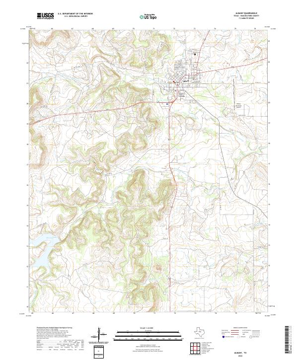 2022 Albany2022 Print · USGSAlbany and its surrounding ranch lands are shown here in recent years, centered on the historic Shackelford County Courthouse. Researchers can trace the town's expansion toward the Albany Municipal Airport and locate sites like the Albany Cem.
 - 2022 Map of Eolian, 2022 Print
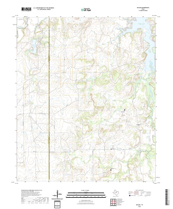 2022 Eolian2022 Print · USGSTexas ranchlands along the Shackelford and Stephens county line are captured here in the early twenty-first century. Researchers can trace local lineages through Plum Branch Cem and Shady Grove Cem or follow the banks of Big Sandy Creek.
End of results
Showing maps 1-20 of 20
Top cities of Shackelford County
Frequently asked questions
- What are the different types of historical maps available for Shackelford County?
- What is the oldest map of Shackelford County?
- Where can I purchase historical maps of Shackelford County for my home or office?
- Where can I download high-res historical maps of Shackelford County?
- Are there historical topographic maps available for Shackelford County?
- Is there historical aerial imagery available for Shackelford County?
- Where are historical maps of Shackelford County sourced from?