2000s (21st Century) Maps of Hurstown, Texas
Explore 6 historic maps of Hurstown from the 2000s (21st Century). These maps offer a rare glimpse into what life looked like during the 2000s — showing old roads, neighborhoods, homes, and landmarks that have changed or disappeared over time.
Whether you're researching your family's past, planning a metal detecting trip, or studying how Hurstown's landscape evolved across the 2000s, these high-resolution maps are a powerful tool for exploring the history of this region.
- Focus on a specific era: All maps on this page are from the 2000s, giving you a focused view of this time period.
- See what’s changed: Compare century-old streets, trails, and buildings to today's modern landscape using overlays and satellite layers.
- Research with precision: Use these maps for genealogy, historical research, land use analysis, or educational projects.
- View, download, or print: Maps are fully viewable online in high resolution, and can be downloaded or printed for your own records.
Start exploring Hurstown's history through authentic maps from the 2000s. This is your window into the past.
Hurstown, TX maps
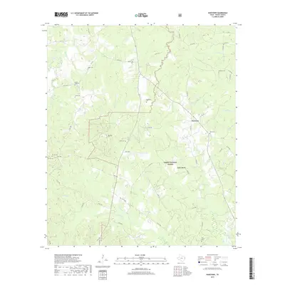
(6)- 2003 Map of Hurstown, 2004 Print
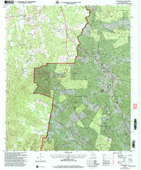 2003 Hurstown2004 Print · USGSShelby County, Texas, was a patchwork of timbered forest and family settlements at the start of the 2000s. Genealogists can trace family roots through several rural landmarks, including Todd Springs Ch, Mc Williams Cem, and East Liberty.
 - 2010 Map of Hurstown, 2010 Print
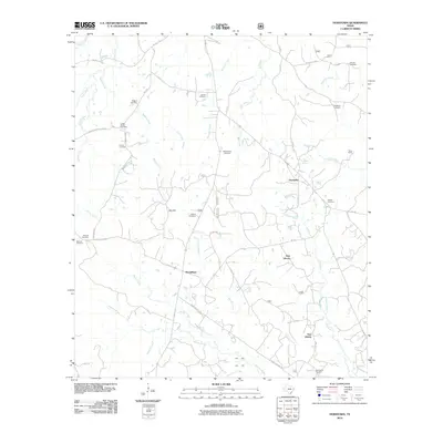 2010 Hurstown2010 Print · USGSCovers Hurstown, including McClelland, East Liberty, and other nearby areas
 - 2013 Map of Hurstown, 2013 Print
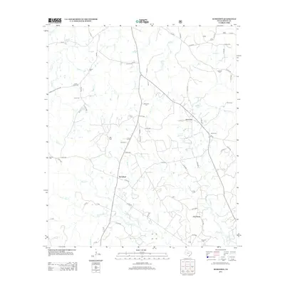 2013 Hurstown2013 Print · USGSCovers Hurstown, including McClelland, East Liberty, and other nearby areas
 - 2016 Map of Hurstown, 2016 Print
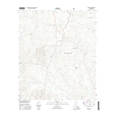 2016 Hurstown2016 Print · USGSCovers Hurstown, including McClelland, East Liberty, and other nearby areas
 - 2019 Map of Hurstown, 2019 Print
 2019 Hurstown2019 Print · USGSCovers Hurstown, including McClelland, East Liberty, and other nearby areas
 - 2022 Map of Hurstown, 2022 Print
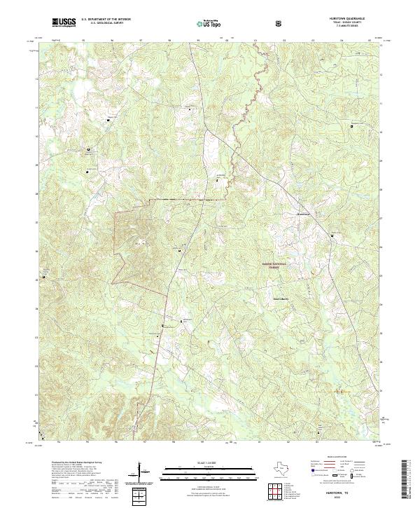 2022 Hurstown2022 Print · USGSShelby County, Texas, is mapped here in the early 2020s, showing a rural landscape anchored by the Sabine National Forest. Genealogists can trace numerous family burial sites such as Cannon Cem, Adams Cem, and Rather Cem across the creeks and bayous.
End of results
Showing maps 1-6 of 6
Top cities near Hurstown
Frequently asked questions
- What are the different types of historical maps available for Hurstown?
- What is the oldest map of Hurstown?
- Where can I purchase historical maps of Hurstown for my home or office?
- Where can I download high-res historical maps of Hurstown?
- Are there historical topographic maps available for Hurstown?
- Is there historical aerial imagery available for Hurstown?
- Where are historical maps of Hurstown sourced from?