2000s (21st Century) Maps of Joaquin, Texas
Explore 6 historic maps of Joaquin from the 2000s (21st Century). These maps offer a rare glimpse into what life looked like during the 2000s — showing old roads, neighborhoods, homes, and landmarks that have changed or disappeared over time.
Whether you're researching your family's past, planning a metal detecting trip, or studying how Joaquin's landscape evolved across the 2000s, these high-resolution maps are a powerful tool for exploring the history of this region.
- Focus on a specific era: All maps on this page are from the 2000s, giving you a focused view of this time period.
- See what’s changed: Compare century-old streets, trails, and buildings to today's modern landscape using overlays and satellite layers.
- Research with precision: Use these maps for genealogy, historical research, land use analysis, or educational projects.
- View, download, or print: Maps are fully viewable online in high resolution, and can be downloaded or printed for your own records.
Start exploring Joaquin's history through authentic maps from the 2000s. This is your window into the past.
Joaquin, TX maps
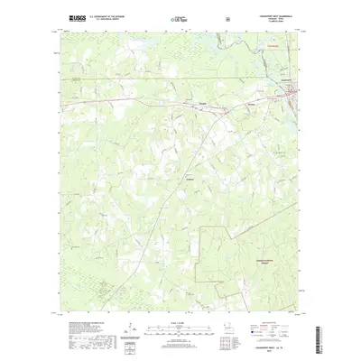
(6)- 2003 Map of Logansport West, 2004 Print
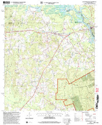 2003 Logansport West2004 Print · USGSThe Sabine River borderlands at the turn of the twenty-first century reveal a landscape of timber and energy production. Genealogists can locate Johnson Cem and Fruit Cem, or trace rural life through Lone Cedar Ch and Hewitt Camp.
 - 2010 Map of Logansport West, 2010 Print
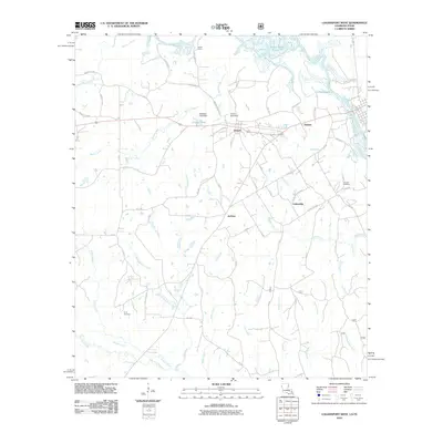 2010 Logansport West2010 Print · USGSCovers Joaquin, including Logansport, Fellowship, and other nearby areas
 - 2015 Map of Logansport West, 2015 Print
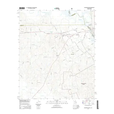 2015 Logansport West2015 Print · USGSCovers Joaquin, including Logansport, Fellowship, and other nearby areas
 - 2018 Map of Logansport West, 2018 Print
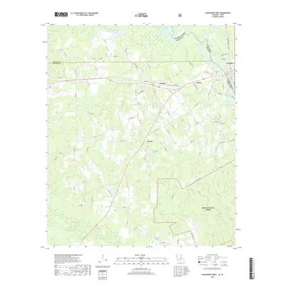 2018 Logansport West2018 Print · USGSCovers Joaquin, including Logansport, Fellowship, and other nearby areas
 - 2020 Map of Logansport West, 2020 Print
 2020 Logansport West2020 Print · USGSCovers Joaquin, including Logansport, Fellowship, and other nearby areas
 - 2024 Map of Logansport West, 2024 Print
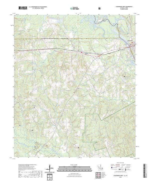 2024 Logansport West2024 Print · USGSThe Sabine River borderlands in the 2020s show a landscape of timbered national forest and small cross-border communities. Genealogists can trace family footprints through numerous rural burial sites like Pine Ridge Cem, Jackson Cem, and Lone Cedar Cem.
End of results
Showing maps 1-6 of 6
Top cities near Joaquin
- Center historical maps
- Logansport historical maps
- Tenaha historical maps
- Huxley historical maps
- Grand Cane historical maps
- Longstreet historical maps
See more
Top neighborhoods of Joaquin
Frequently asked questions
- What are the different types of historical maps available for Joaquin?
- What is the oldest map of Joaquin?
- Where can I purchase historical maps of Joaquin for my home or office?
- Where can I download high-res historical maps of Joaquin?
- Are there historical topographic maps available for Joaquin?
- Is there historical aerial imagery available for Joaquin?
- Where are historical maps of Joaquin sourced from?