Old Maps of Garden Valley, Texas for Hiking & Exploration
Hike through history with 11 historic maps of Garden Valley. Explore old trails, ghost towns, and forgotten backroads — perfect for outdoor adventurers and local explorers.
- Rediscover forgotten places: Map out old mining camps, roads, and footpaths that no longer exist on modern maps.
- Layer with modern tools: Combine with LiDAR or satellite views to plan hikes through historical terrain.
- Made for exploration: Popular among hikers, overlanders, and local history lovers.
Use these maps to find adventure and explore the hidden past of Garden Valley.
Garden Valley, TX maps
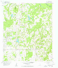
(11)- 1956 Map of Tyler
 1956 Tyler1956 Print · USGSEast Texas was a powerhouse of oil production and rail transport during the mid-fifties, centered on the sprawling East Texas Oil Field. Researchers can trace the heritage of industrial hubs like Kilgore, military sites such as the Longhorn Ordnance Works, and many rural landmarks like Mount Enterprise.5 unique versions available
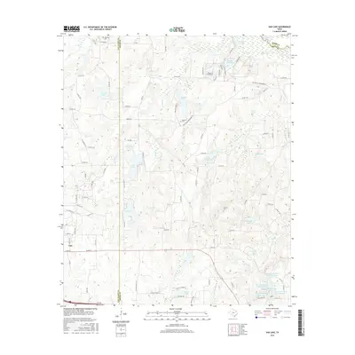
 - 1959 Map of Van Lake, 1960 Print
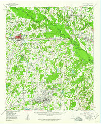
 1959 Van Lake1960 Print · USGSThe oil-rich landscape of East Texas in the late fifties comes alive on this map, showing the rural crossroads and petroleum fields of Smith and Van Zandt counties. Genealogists can locate family landmarks like Dickerson Cem and churches like Union Chapel and Wisdom Temple.4 unique versions available
 - 1959 Map of Grand Saline, 1961 Print
 1959 Grand Saline1961 Print · USGSEast Texas in the late fifties reveals a landscape shaped by the oil industry and the railroad. Researchers can trace family-named sites and vanished landmarks like Collins Ferry, Van Oil Field, and the Union Chapel.2 unique versions available
 - 1984 Map of Tyler
 1984 Tyler1984 Print · USGSEast Texas at the peak of its reservoir-building era shows a landscape defined by new lakes and established rail corridors. Trace the path of the St Louis Southwestern RR or locate industrial sites like the Longhorn Ordnance Works.3 unique versions available
 - 1985 Map of Mineola
 1985 Mineola1985 Print · USGSUpper East Texas in the mid-eighties shows a region shaped by the Sabine River and large-scale water projects. Researchers can trace the rail heritage of the Missouri Pacific RR and locate rural landmarks like Ambassador College Res or the Oil Field.
 - 1991 Map of Mineola
 1991 Mineola1991 Print · USGSEast Texas in the early nineties reveals a landscape shaped by large-scale water reservoirs and the enduring footprint of the oil industry. Genealogists and historians can trace rail-town development in Mineola or explore smaller settlements like Bright Star and Garden Valley.
 - 2010 Map of Van Lake, 2010 Print
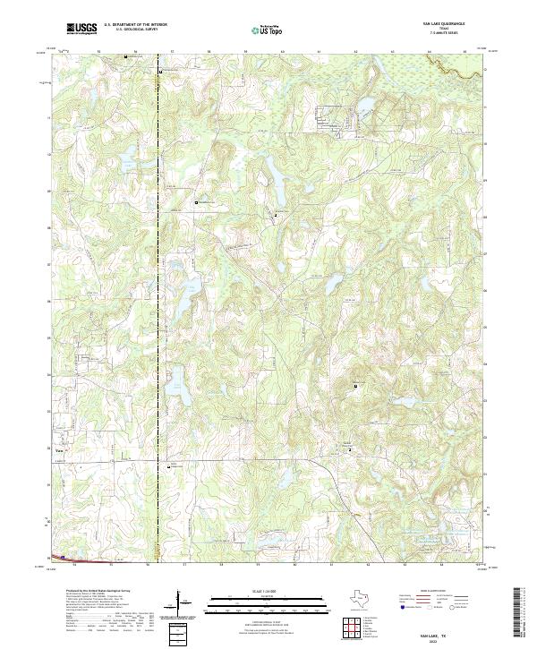
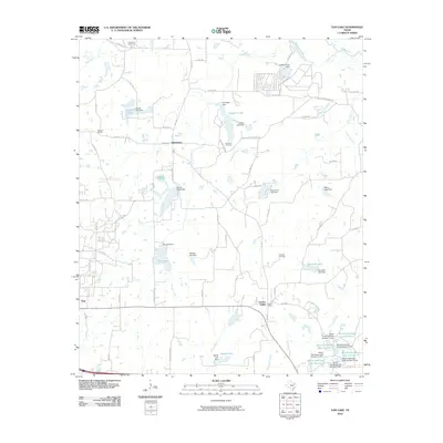 2010 Van Lake2010 Print · USGSCovers Garden Valley, including Van, Jamestown, and other nearby areas
 - 2012 Map of Van Lake, 2012 Print
 2012 Van Lake2012 Print · USGSCovers Garden Valley, including Van, Jamestown, and other nearby areas
 - 2016 Map of Van Lake, 2016 Print
 2016 Van Lake2016 Print · USGSCovers Garden Valley, including Van, Jamestown, and other nearby areas
 - 2019 Map of Van Lake, 2019 Print
 2019 Van Lake2019 Print · USGSCovers Garden Valley, including Van, Jamestown, and other nearby areas
 - 2022 Map of Van Lake, 2022 Print
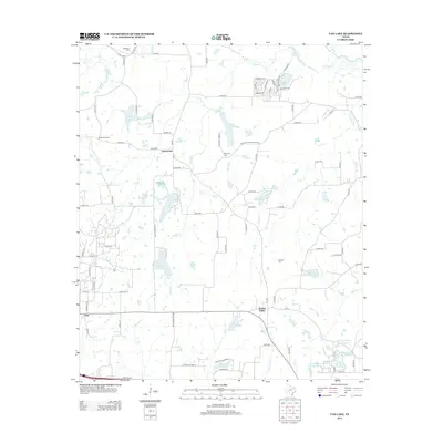
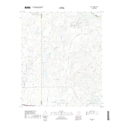
 2022 Van Lake2022 Print · USGSThe Van Zandt and Smith County line comes alive in the early twenty-first century, showing a landscape of small lakes and rural homesteads. Trace ancestral ties at Union Chapel Cem, Jamestown Cem, or along the banks of the Sabine River.
End of results
Showing maps 1-11 of 11
Top cities near Garden Valley
- Tyler historical maps
- Lindale historical maps
- Mineola historical maps
- Chandler historical maps
- Grand Saline historical maps
- Hideaway historical maps
See more
Frequently asked questions
- What are the different types of historical maps available for Garden Valley?
- What is the oldest map of Garden Valley?
- Where can I purchase historical maps of Garden Valley for my home or office?
- Where can I download high-res historical maps of Garden Valley?
- Are there historical topographic maps available for Garden Valley?
- Is there historical aerial imagery available for Garden Valley?
- Where are historical maps of Garden Valley sourced from?