2000s (21st Century) Maps of Tamez Colonia, Texas
Explore 6 historic maps of Tamez Colonia from the 2000s (21st Century). These maps offer a rare glimpse into what life looked like during the 2000s — showing old roads, neighborhoods, homes, and landmarks that have changed or disappeared over time.
Whether you're researching your family's past, planning a metal detecting trip, or studying how Tamez Colonia's landscape evolved across the 2000s, these high-resolution maps are a powerful tool for exploring the history of this region.
- Focus on a specific era: All maps on this page are from the 2000s, giving you a focused view of this time period.
- See what’s changed: Compare century-old streets, trails, and buildings to today's modern landscape using overlays and satellite layers.
- Research with precision: Use these maps for genealogy, historical research, land use analysis, or educational projects.
- View, download, or print: Maps are fully viewable online in high resolution, and can be downloaded or printed for your own records.
Start exploring Tamez Colonia's history through authentic maps from the 2000s. This is your window into the past.
Tamez Colonia, TX maps
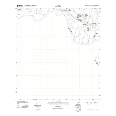
(6)- 2002 Map of Rio Grande City South, 2003 Print
 2002 Rio Grande City South2003 Print · USGSThe Texas-Mexico borderlands come alive in this early 2000s survey of the Starr County riverfront. Researchers can trace the international crossing at Puente de Cuota Aduana or locate historical sites like Olmos Cem and the Monumento Batalla Santa Gertrudis.
 - 2010 Map of Rio Grande City South, 2010 Print
 2010 Rio Grande City South2010 Print · USGSCovers Tamez Colonia, including Rio Grande City, Ciudad Camargo, and other nearby areas
 - 2013 Map of Rio Grande City South, 2013 Print
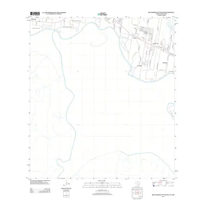 2013 Rio Grande City South2013 Print · USGSCovers Tamez Colonia, including Rio Grande City, Ciudad Camargo, and other nearby areas
 - 2016 Map of Rio Grande City South, 2016 Print
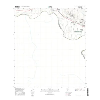 2016 Rio Grande City South2016 Print · USGSCovers Tamez Colonia, including Rio Grande City, Ciudad Camargo, and other nearby areas
 - 2019 Map of Rio Grande City South, 2019 Print
 2019 Rio Grande City South2019 Print · USGSCovers Tamez Colonia, including Rio Grande City, Ciudad Camargo, and other nearby areas
 - 2022 Map of Rio Grande City South, 2022 Print
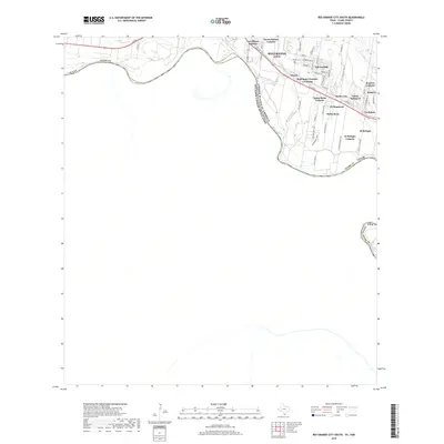
 2022 Rio Grande City South2022 Print · USGSThe Rio Grande frontier in South Texas comes into focus here, showing the growth of colonias near the border. Researchers can trace local lineage at Jose Marie Lopez Cem and explore family-named tracts like Garza-Salinas II and Las Lomas.
End of results
Showing maps 1-6 of 6
Top cities near Tamez Colonia
- Rio Grande City historical maps
- Roma historical maps
- Sullivan City historical maps
- La Grulla historical maps
- Los Ebanos historical maps
Frequently asked questions
- What are the different types of historical maps available for Tamez Colonia?
- What is the oldest map of Tamez Colonia?
- Where can I purchase historical maps of Tamez Colonia for my home or office?
- Where can I download high-res historical maps of Tamez Colonia?
- Are there historical topographic maps available for Tamez Colonia?
- Is there historical aerial imagery available for Tamez Colonia?
- Where are historical maps of Tamez Colonia sourced from?