2020s Maps of Sterling City, Texas
Explore 2 historic maps of Sterling City from the 2020s. These maps offer a rare glimpse into what life looked like during the 2020s — showing old roads, neighborhoods, homes, and landmarks that have changed or disappeared over time.
Whether you're researching your family's past, planning a metal detecting trip, or studying how Sterling City's landscape evolved across the 2020s, these high-resolution maps are a powerful tool for exploring the history of this region.
- Focus on a specific era: All maps on this page are from the 2020s, giving you a focused view of this time period.
- See what’s changed: Compare century-old streets, trails, and buildings to today's modern landscape using overlays and satellite layers.
- Research with precision: Use these maps for genealogy, historical research, land use analysis, or educational projects.
- View, download, or print: Maps are fully viewable online in high resolution, and can be downloaded or printed for your own records.
Start exploring Sterling City's history through authentic maps from the 2020s. This is your window into the past.
Sterling City, TX maps
(2)- 2022 Map of Cumbie Draw, 2022 Print
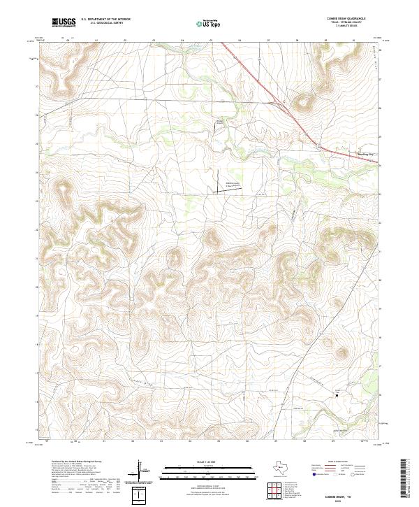 2022 Cumbie Draw2022 Print · USGSSterling County ranchlands are documented here in recent years, showing a landscape defined by private aviation and intermittent draws. Genealogists and researchers can locate Foster Cem and trace the paths of Cumbie Draw and James Hollow.
 - 2022 Map of Sterling City, 2022 Print
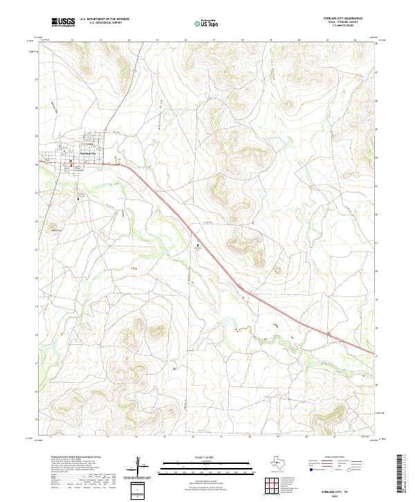 2022 Sterling City2022 Print · USGSSterling County in the early twenty-first century remains defined by its remote ranching heritage and the central hub of Sterling City. Genealogists and historians can trace the local landscape through the Sterling County Courthouse, Sterling City Cem, and the high point at Round Top.
End of results
Showing maps 1-2 of 2
Frequently asked questions
- What are the different types of historical maps available for Sterling City?
- What is the oldest map of Sterling City?
- Where can I purchase historical maps of Sterling City for my home or office?
- Where can I download high-res historical maps of Sterling City?
- Are there historical topographic maps available for Sterling City?
- Is there historical aerial imagery available for Sterling City?
- Where are historical maps of Sterling City sourced from?