Old Maps of Sterling City, Texas
Explore 17 old maps of Sterling City, spanning from 1954 to today. These high-resolution historic maps reveal how streets, neighborhoods, landmarks, and natural features evolved over time — perfect for genealogy, metal detecting, research, and local history exploration.
What you can do with these maps:
- See how Sterling City changed over time: Compare historical maps to modern-day views to trace roads, homesites, rail lines & more.
- View detailed metadata: Each map includes creators, publishers, year, scale, and archive source.
- Overlay maps with satellite & LiDAR: Visualize the past alongside modern tools to explore terrain & human change.
- Trusted historical sources: Maps sourced from the USGS, Library of Congress, and other archives.
- Access maps your way: View online, download high-res files, or order prints for personal or research use.
Start exploring old maps of Sterling City to uncover forgotten places, hidden landmarks, and the deep history beneath your feet.
Sterling City, TX maps
(17)- 1954 Map of San Angelo, 1967 Print
 1954 San Angelo1967 Print · USGSThe Concho Valley and eastern Permian Basin transition from ranching to a burgeoning oil economy during the mid-twentieth century. Trace the expansion of San Angelo near Goodfellow AFB and locate old crossroads like Stiles, Texon, and Barnhart along the SANTA FE railroad.2 unique versions available
 - 1958 Map of San Angelo
 1958 San Angelo1958 Print · USGSWest Texas in the late fifties centers on the growing hub of San Angelo and its vital river confluences. Genealogists and historians can trace the paths of the Santa Fe railroad to outposts like Fort Chadbourne, Big Lake, and the specialized community of Sanatorium.
 - 1963 Map of Cumbie Draw, 1964 Print
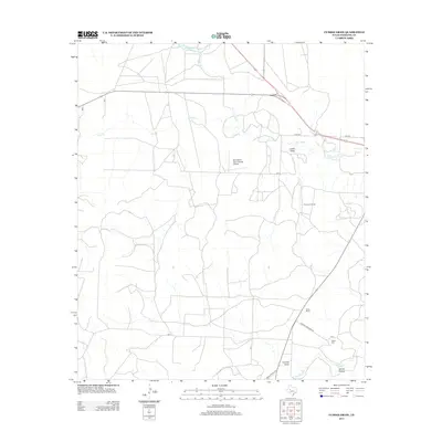
 1963 Cumbie Draw1964 Print · USGSSterling County ranching and petroleum development are captured here in the early sixties as the North Concho River bisects the land. Researchers can find the Foster Cem, an Old RR Grade, and the family-named Foster Ranch.
 - 1965 Map of San Angelo
 1965 San Angelo1965 Print · USGSWest Texas in the mid-sixties reveals a landscape shaped by the petroleum industry and strategic water management. Genealogists and historians can trace the rail corridor through Texon and Big Lake, or locate military landmarks like Goodfellow AFB and Broome Air Force Auxiliary Airfield.
 - 1972 Map of Sterling City, 1974 Print
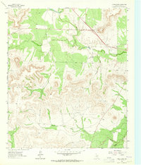
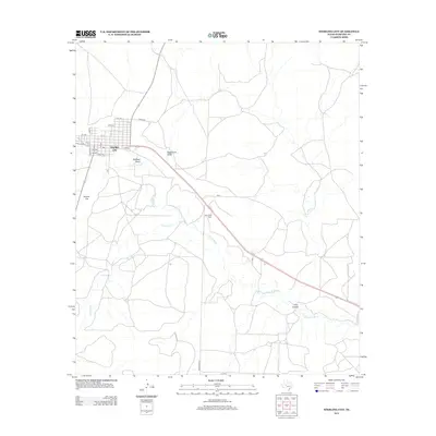
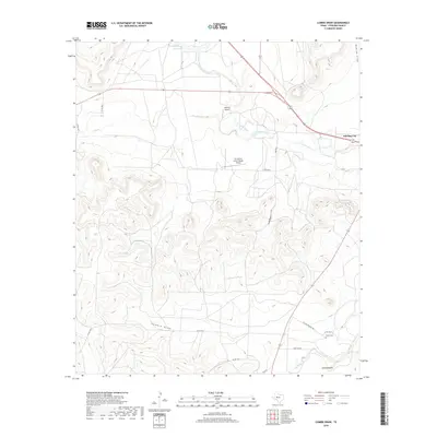
 1972 Sterling City1974 Print · USGSSterling City is shown in the early 1970s at the junction of the North Concho River and Mackenzie Draw. Researchers can trace old property lines and local landmarks like Montvale Cem, the Gaging Sta, and numerous scattered Oil Wells.
 - 1986 Map of Lacy Creek
 1986 Lacy Creek1986 Print · USGSGlasscock County and its surrounding West Texas neighbors are shown during the mid-1980s oil boom. Local historians can trace the expansive OIL FIELD networks surrounding Garden City and Saint Lawrence or locate landmarks like White Lake and Midkiff.2 unique versions available
 - 1986 Map of Robert Lee
 1986 Robert Lee1986 Print · USGSWest Texas ranching and oil country come into focus in the mid-eighties as the E V Spence Reservoir reshapes the landscape near Robert Lee. Researchers can trace the path of the Atchison Topeka and Santa Fe railroad through Rowena or locate the historic Fort Chadbourne.2 unique versions available
 - 2010 Map of Sterling City, 2010 Print
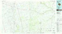
 2010 Sterling City2010 Print · USGSCovers Sterling City, including Sterling County, United States, and other nearby areas
 - 2010 Map of Cumbie Draw, 2010 Print
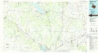
 2010 Cumbie Draw2010 Print · USGSCovers Sterling City, including Sterling County, United States, and other nearby areas
 - 2012 Map of Sterling City, 2012 Print
 2012 Sterling City2012 Print · USGSCovers Sterling City, including Sterling County, United States, and other nearby areas
 - 2013 Map of Cumbie Draw, 2013 Print
 2013 Cumbie Draw2013 Print · USGSCovers Sterling City, including Sterling County, United States, and other nearby areas
 - 2016 Map of Cumbie Draw, 2016 Print
 2016 Cumbie Draw2016 Print · USGSCovers Sterling City, including Sterling County, United States, and other nearby areas
 - 2016 Map of Sterling City, 2016 Print
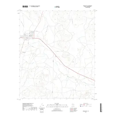
 2016 Sterling City2016 Print · USGSCovers Sterling City, including Sterling County, United States, and other nearby areas
 - 2019 Map of Sterling City, 2019 Print
 2019 Sterling City2019 Print · USGSCovers Sterling City, including Sterling County, United States, and other nearby areas
 - 2019 Map of Cumbie Draw, 2019 Print
 2019 Cumbie Draw2019 Print · USGSCovers Sterling City, including Sterling County, United States, and other nearby areas
 - 2022 Map of Cumbie Draw, 2022 Print
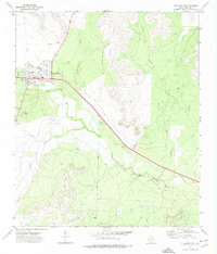
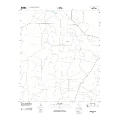
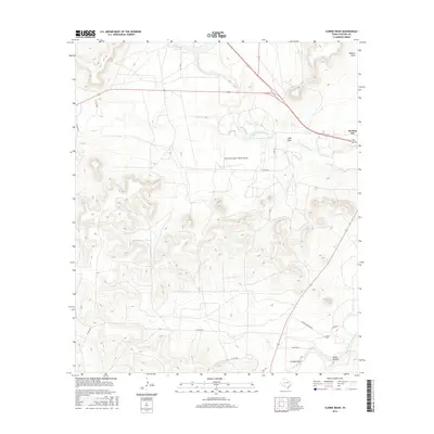
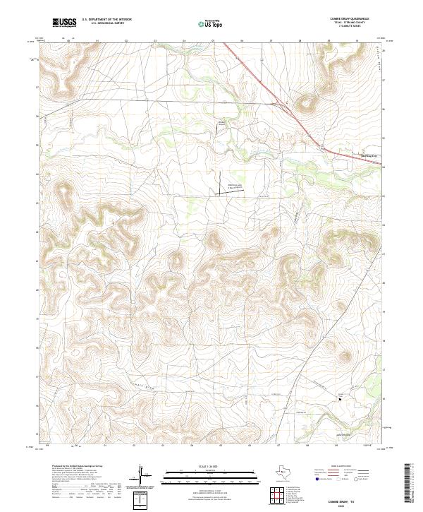 2022 Cumbie Draw2022 Print · USGSSterling County ranchlands are documented here in recent years, showing a landscape defined by private aviation and intermittent draws. Genealogists and researchers can locate Foster Cem and trace the paths of Cumbie Draw and James Hollow.
 - 2022 Map of Sterling City, 2022 Print
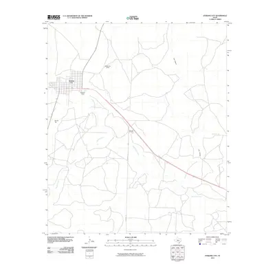
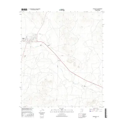
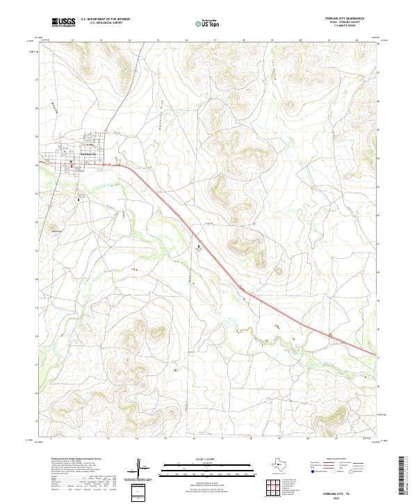 2022 Sterling City2022 Print · USGSSterling County in the early twenty-first century remains defined by its remote ranching heritage and the central hub of Sterling City. Genealogists and historians can trace the local landscape through the Sterling County Courthouse, Sterling City Cem, and the high point at Round Top.
End of results
Showing maps 1-17 of 17
Frequently asked questions
- What are the different types of historical maps available for Sterling City?
- What is the oldest map of Sterling City?
- Where can I purchase historical maps of Sterling City for my home or office?
- Where can I download high-res historical maps of Sterling City?
- Are there historical topographic maps available for Sterling City?
- Is there historical aerial imagery available for Sterling City?
- Where are historical maps of Sterling City sourced from?